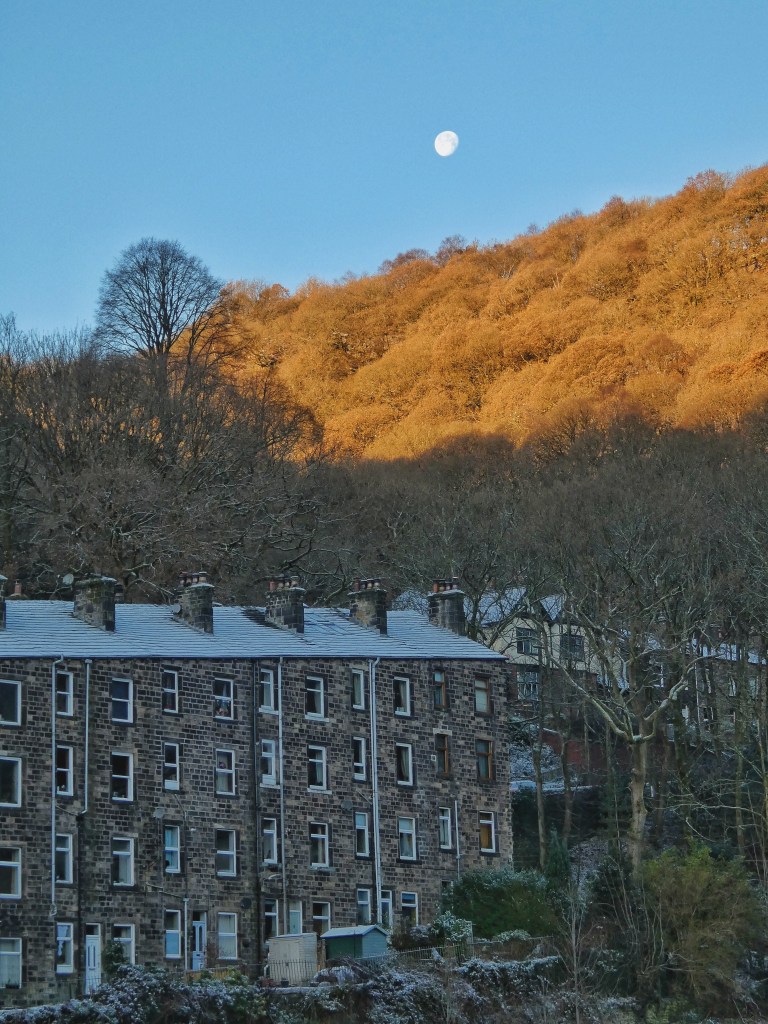
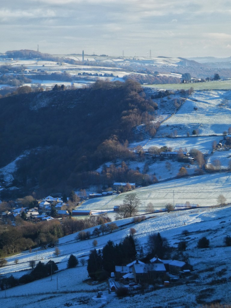
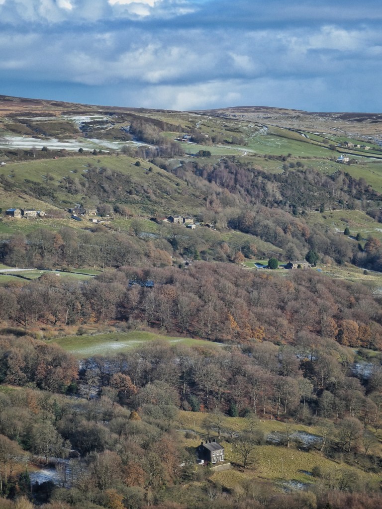
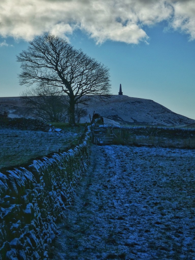
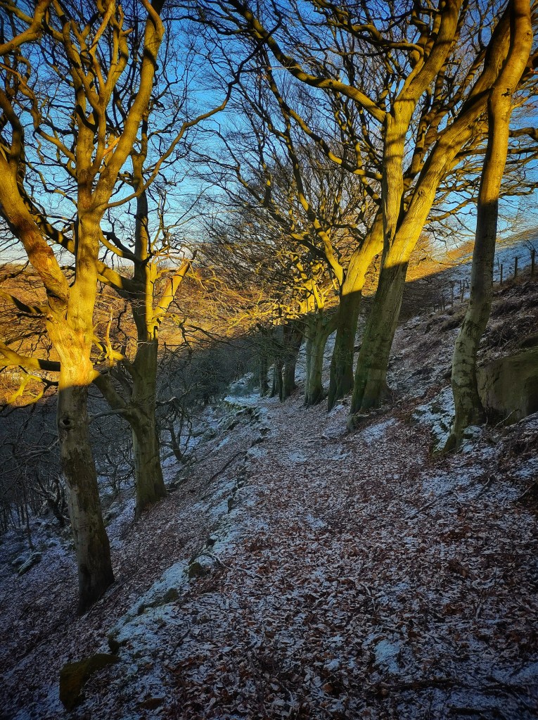
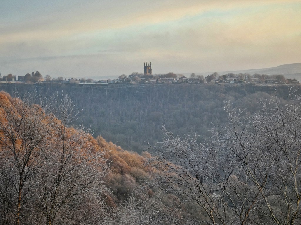
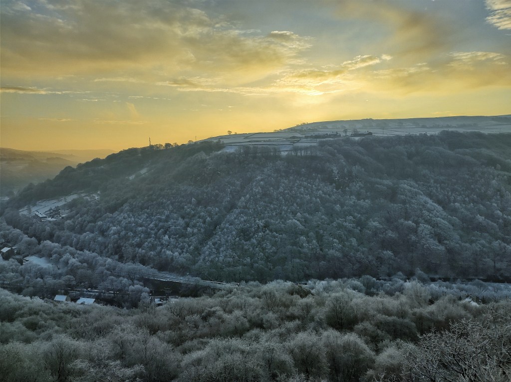
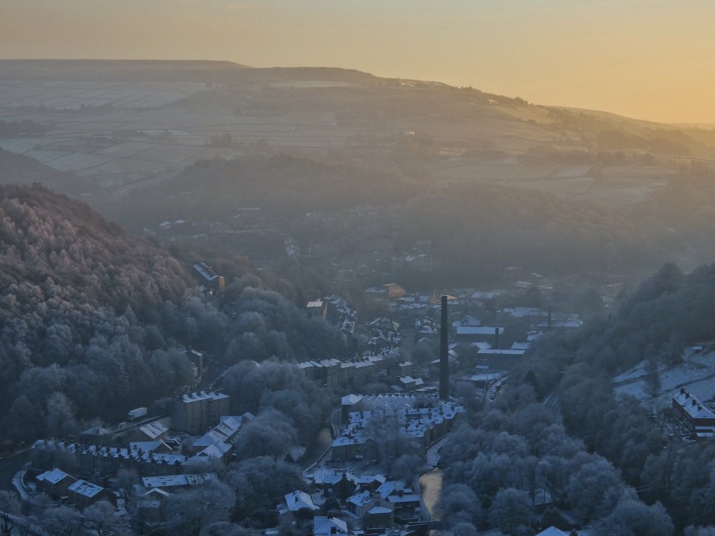
A succession of sub-zero nights, a powdering of snow, and the landscape is plunged into winter, even before it officially begins according to the meteorological calendar. The dazzling sun colours the south-facing slopes from white to green each day, only for ferocious frosts to undo its work by the following morning. Each night is colder yet than the last, and the shadowed woods in the cloughs and on the north-facing hillsides sink deeper into the freeze, until every tree is calcified to the tips of their every terminal twig. They shade from a flushed rose at dawn as the Moon sets over them, through shining alabaster at noon to petrified blue in the frozen dusk.
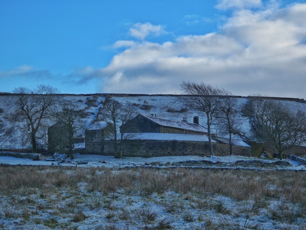
Fieldfares flit over Haven Lane in Erringden, where the snow lies on the sheep trod terraces below the Cuckoo Stone, a natural boulder which thrusts its way out of the turf like a breaching humpback whale. A magpie lands on one of its neighbouring rocks, and greenfinches softly call among the trees that seclude Great Jumps. A grassy mire has been created in one of Erringden Grange’s meadows by an overwhelmed field drain, and it has been claimed by a row of five mallards, quacking with self-congratulation, ignored by the indifferent sheep. A raven spins and stoops above Bents Farm, a pair of mistle thrush skim over the hollies fringing Beaumont Clough, gulls scull against the wind in the fathomless sky, the shrill laugh of a green woodpecker echoes over Knott Wood, and a little owl keeps wide-eyed watch from the gaping roof of Cruttonstall.
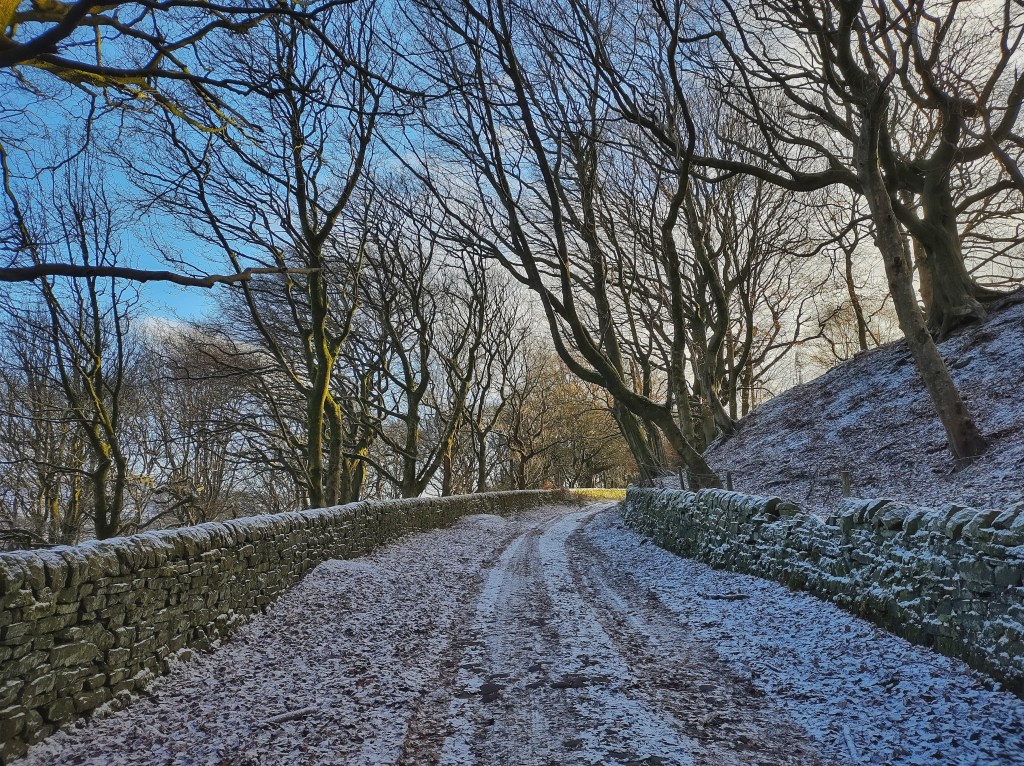
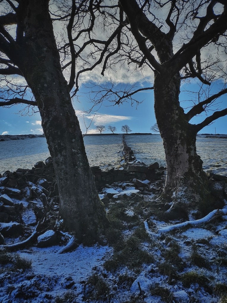
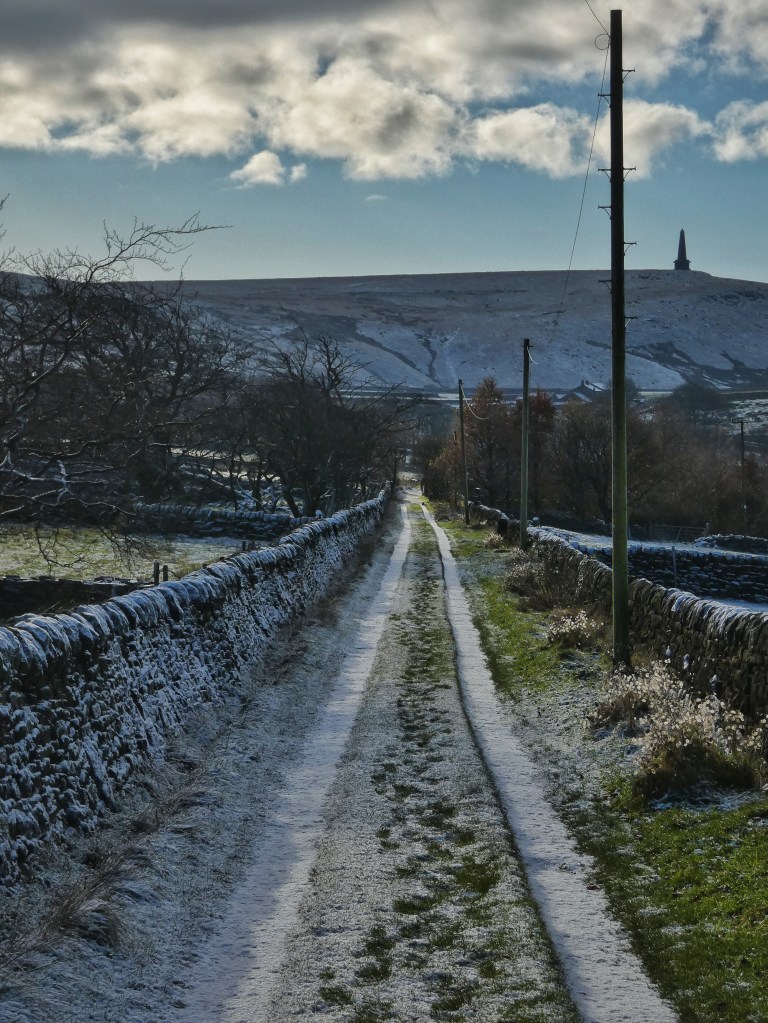
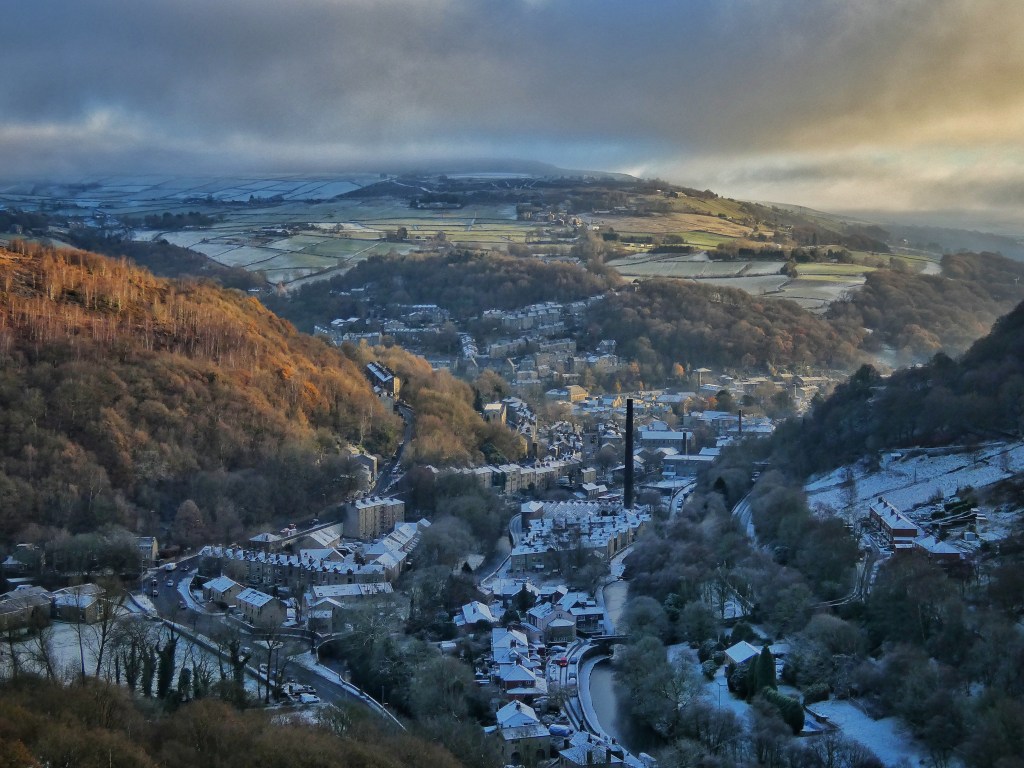
The sounds of the valley float up to the tops: cargo trains rumbling to and fro, the buzz of a chainsaw, screams from the school playgrounds. A tinkle of hidden water comes from under an unnamed, unheralded but impressive pyramidal boulder on Long Lane. Frequented by very few, this long-forsaken way through the fields below Pinnacle Lane is choked with rushes, and a hawthorn, a holly and a birch cast a tracery of stretched shadows onto its neighbouring field. Below the lane, the hiss of the clough stream is the only other whisper in the landscape, until the bass drumroll of Ann’s quad bike and her hollers to her two dogs briefly rouses it from its hibernating slumber.
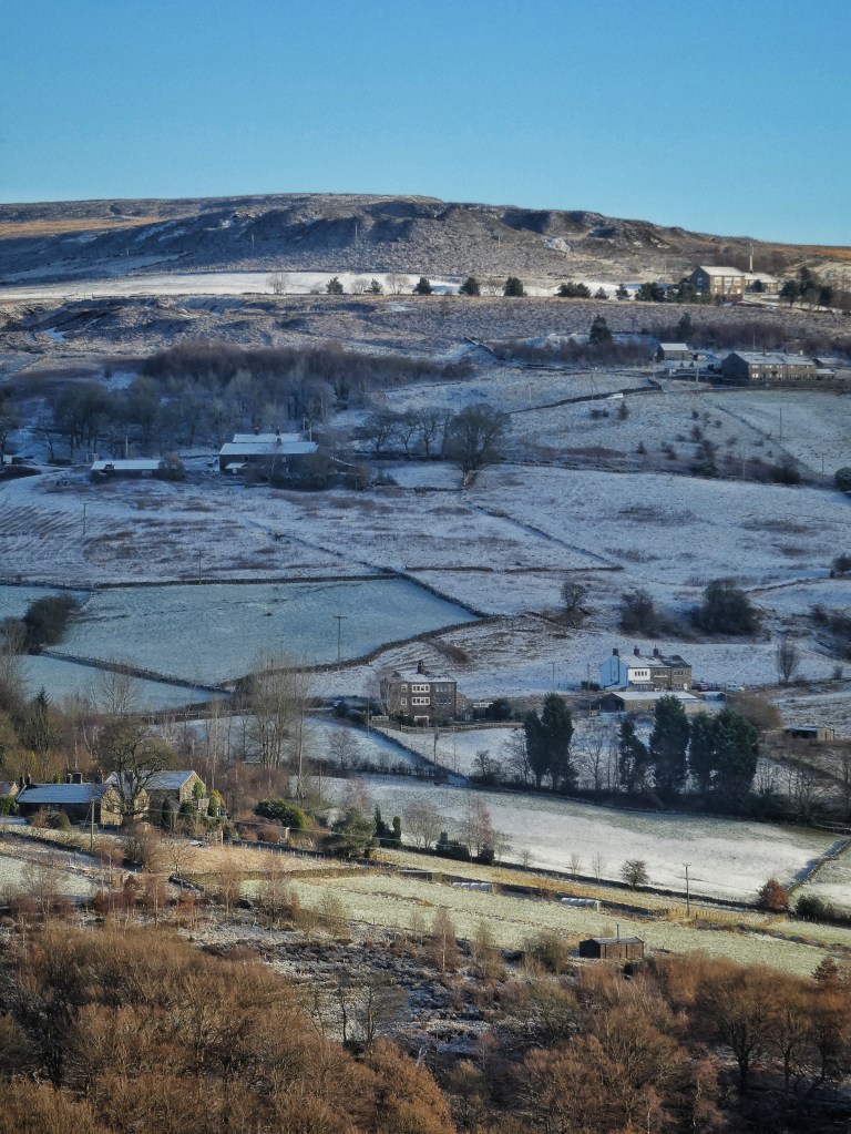
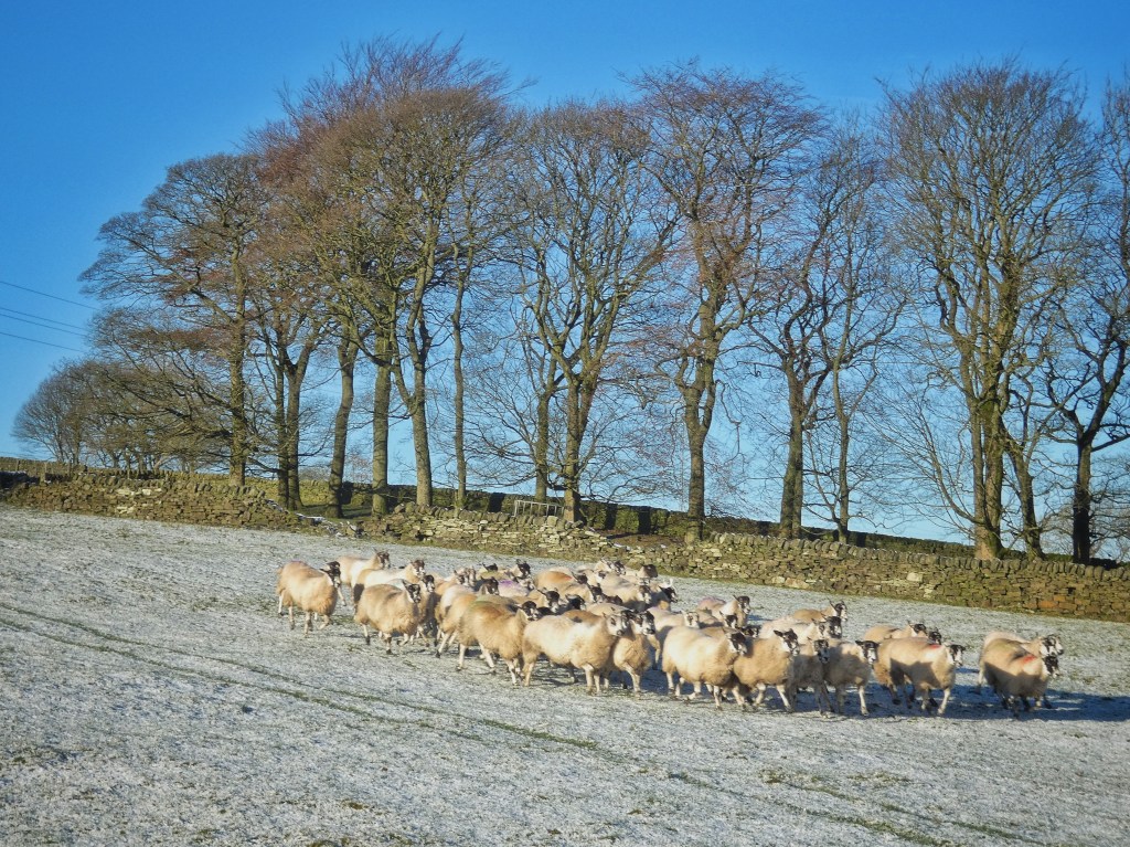
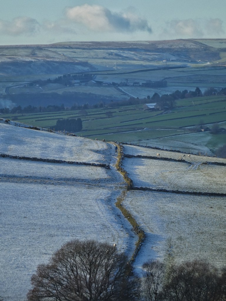
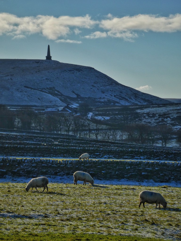
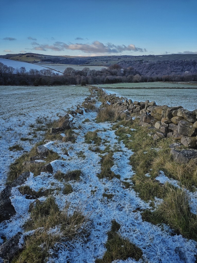
It is tupping season, and time to replace the crayon in the tup’s harness so track can be kept of which ewes have been served when. It is the work of but a few minutes to gather the flock and bring it down to the pen at Old Chamber, where she will also run them through a medicinal foot bath while she has them. To get there, she and her flock cross the line of the Mandike, an Anglo-Saxon border between the townships of Sowerby and Langfield that formed the original boundary of the medieval Erringden Deer Park, before its expansion some time in or before 1385. The 230-yard stretch of surviving ditch that descends steeply from Cock Hill Moor is clearly visible, but what is less evident except in the right conditions is its continuation for a further 130 yards through the fields between Jumps Lane and the top of Spencer Lane. But today, the presence of this shallow, subtle depression that runs adjacent to a dry stone wall is betrayed by the sun, which by mid-morning has warmed the gentle contours of the ancient boundary’s south-east-facing slope, melting the veneer of snow and revealing the course of the ancient ditch with a line of green grass.
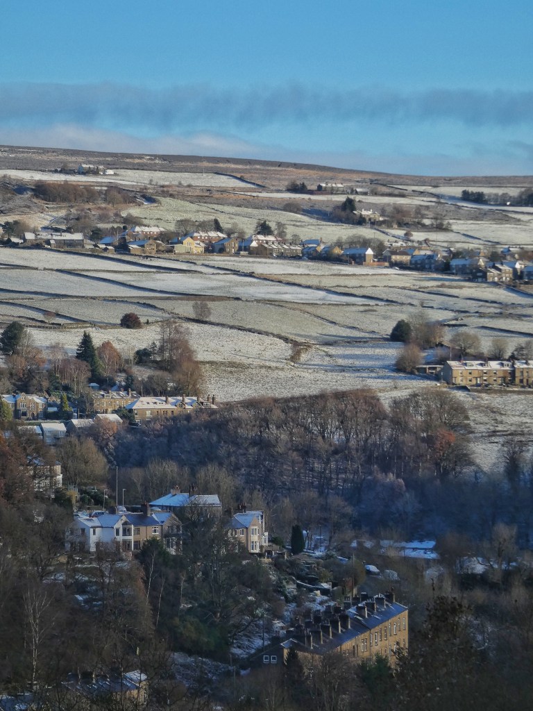
That much of the Mandike is lost makes the fact that at least some of its imprint is held in the land’s memory seven centuries on all the more remarkable. It should make current generations wonder which of its marks will still be visible so far beyond the near time horizons that typically block our view of the far future. One such mark might be the attenuation ponds which are being dug across the borough with funds from the council’s natural flood management programme. Around the hillside from the Mandike, the most recent have just been finished, with a 2000m³-capacity pond being dug in Ann’s camping field, and an area of old gravel pits previously known as Delf Close being re-profiled into a string of three ponds, both of which will mitigate the flow of water down the hillside to the residential area of Fairfield. These are likely just the start of the landscape-scale changes to come, brought about both by our efforts to mitigate and adapt to climate change, and by the unavoidable climatic impacts to which, through our interminable delay in doing what is necessary, we are already committed.
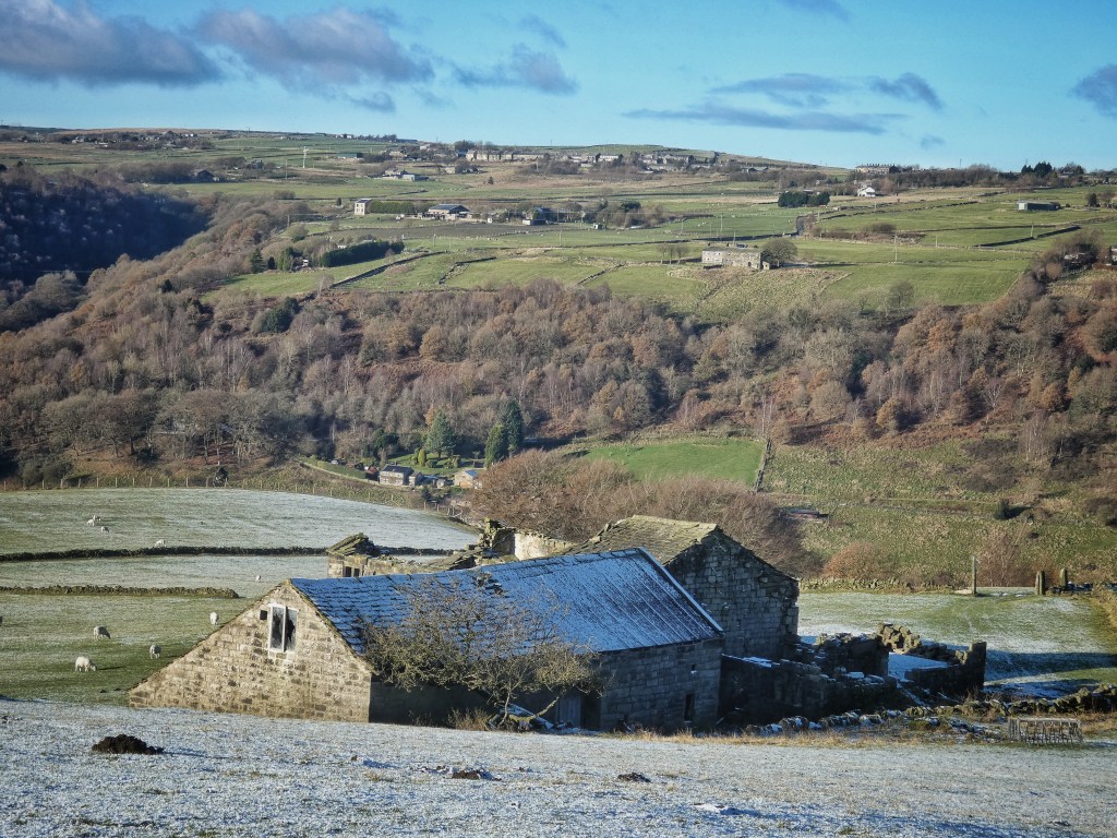
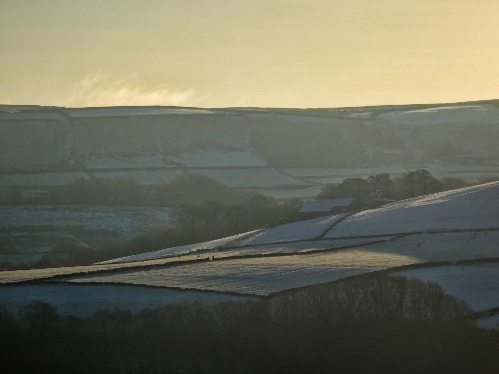
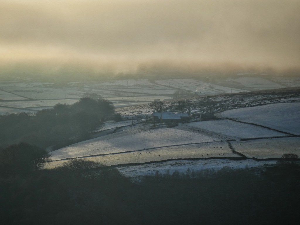
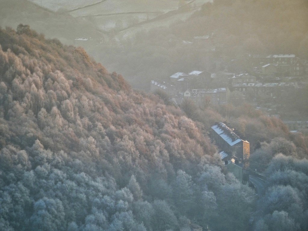
The effects of climate variations, in these cases the microclimates of the landscape’s south- and north-facing aspects and the swings between the nighttime and daytime temperatures, are everywhere. The quagmires of Jumps Lane and Dark Lane across the valley at Lower Rawtonstall have their top layer encased in a frozen crust at dawn, but return by the afternoon to their usual boot-filling states. The north-east-facing side of the walls of Erringden Grange’s enclosures remain rendered with snow through the day, while over on the other side of their coping stones they return to dark gritstone by noon. Even a range of molehills below Cruttonstall keep the miniature snow fields on their shadowed north faces, while their southern aspect melts back to rich brown earth. And while some of Peter’s sapling oaks at Turret Brink will hold on to their marcescent leaves throughout the winter, the number that will do so diminishes as soon as the dawn sun strikes them on the morning after the deepest leaf-loosening frost; as if the unfinished business of autumn is ordered to be completed within the hour, they shed their leaves in a rush, dropping them all at once as if caught in the guilty act of smuggling contraband over the seasonal border.


Who is Armytage Rhodes?
LikeLike
I’ve always referred to him as Armytage Rhodes, because I first came across him as such in Nigel Smith’s PhD thesis. But you have written about him as the Reverend James Armitage Rhodes. I have seen it spelt both ways, each in several places. I’d like to know which is correct, if you’re able to point me to a reference.
LikeLike