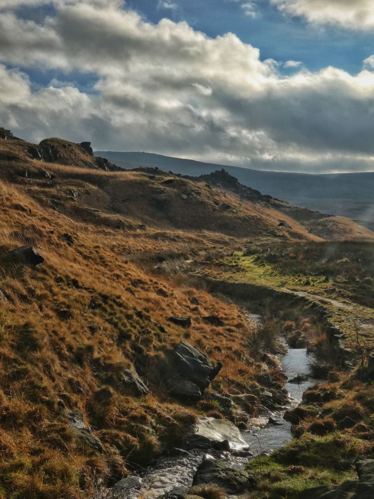
A buzzard pendulums back and forth across the tawny slopes of Chelburn Moor, hovering in the stiff December wind like a kestrel, arching its wings like a red kite, scanning and quartering with purpose, but drawing a blank on anything worth stooping for. This eastern side of the valley is a monolithic wall that rises in a steady, determined lift to Light Hazzles Edge, a contrast to the crumple of cloughs it faces to the west. The old watercourses that used to score its slopes were starved long ago, their lifeblood rerouted, for in common with much of the valley of the Walsden Water, its landscape has been radically altered.
After its flight down Calf Lee Clough, during which it forms the border between Calderdale and Greater Manchester, the Walsden Water makes a northward dash for the best part of three miles to join the River Calder as its first significant tributary. Originally, almost its entire course was within the red rose county, until it entered Todmorden and formed the border between Lancashire and Yorkshire and was then culverted under the grand, boundary-straddling Town Hall to emerge from under the Borough Market, where it completed its final yards definitively in Yorkshire.
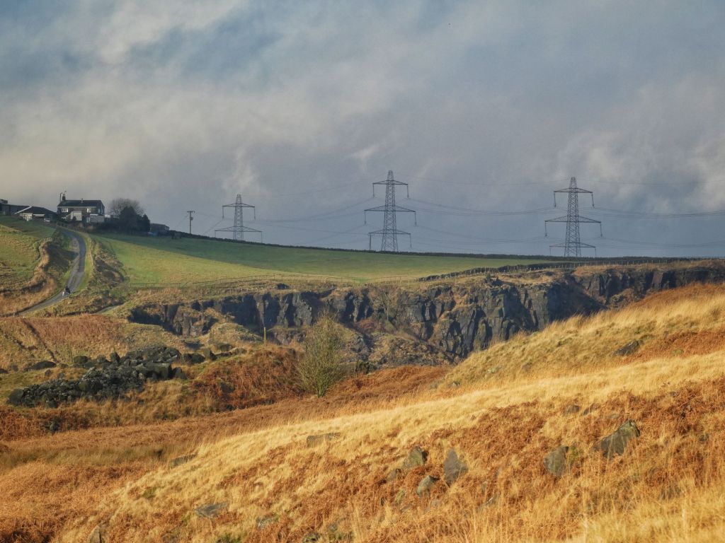
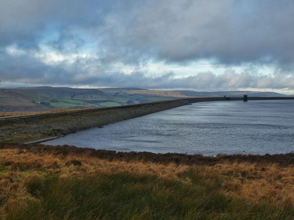
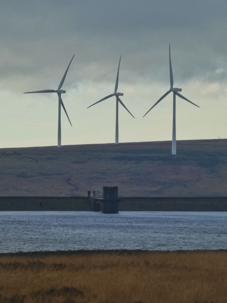
Its valley, which merges over an almost imperceptible pass with that of the River Roch, retains the feeling of a thoroughfare between industrial centres, towered over by turbines that bristled along the moor tops after 2012, crossed by two 400kv transmission lines, between which the scaffolded air shafts of the Summit railway tunnel – the longest in the world when it opened in 1841 – crouch under quarry-bitten crags. Forty years earlier, it had been proposed to complete the first trans-Pennine canal – the Rochdale Canal – through a tunnel of exactly the same length here, but this was decided against, necessitating a greater supply of water to feed the higher number of locks – 56 to Castlefield, 36 to Sowerby Bridge – from one of the highest summit pounds in the country at 600 feet above sea level. Thus it was that some of the earliest substantial reservoirs in the north of England came to be constructed to keep this 1400-yard-long stretch of the canal, feeding the constantly emptying locks in both directions, topped up.
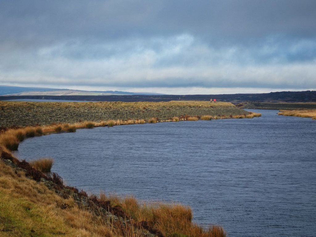
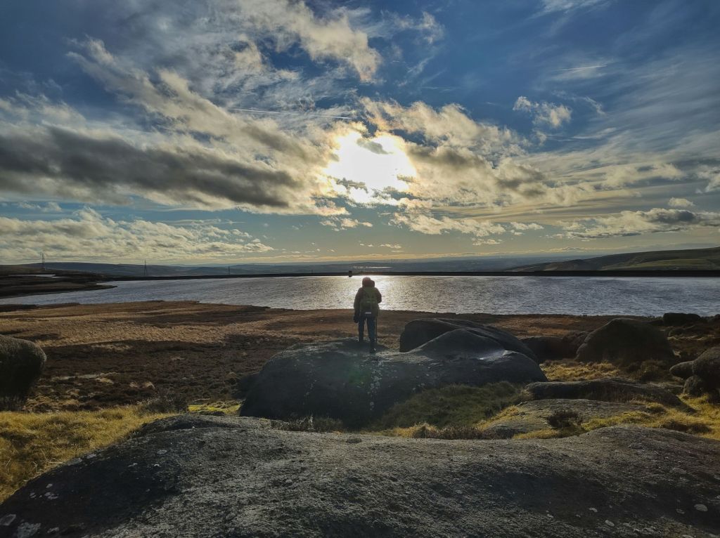
First, Snoddle Hill (later named Higher Chelburn), Lower Chelburn and Blackstone Edge reservoirs were constructed in 1798, the latter fed by six snaking miles of catchwater drains either side of its namesake gritstone-littered ridge. Hollingworth Lake, whose unexpected development into a pleasure resort continues to this day, followed in 1800, and, being lower than the summit pound, its water had to be pumped up to it. White Holme and Light Hazzles followed after 1807. The former is fed by two drains – the extraordinarily circuitous, two-and-three-quarter-mile marvel variously called Black Castle, Cold Laughton and Byron Edge along its tortuous length; and a namesake one-and-a-third-mile drain that intercepts the peaty waters seeping off the southern and eastern slopes of Blake Moor. Light Hazzles originally directly took the waters from the northern slopes of this moor with the curling Warland Drain, but some time after 1828 (and judging by the earliest OS map, started but yet to reach its current size by 1844–47), Warland Reservoir was added and eventually snatched the Warland Drain for itself, and its last stretch into Light Hazzles, called Stony Edge Drain, was cut off. Finally, the original, easternmost Gaddings Dam, drained and dry today, was also added some time before 1833. Apart from Gaddings Dam and Hollingworth Lake, the rest came to form a single system with a flow down from Warland Reservoir into Solomon Cutting to the two Chelburn reservoirs. In 1923, the Rochdale and Oldham Corporation purchased the eight reservoirs for drinking water, and today they are owned by United Utilities for the supply of Greater Manchester, with Hollingworth Lake and Higher Chelburn the remaining (and sometimes insufficient) supply for the canal.
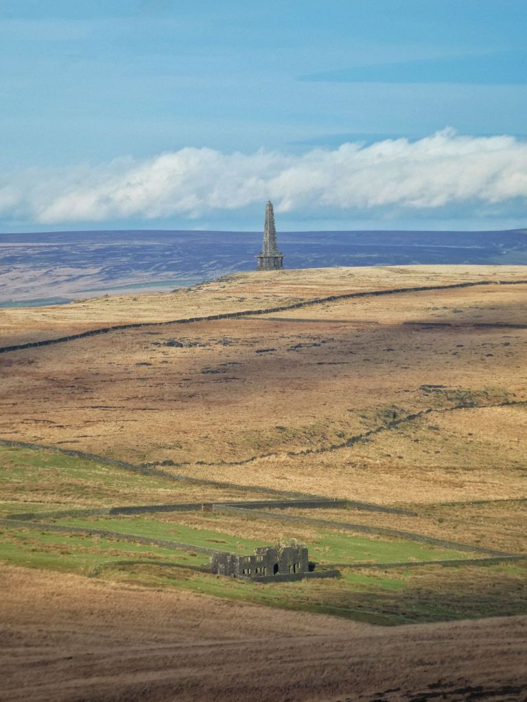
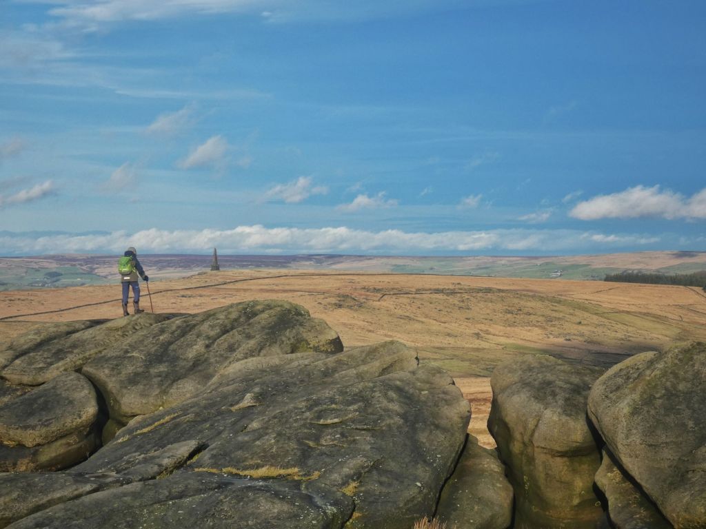
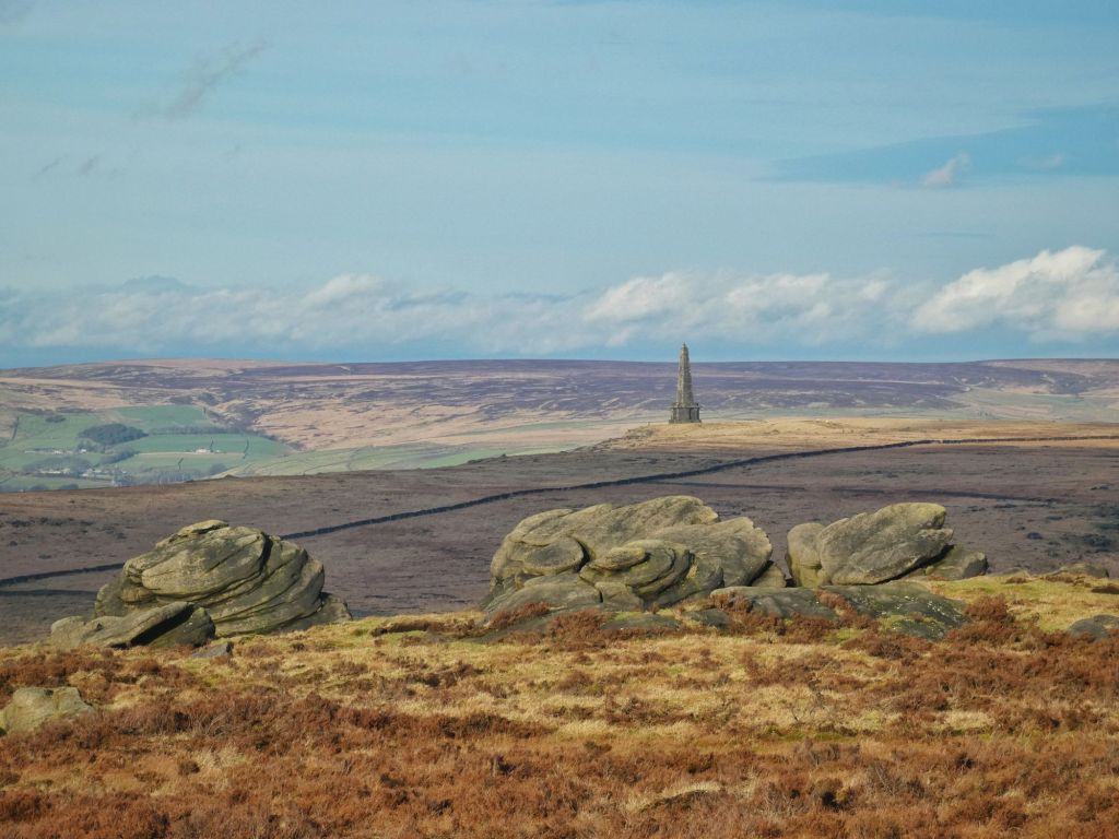
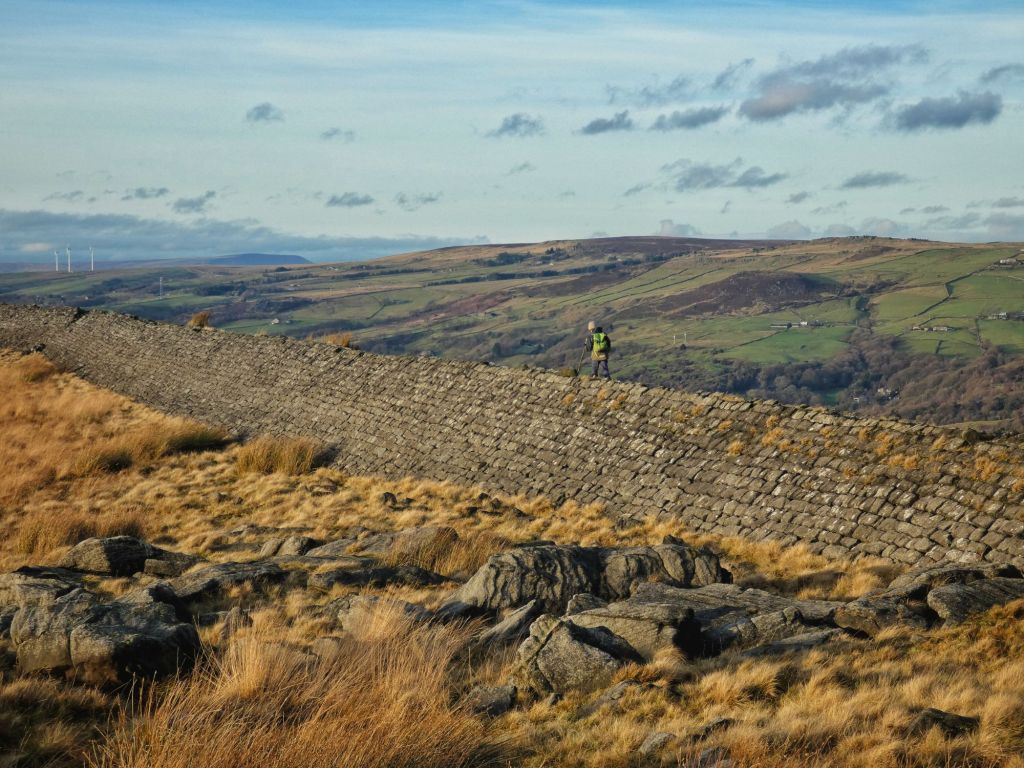
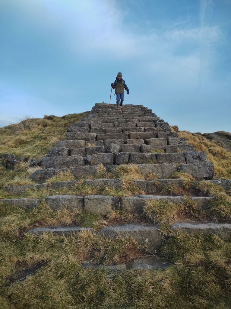
Dog walkers and day trippers stride along the Pennine Way, which crosses the dam walls of Blackstone Edge, Light Hazzles and Warland, with faces covered against the sting of the wind. Far below, beyond the vast white complexes of distribution centres and shopping parks, a glinting golden stream of cars torrents along the M62 towards the towers of Manchester. On the other side of the drain from Blackstone Edge to Light Hazzles, a cliff at Cow’s Mouth Quarry, layered like the finest puff pastry, has been carved with a Simon Armitage poem, Rain. The Rain Stone is one of six Stanza Stones along a 47-mile route from Marsden to Ilkley, the others being Snow, Mist, Dew, Puddle and Beck.
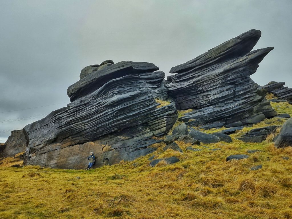
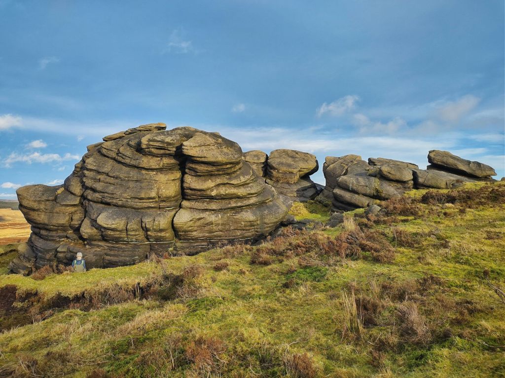
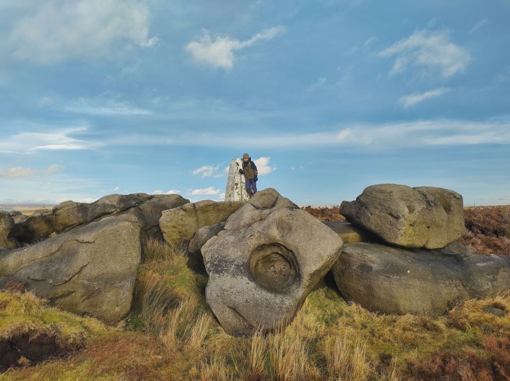
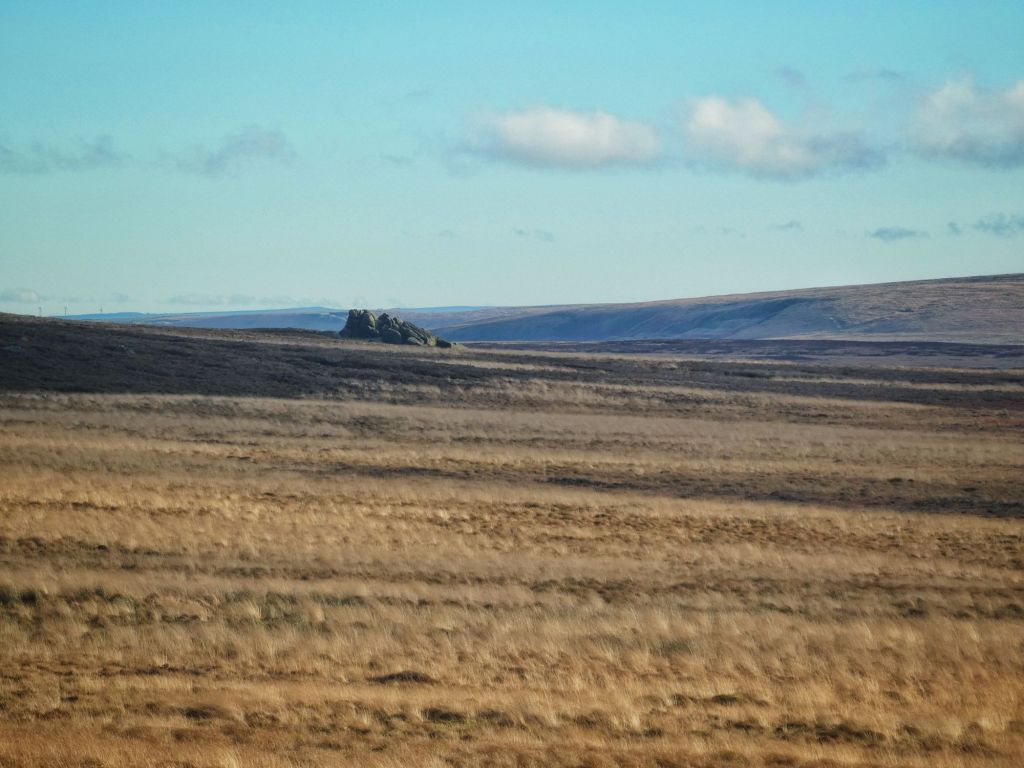
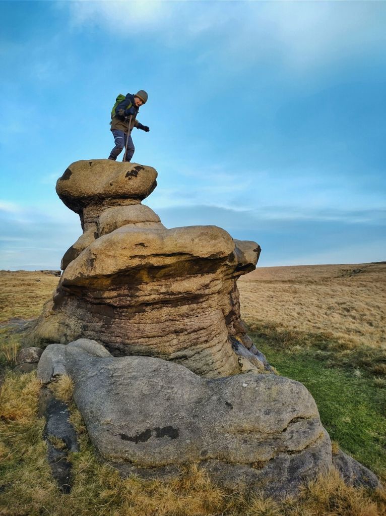
The nearest ‘freshwater tears’ are falling over Pendle Hill, but over the bogs of Blake Moor, the wind buffets against many fine rock outcrops – Dove Lowe Stones is a shattered wedge of boulders, isolated and steadfast like Rockall in its moorland sea, and the Holder Stones, ‘the brunt of the world’, gazing down on the vanished settlement of The Withens, sheep bones scattered at their base, signatures (one ‘David Hartley 1770’, among them) carved on their gritty surface.
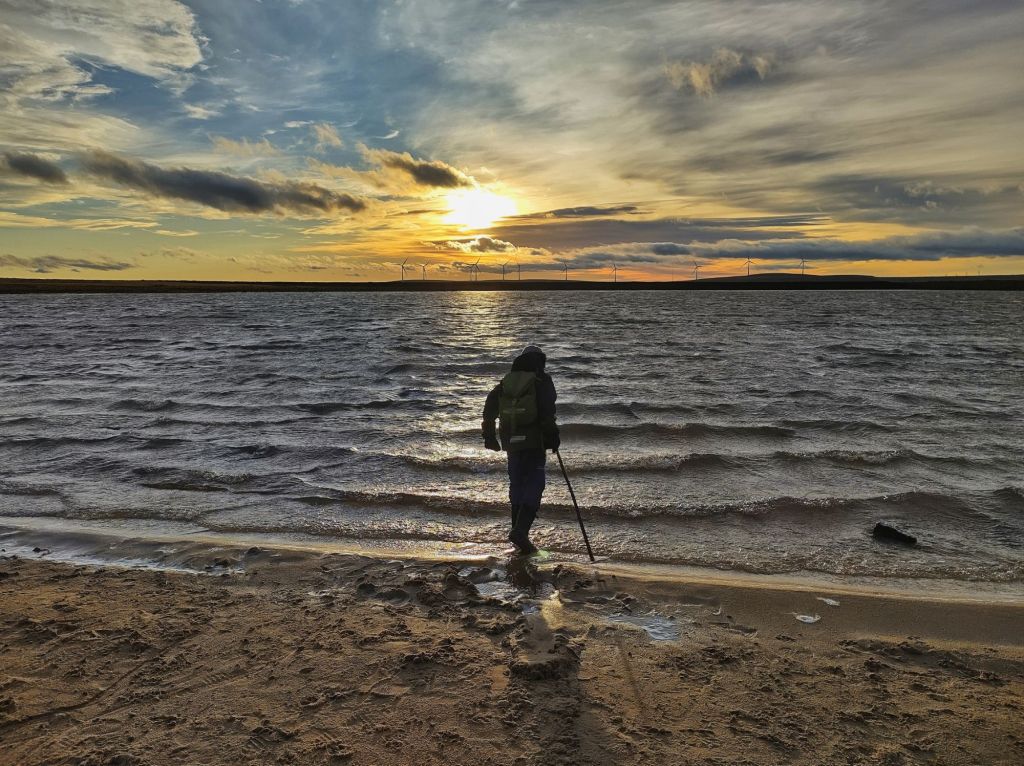
The lowering sun picks out the old embankments of Gaddings Dam East in shadows and glowing grass. At the neighbouring Gaddings Dam West, constructed in 1833 to supply the mills of Lumbutts and now owned by the Gaddings Dam Preservation Society, the last of the day’s swimmers are leaving its beach of weathered gritstone. Waves are driven by the ferocious wind against its north wall, while at its western corner, the occasional downdraughts that make it over the sheltering embankment spin and dance across the calm surface, their racing ripples like those produced by the sudden turns of a shoal of fish desperately escaping the twisting lunges of a leopard seal. The wind-sculpted pulpit of the Basin Stone, where Chartists gathered in 1842 to demand political rights, blackens under a sky that blooms rose-pink; shadows sink as the bloom fades into the beech-shrouded 17th-century Shewbread Quaker graveyard; and the Peak District hills dream away into the southern cerulean distance.


Amazing photographs.
LikeLike
Thank you, Michelle.
LikeLiked by 1 person