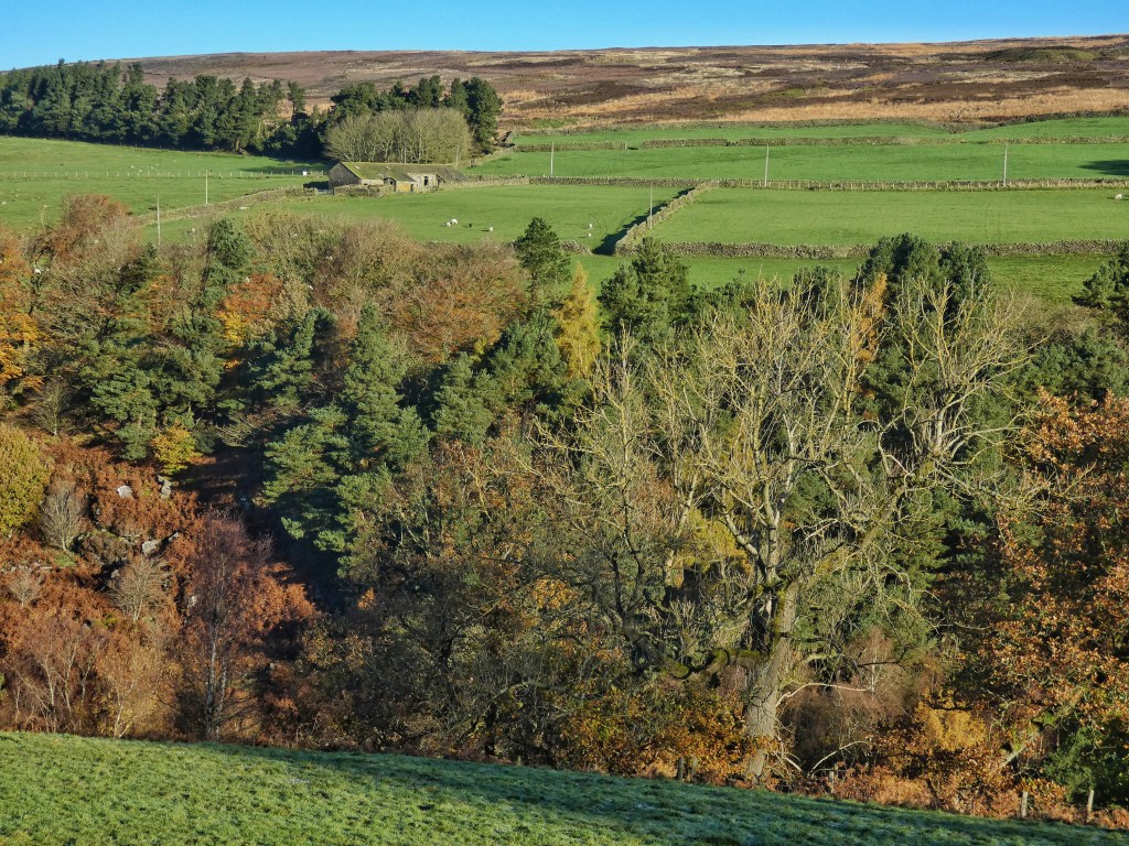
Deep in the frosty morning shadows within Blake Dean lie the footings of the remarkable 700-foot-long, 108-foot-high wooden trestle bridge that carried a temporary railway from near Heptonstall to Walshaw Dean, where Enoch Tempest’s navvies spent seven years constructing three new reservoirs for the Halifax Corporation. It will be hours yet before the southern side of the chasm the bridge spanned is released from the night, but on the northern side the bronze bracken flames in the sun. The conflagration climbs until it abruptly stops at the terrace which carried the railway on into Alcomden. This is the name given to the lower reaches of Walshaw Dean, a wide clough that cuts three and a half miles into the moor, and which was identified by the Halifax Corporation as the site of its next reservoirs after the construction of Widdop in the 1870s.
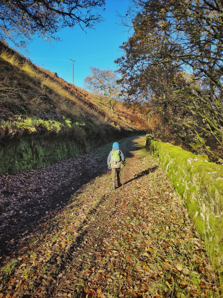
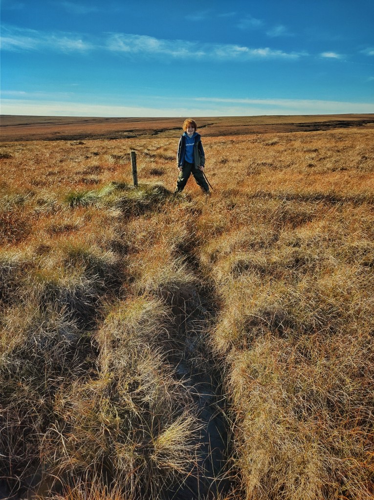
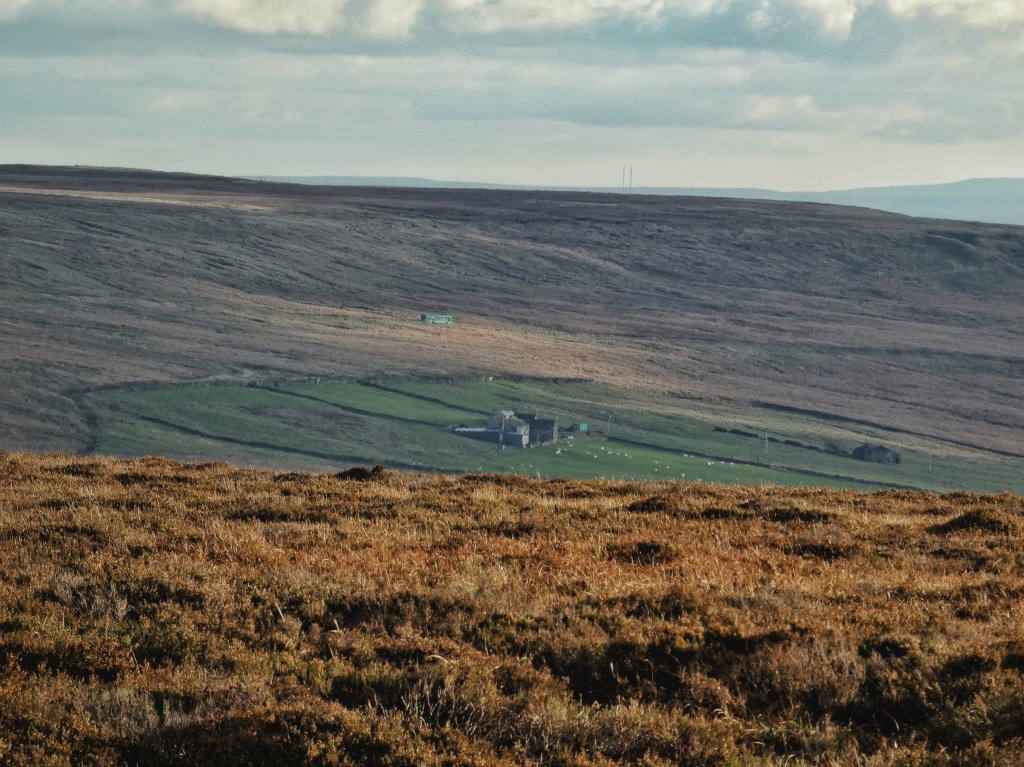
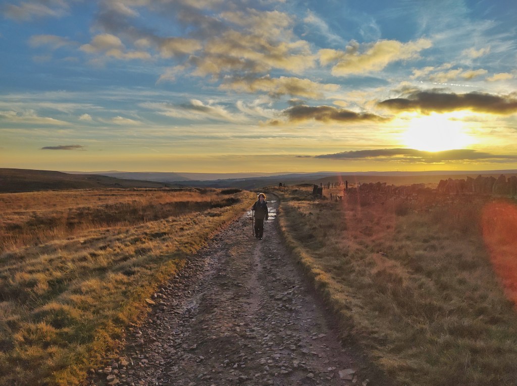
The little community of farms that made the valley their home lived for 30 years with the uncertainty of not knowing when it would be transformed, until in September 1900, a crowd of 800 onlookers arrived to watch the Mayor ceremonially cut the first sod. In whose field it was cut, and how they felt about it, is not recorded, but Higher Baitings, Lower Baitings, Alcomden, Holme Top and New House are all gone today, with only Holme Ends having recently been brought back to life as a keeper’s house. From 1820, these remote farms were spiritually served by Blake Dean Baptist Chapel. The chapel was empty at the end of the 1950s and demolished at the beginning of the 1970s, but beside its graveyard, the little terrace of cottages is still used by the scouts as a hostel. Today, a group of teenagers are turfing themselves out from its toasty interior into the cold air for a 12-mile hike.
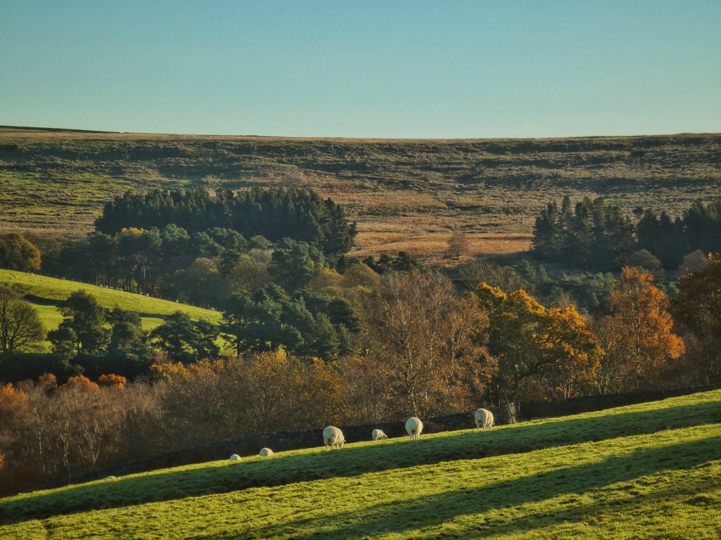
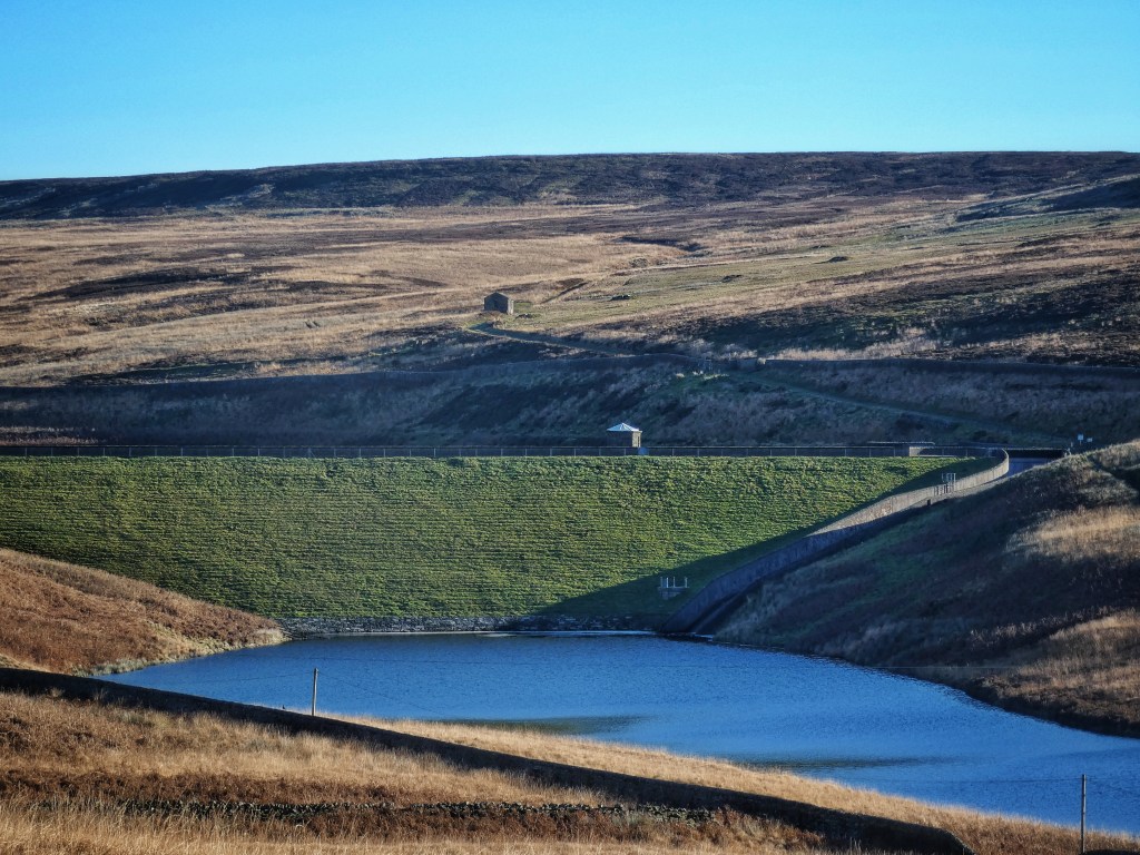
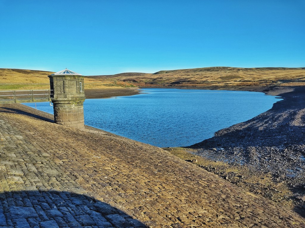
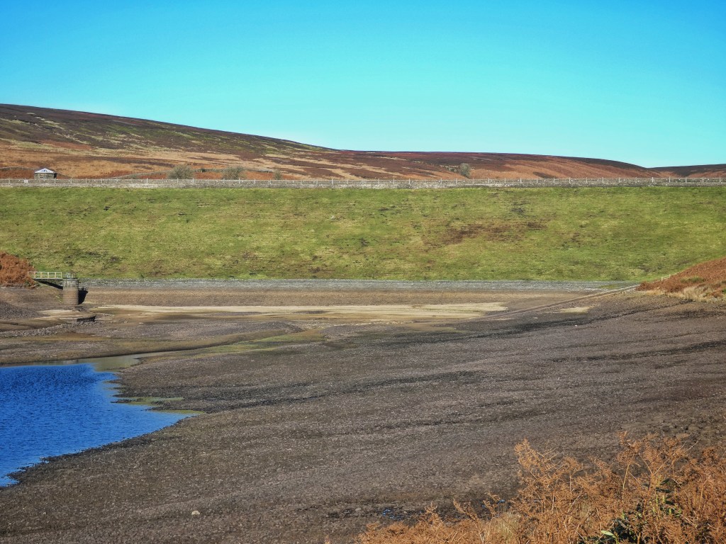
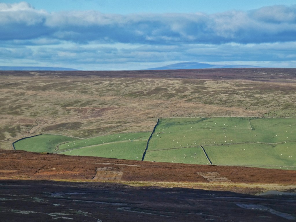
But things could be worse for them; the sky is improbably blue, the waters of the reservoirs impossibly so. The Lower and Upper reservoirs are, given the fulsome volumes of rain the summer and autumn have offered, unsurprisingly full to their spillway brims, so the almost-emptiness of the Middle reservoir – exposing acres of its stone lining, and a Bronze Age stone circle first discovered by the engineers of the reservoir in 1902, and subsequently submerged by its waters – must be accounted for either by maintenance works or by Yorkshire Water’s scheme to reserve storage capacity in the event of a flood-worthy rain event. If the latter, this should provide some comfort to valley-dwellers who have been calling for such measures for years, and are aware of how saturated the moors already are even before winter has begun. If the former, Enoch Tempest knew only too well the problems that the geological fault under the Middle reservoir could cause; leaks were discovered within a month of the pomp of the formal opening ceremony in 1907, attended by ‘gold chain bedecked Mayors,…ladies in bright costumes, the city fathers in silk hats and dress coats’. Tempest did his best to make things good, but he died the following year, and remedial work was not to be declared finished until 1915.
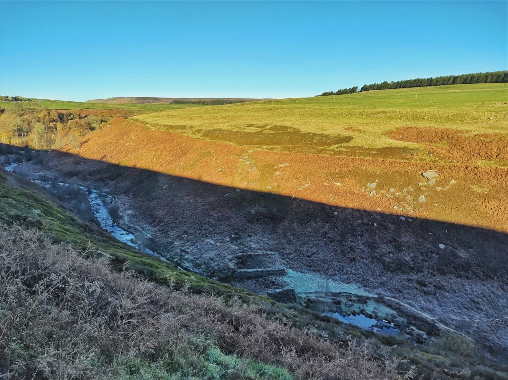
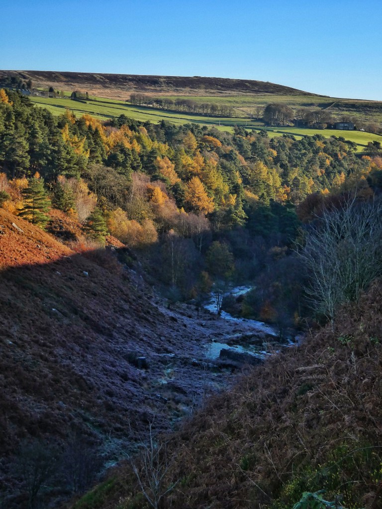
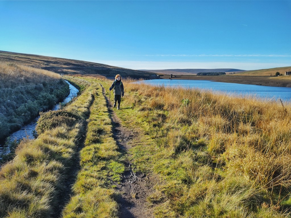
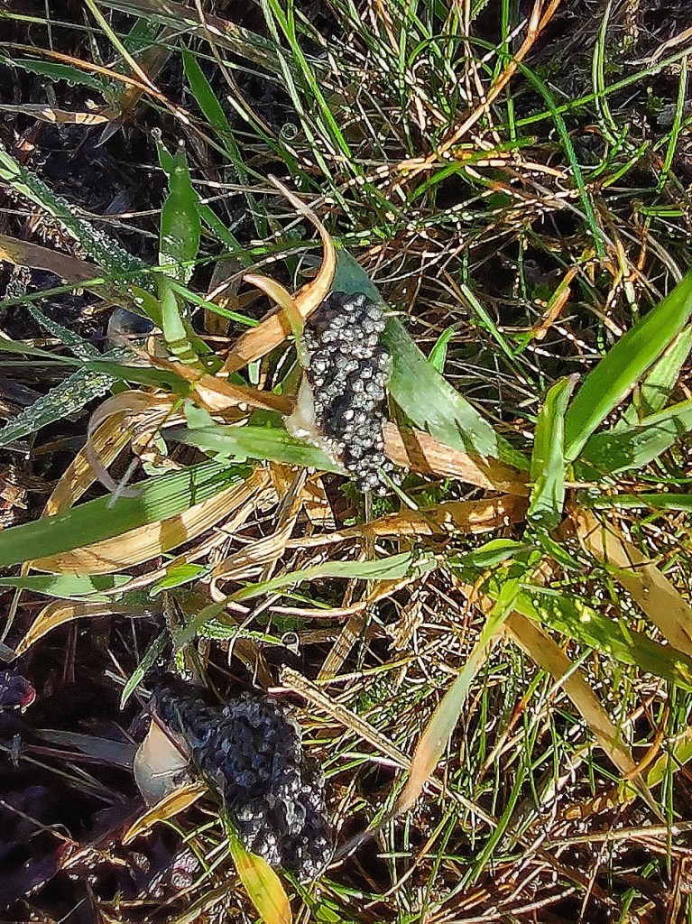
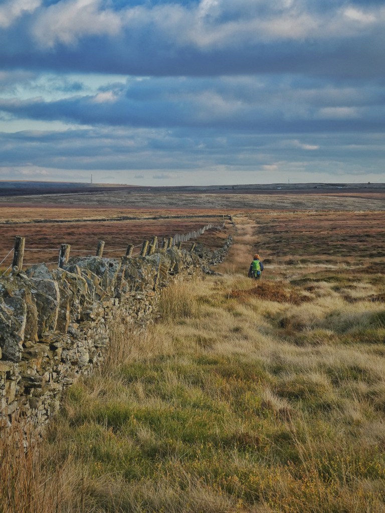
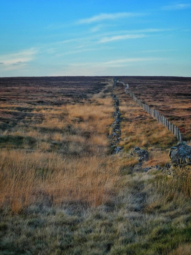
It is now only beyond where the unsuspecting Walshaw Dean Water is first ensnared at the head of the Upper reservoir that the original character of the valley remains. Here, the stream has cut a narrow clough in the wide moors, with a curiously mown path navigating the boulders and bracken of its slopes. On this path, no doubt kept clear for the benefit of the shooters for whom the moor is managed, a dozen gelatinous clods of star jelly gleam translucently in the low sun. This substance was long a mystery to naturalists, accruing all manner of mythic associations and speculative explanations. There is a consensus now that it is the result of frog and toad predation, but that this took some time to develop is understandable; since it becomes translucent and is free of the little black eggs (which are only coated in the jelly as they leave the oviduct) it does not look very much like familiar frog spawn. But this particular specimen does have the clues that others often lack; a little shred of amphibious gristle among the jelly, and a caviar smear of eggs – which develop in the autumn for next spring’s mating season – on the grass nearby. But mysteries do still remain; it is unclear whether the jelly is discarded by predators as they dismember their prey, is stimulated by trauma to be released by the oviducts, or is eaten and subsequently regurgitated. Foxes, mink and herons are all fingered as likely culprits, depending on the locality, but the pair of buzzards that drift north into the moor’s fastnesses are prime suspects to be called in for questioning.
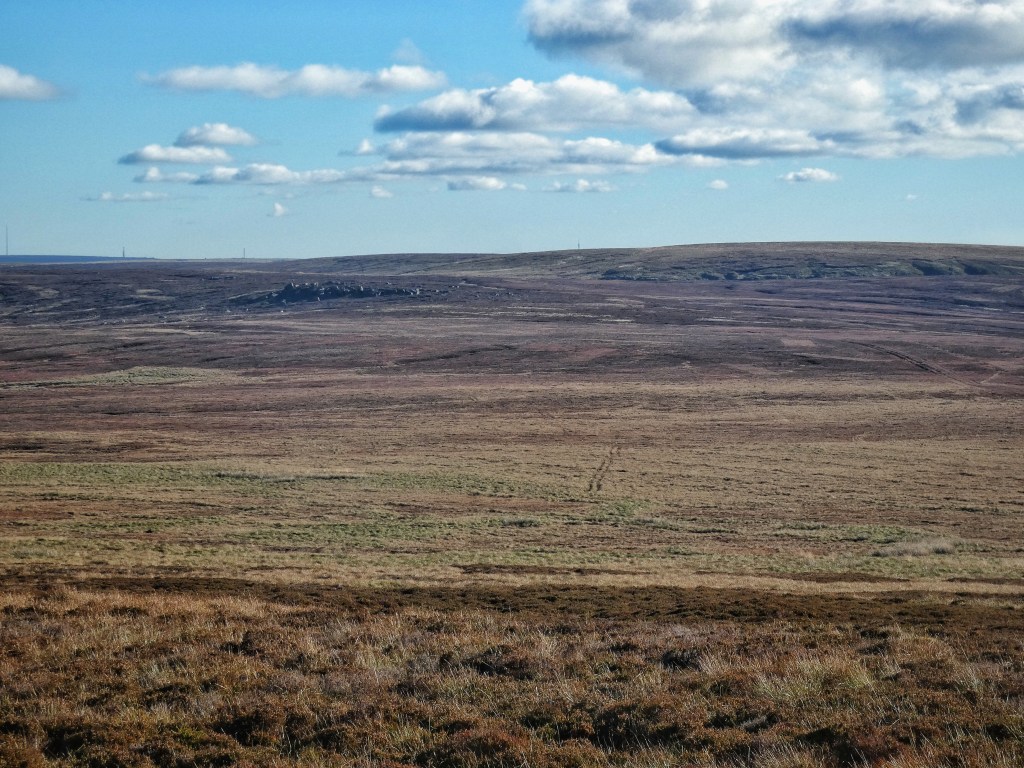
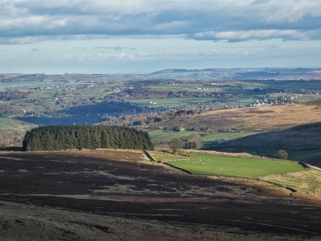
The mown path gives out as the clough becomes just a shallow crease in the moor’s expanse, and a line of plastic pipes periscope up through the heather, acting as a trail of breadcrumbs leading uncertainly to the summit of Crow Hill. Horizons pile down the Pennine spine into the bright south. To the east, beyond Bradford and Leeds, forty-four-mile-distant Drax Power Station belches Louisiana forests into the clear sky; to the north, the dark whaleback of Penyghent dives into the Dales; and across Morecambe Bay to the north-west, the Wasdale and Langdale fells crowd under a cloud bank.
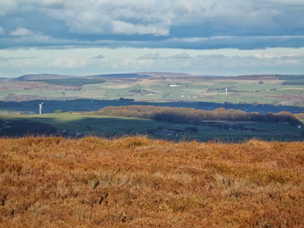
These extraordinary views are only possible from such an elevated and exposed location, which also make it ideal for a wind farm. The communities that live under the moor have been coming to terms over the past few months with the new proposal for England’s largest wind farm to be sited here – 65 turbines, each up to 200m tall, connected by over 20 miles of tracks – which will cover the entirety of the Walshaw Estate, from Widdop and Dove Stones in the west, to Crimsworth Dean in the east, from Withins Height in the north to the Packhorse Inn and Shackleton Knoll in the south. Just as the moor was looked to in the 19th and early 20th centuries when there was an urgent need for clean water, so it is with clean energy in our own time.
There is much still to understand about the proposal’s potential impact, including how the moor will be managed and if it will continue to be keepered if driven grouse shooting is to end, and perhaps most fundamentally the extent to which the inevitable release of carbon stored in the peat of the moor’s blanket bog will compromise the emissions savings of its projected 300MW generating capacity. The public debate to come once the full planning application is submitted next year will involve the breadth of relevant issues: ecology and wildlife, visual impact and aesthetics, noise and flooding, traffic and tourism, geopolitical energy security and local fuel poverty, natural and cultural heritage. It is set to be a fascinating and contentious test case of the sacrifices and compromises society is willing to make to a range of environmental and other values in the service of meeting net zero commitments, and whether the radical transformations that will be necessary can be carried out in a way that continues to command public support.
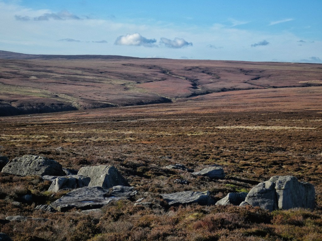
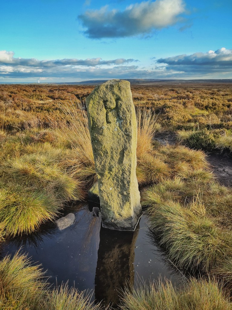
Despite the apparent blankness of the moor, the old maps are anything but, bestowing names on its every peaty hollow and hag and dike – Jackson’s Ridge Flat, Old Wicken Clough, The Grough of Crow Hill, Black Sike, Stanbury Bog. And despite the openness, this is a place of boundaries, marked by discreet ditches and occasional boundary stones teetering into the mires, boundaries between the red rose and white rose counties running north-east–south-west, and the old parish of Halifax and the Keighley Corporation, running north-west–south-east. The natural boundary between the watersheds of the Calder and the Aire respects neither of these, transgressing both. Across the quaking morass of Red Mires Flat, the Alcomden Stones are graced by graffiti – ‘LM 1884’ – that has acquired the acceptability conferred by the passage of time. More recent and macabre, a predator has chosen here to mutilate a mole, stretching its entrails out fully a metre across the flat-topped rocking stone perched on two supporting boulders that fanciful antiquarians liked to call a cromlech, a Druidic altar stone. The poor mole, miles from where it belongs, was certainly sacrificed for something against its will, but there is no reason to believe either the rock’s position or the mole’s demise is anything other than natural.
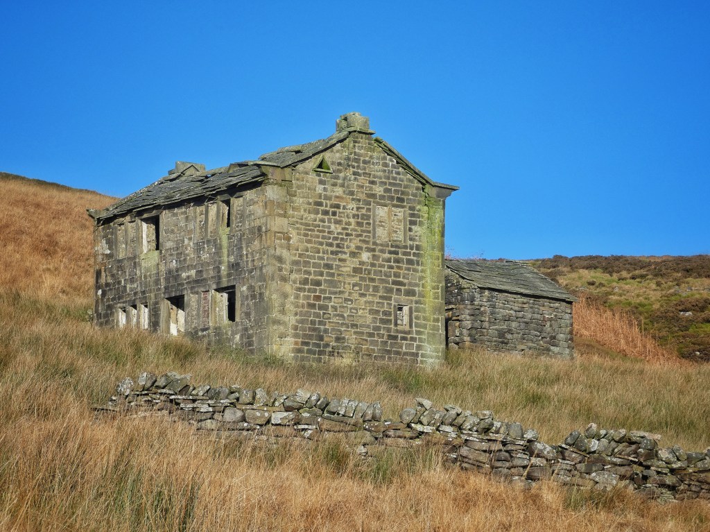
Just below the shallow pass between Withins Height and Dick Delf Hill, at 1479 feet, the limit hereabouts for cultivation, are the topmost tumbledown walls of the nine fields that once belonged to Top Withins. For perhaps four centuries, from at least the 1560s until its abandonment in 1926, these 20 acres supported a succession of families, generations of Bentleys and Crabtrees, Feathers and Greenwoods, Sunderlands and Kershaws, all long forgotten. Then after the last of them had left, their decaying home secured its place in history on the basis of a tenuous claim to be an inspiration for the eponymous farmhouse in Wuthering Heights, drawing an unending stream of the Brontë faithful on their pilgrimage. But elsewhere, the moor is empty as evening draws in. Under Oxenhope Stoop Hill, the conduit to Thornton Moor Reservoir begins its four-and-a-half-mile journey. It cuts just under Stairs Hole, a ruined farmhouse as forsaken as Top Withins is celebrated. While the latter’s decay has been arrested, the stones of Stairs Hole have fallen where they may for the same century, and no one hears the dripping in its vaulted cellar. The whistle of the engine pulling into Oxenhope Station on the Keighley and Worth Valley Railway echoes against the moors, its steam as blue in the twilight as that of the woodsmoke that now begins rising from the chimney at the Waggon and Horses.


A map of your walk routes would be really great to see. Amazing that you can see so far. I assume it was last Saturday, which was a glorious day.
LikeLike
Thanks for the suggestion, Stella. I have been considering making some sort of cartographical index for the past year’s posts, which will either take the form of pins in a map, or paths walked, or perhaps both. I’ll see what works. Not many of our walks would work as routes that would fit well in a guidebook though, as they are often rather exploratory and meandering!
It was indeed last Saturday. All this year’s posts have been written about the week prior to their publication.
LikeLike
Making the most of a lovely day and the photos reflect this.
LikeLike
It really was stunning. We were very lucky to catch it, in amongst all this dreich.
LikeLike
An amazing clear day. I’d no idea such far away places are occasionally visible.
LikeLike
There was exceptional visibility that day. I consider it a good day when you can see Penyghent from up there, but the Lakes are well over twice as far away.
LikeLike
Wonderful writing and photography. I live in Enoch Tempest’s old house in Marple!
LikeLike
Thank you, Adam. How marvellous you live in the great man’s house. I take it you have read City in the Hills: Dawson City and the Building of thr Walshaw Dean Reservoirs by Corinne McDonald and Ann Kilbey. Do you know of any other books that detail his life and works?
LikeLike
What inspiring descriptions and photos of the wonderful moors of the South Pennines
LikeLike
Thank you, Mary.
LikeLike