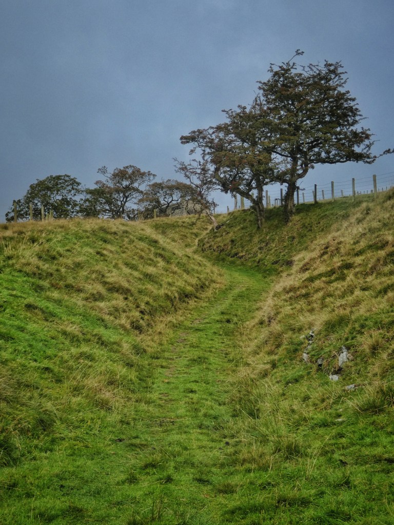
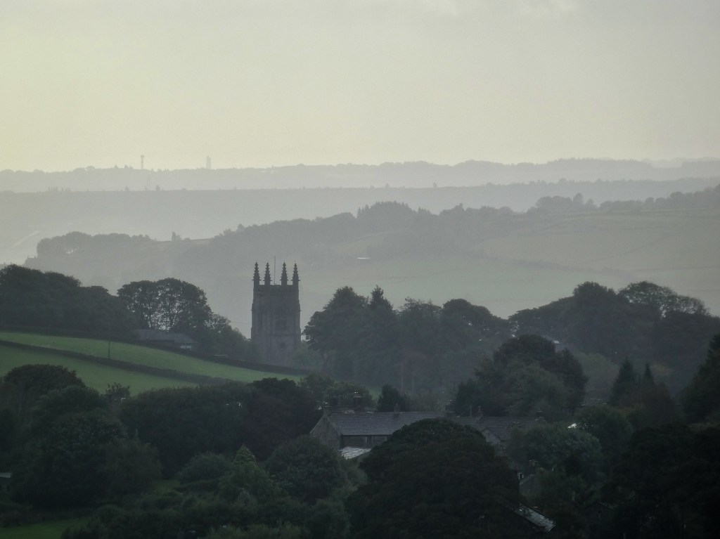
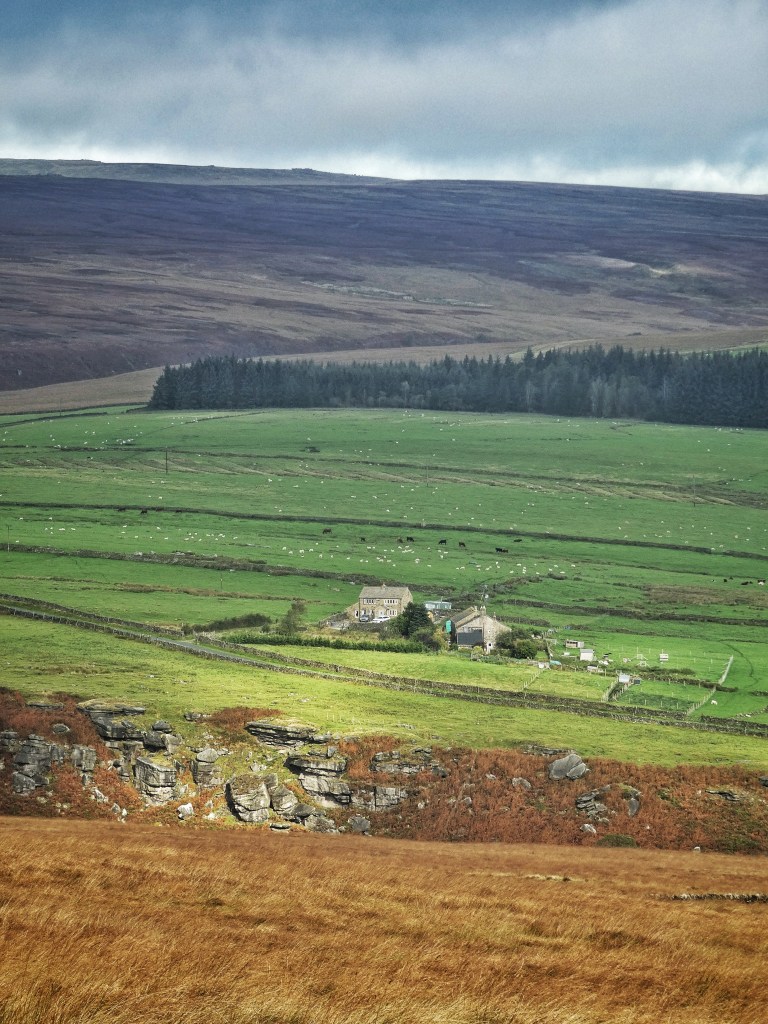
Along the Widdop Road from Slack, past Stoneshey Gate, embowered by sycamores and from where Gamaliel Sutcliffe planned his mills for Colden Clough; beyond the cloistered grandeur of Greenwood Lee, which Abraham Gibson bought in 1762 in a drunken stupor, and from which his son moved his spinning equipment to Lord Holme (now Gibson) Mill, and from which four generations later their namesake descendent offered their valley and its woodlands to the National Trust; up between blasted hawthorns and still-flowering bell heather on its banks, an old sunken track climbs to Clough Head. This farmhouse, with sheep grazing outside its front and cattle on top of its cellar to the rear, high and hard against the waste at its back, glanced at but never visited by Pennine Way walkers that pass nearby, is more or less unique among the 110 that are no longer inhabited in the five ancient townships of West Yorkshire’s Upper Calder Valley, for the rest have either been swept away and lost entirely to memory, or are in varying states of mouldering ruin. But this one, despite having been empty since at least the late-1950s (there is no evidence of it having ever been connected to the electricity network), has been made good. Its ridge tiles are pointed, its doors and windows tightly boarded, its gable ends are straight and true. It awaits not wholesale rescue like the rest, but simply tethering to the modern world with the wires that were thrown into these dark fastnesses long ago but that it somehow could not grasp. For now, it lifts its gaze proudly above its clough and past Heptonstall church to the gleaming plains beyond the valley, but a quiet, mournful sigh is caught on the wind that finds a gap between the boards and the arch of its barn door.
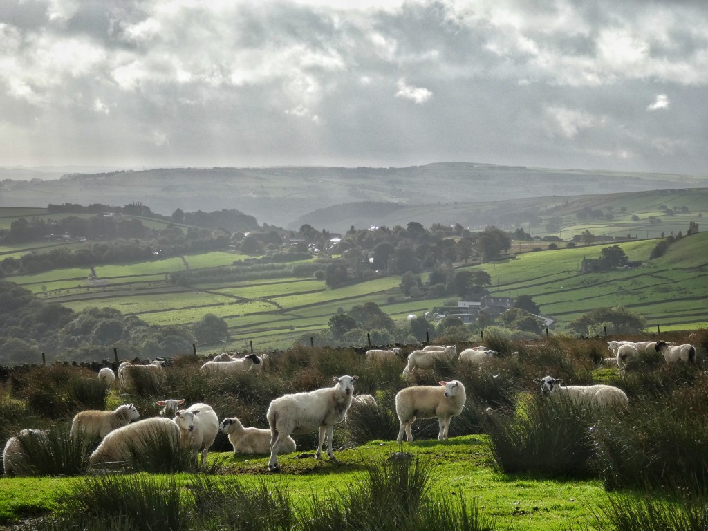
Sheep crowd on the moor behind, three carcasses rotting against the wall. Another track joins the moor here, angling up from Boothroyd Farm (once called Dick Booth). A century ago one of the biggest movie stars of her day, Alma Taylor, draped herself and her wild hair over its tumbled walls, playing the eponymous Helen of Four Gates in director Cecil Hepworth’s silent melodrama. It was a dull day on which they shot, with none of the strong spotlights of today’s sun, but the landscape is otherwise largely unchanged.
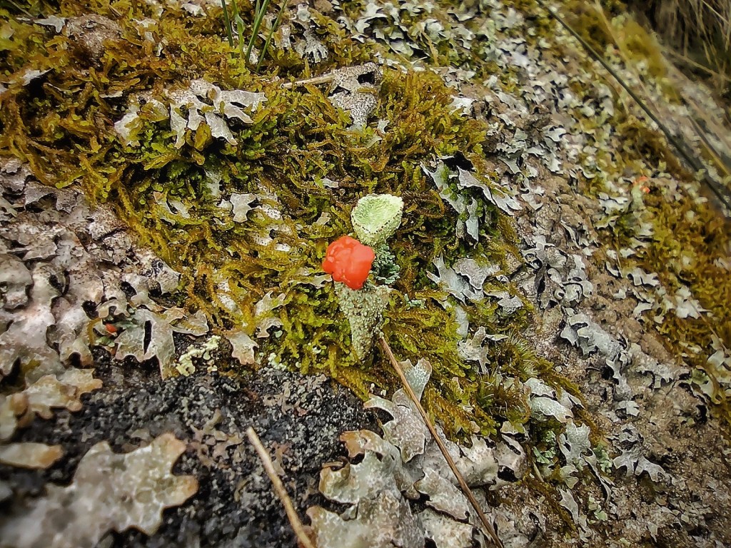
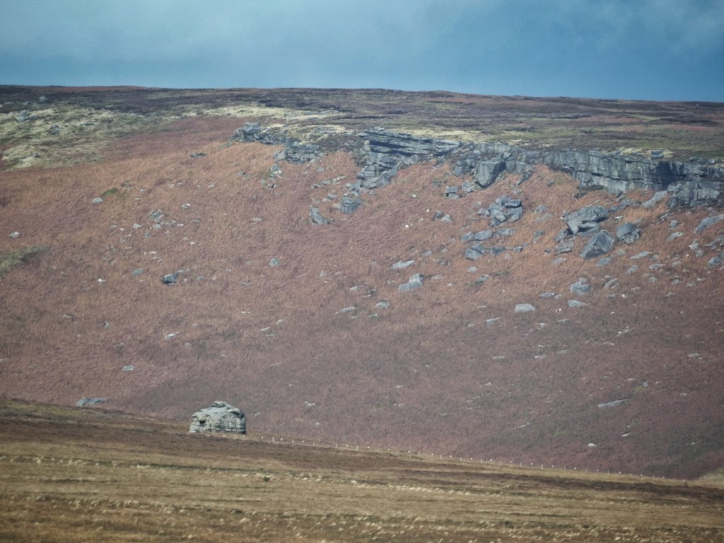
The broad shoulder of the moor, created by the Hebden Water’s abrupt turn from eastward- to southward-flowing, is known as Coppy. As Christopher Goddard ruefully observes, it is ‘one of those chunks of access land I sense will never be trodden – there is no access point and the ground is nought but rough tussocks’. The Molinia grasses are indeed rough, although seemingly not very mature and so not terribly tall. They do, however, exclude almost all other plant diversity, as this species is wont to do if it is left ungrazed, only a few sprigs of cross-leaved heath hanging on in between. There is a ladder trap (a wooden and wire mesh cage in which a ‘decoy’ crow or magpie is placed to attract other corvids, which are themselves trapped once funnelled down into the cage) against one edge; an almost imperceptible maze of subtle streamlets; an indiscernible track (visible on Lidar) to a modest sandstone quarry now almost entirely healed over apart from three exposed stones sporting British soldiers lichens, the grass on its banks a little greener and studded with a few tormentil flowers; and somehow a few sheep have found their way in, marooning themselves on the one island of palatable grass among the inhospitably choppy ocean of tussocks. There can be few other 100-acre patches in the region as devoid of features, and consequently as little trodden.
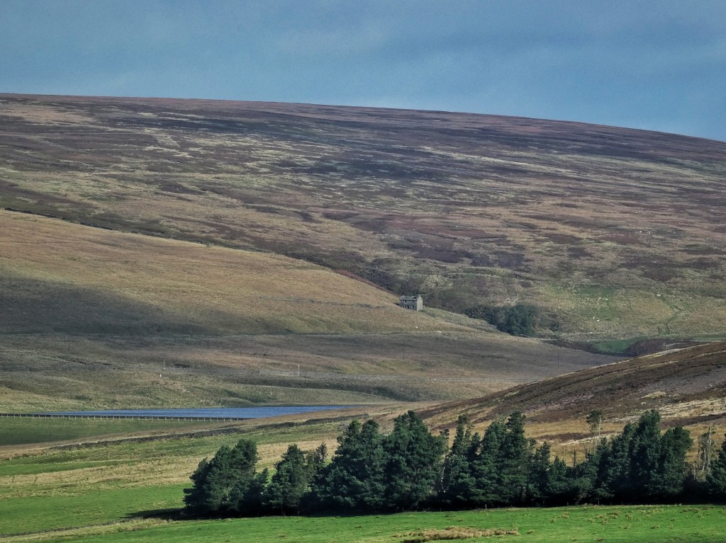
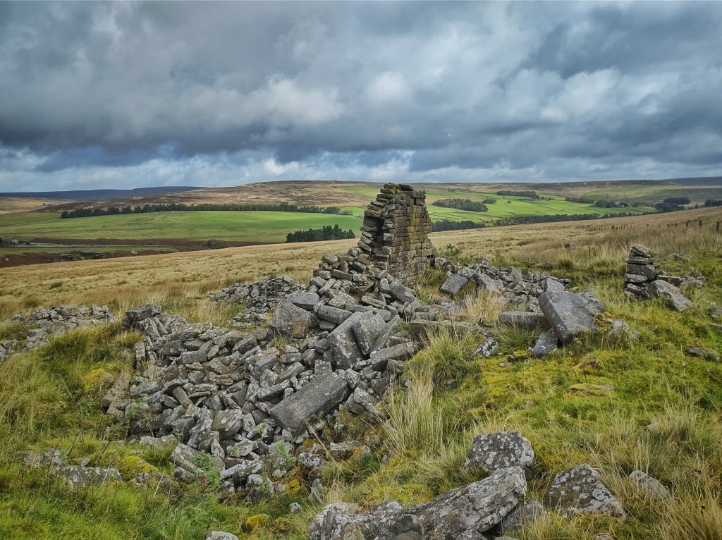
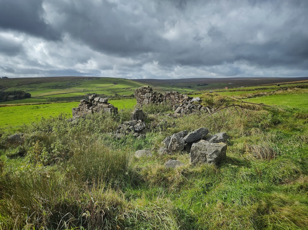
A birthmark of bracken has spread beside it at Ox Holes, where a stream cuts down a seemingly natural little ravine with a sickened rowan that has mustered but four berries this year. But suddenly the gully becomes lined with concrete to funnel it with all possible haste to the start of the drain to Gorple Lower Reservoir, and a mysterious pot pipe protrudes from the moor beside it, its only possible origin being quarter-mile-distant King Common, whose stump of a gable end and few rotting roof timbers is a testament to what 120 Pennine winters will do to an abandoned building. Stansfield Thomas was the head of the last family to inhabit it. He was a gamekeeper, and perhaps would have approved of the number of rail traps (a spring trap set within a cage on a pole or rail to catch stoats, weasels and rats) that cross the little stream, if not their state of upkeep.
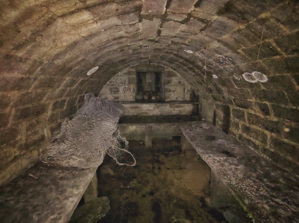
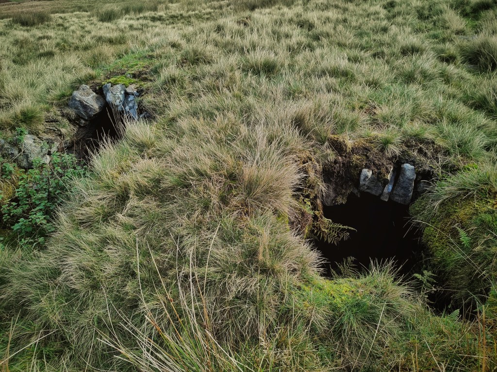
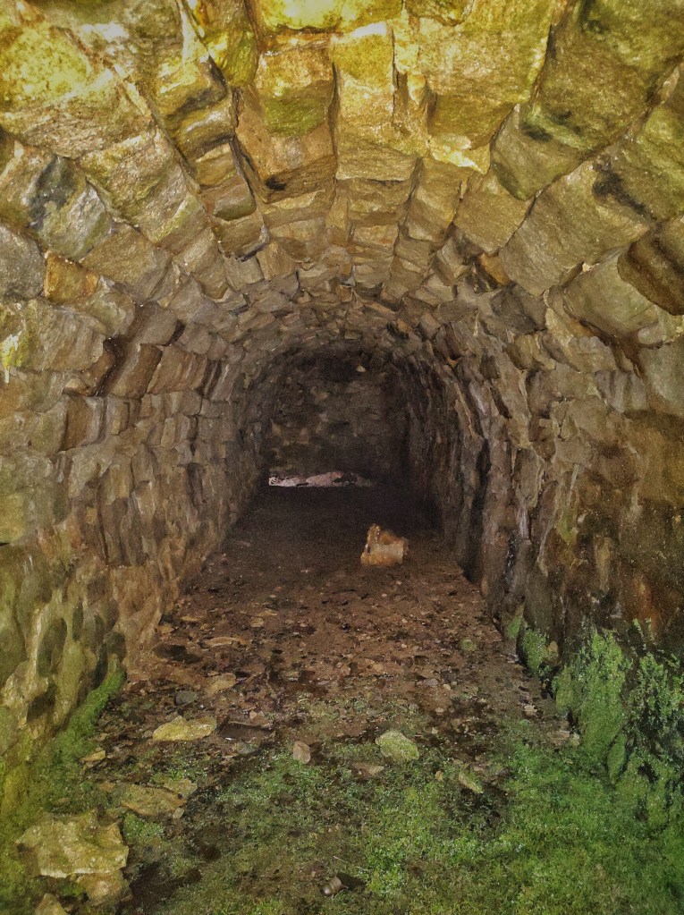
King Common’s nearest neighbours were at Reaps, the site of two long-vanished farmhouses. Dating from the mid-16th century, in 1841 they housed 26, but by 1901 just four members of the Pickup family are living at North Reaps, with Reaps Farm unoccupied. In the late 1920s an uproar of navvies arrived to dam the Reaps Water for the construction of the two Gorple reservoirs, living in huts erected on the farms’ best fields for the seven years it took. North Reaps appears to still be inhabited in the 1929 aerial photographs of the construction, while Reaps Farm, renamed at some point as Dry Summer, was used as accommodation for navvies and as a place to serve teas to visitors coming to view the spectacle. How much longer they lasted is unclear, but by 1954 North Reaps had disappeared from the OS map. Today, only a few dressed stones here and a lintel there remain within their barely discernible, rush-obscured footprints. Their most substantial remnant, as so often, are their cellars, twin tunnels at North Reaps, arched and shelved at Dry Summer, with a rusting meat hook still suspended from its dripping ceiling.
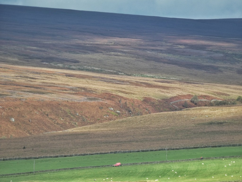
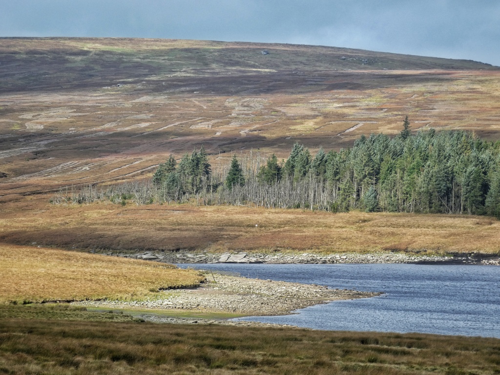
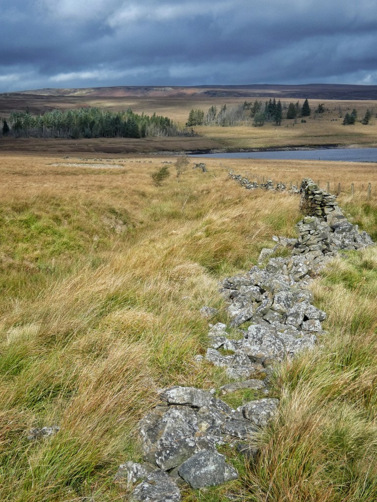
Great Rough Hey was their largest field, greedily enclosing a swathe of Heptonstall Moor. Whatever the Rawsthornes, who buried their infant children across the valley at Blake Dean Chapel in the 1870s, were once able to make of it, today its head-high rushes, treacherous bogs and hidden ditches make Coppy seem like a bowling green. Its great enfolding wall, stretching down to stepping stones drowned by the dam that hi-viz descendents of the navvies are working on today, has surrendered the fight to keep the moor out, though it has been replaced by a fence, many of whose clasps to keep the top wire taut have come loose and chime against the netting in the wind. Its only purpose appears to be not to stop sheep from roving out to the moor but to catch the inevitable stray balloons that find themselves up here, with several gold and gaudy metallic blue specimens caught at its base. Snares, forgotten about and left to rust, are set in the animal trails that maze around the fallen stones of the wall. The most optimistic stile in the borough beckons moorland wanderers from the wild over to the dubious refuge of the field, or perhaps offers release in the other direction. It is doubtful if anyone ever uses it for either.


Another fascinating tour accompanied by great photos
LikeLike
Thanks so much, David.
LikeLike