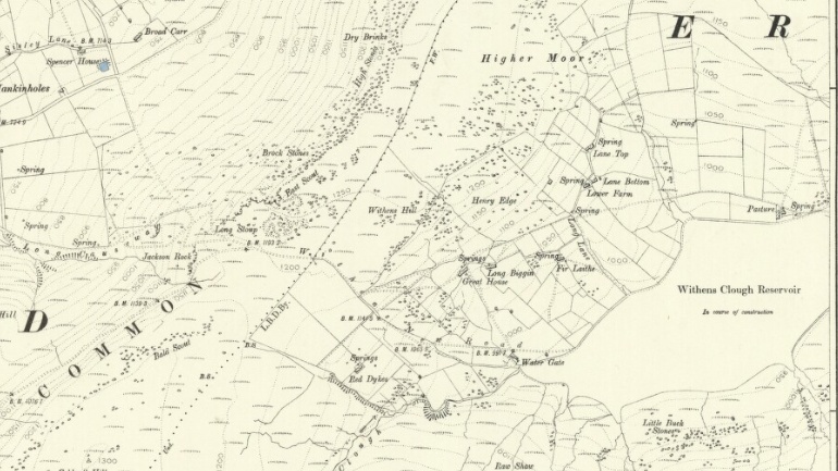
I was reminded recently by a friend who shares my interest in the history of farming in the Calder Valley that I have yet to explore the area of long-abandoned farmsteads in Withens Clough. Using the National Library of Scotland’s extraordinary online map resources, I carry out some research. The earliest Ordnance Survey map, from 1853, shows that there were once 15 farms in a mile-wide community surrounded by moors at the head of Withens Clough, a side valley of Cragg Vale, which is itself a tributary of the main Calder Valley. The farm’s names were Red Dikes, Rough, Water Gate, Causey Side, Clough Side, New Bridge Gate, Great House, Long Biggin, Fir Laithe, Trap, Lower Farm (named only on the 1894 map), Lane Bottom, Lane Top, Pasture and Pasture Top.
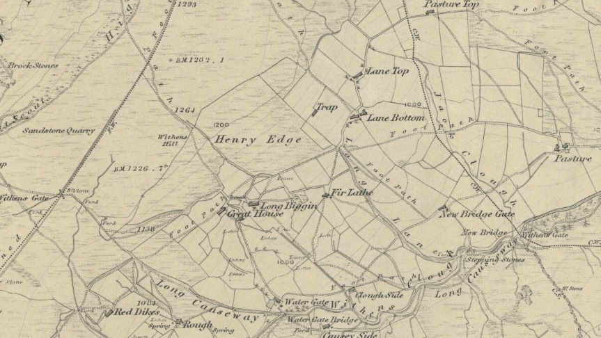
However, by the time the 1894 map is published, Withens Clough Reservoir has been constructed and has drowned Causey Side, Clough Side and possibly New Bridge Gate. Pasture Top, Rough and Trap, far above the reservoir, have also disappeared. By the 1908 map, only Pasture and Red Dikes (now Dykes) remain. I suspect that the reservoir rendered the farms that were not drowned unusable because cattle were not allowed to be kept on the catchment.
I choose the site of Pasture Top as my destination, matching the field boundaries on the 1853 map to the present-day map to give me a fighting chance of finding what I guess will only be an outline of stones. As the morning sun crests the steep hillside opposite my house that I will have to climb and warms me where I sit at the window, I close the computer and set off. I immediately re-enter the shade on the southern side of the valley, but the crispness of the morning is welcome after many days of unseasonable mildness.
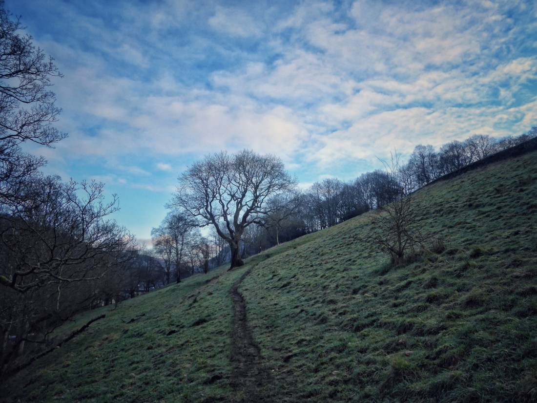
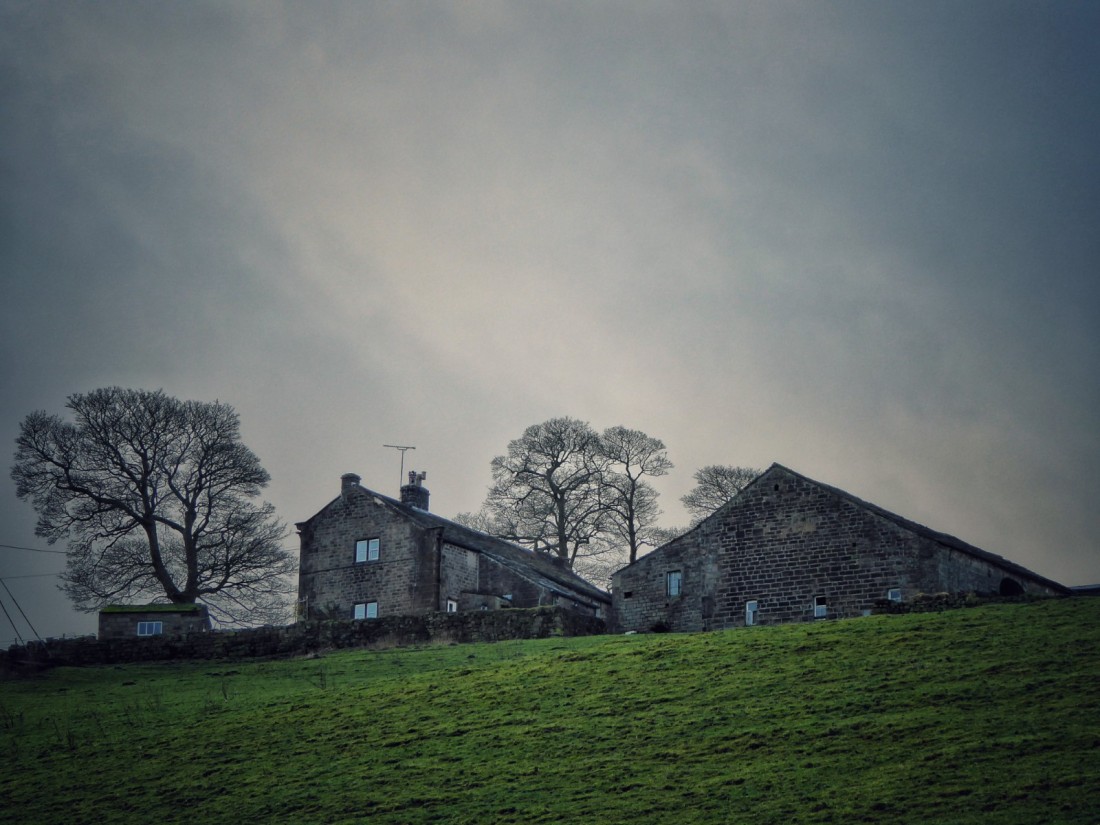
My route up the Pennine Way takes me past three working farms that have far outlived the Withens farms I am in search of. The birch of Callis Wood – thronged with witches broom and flocks of blue and great tits – press hard against the tidy pastures of Callis Wood Farm. Above the wood’s fringe of beech trees, from which I disturb a succession of slumbering flocks of woodpigeons into affronted, wing-clattering action, Edge End Farm (pictured) sits on its shelf of pastures, watched over by sentinel sycamores. A jangling charm of goldfinches scour for seed in the tiny cones of a stand of alders at the top of the wood. Emerging onto a walled lane, I come to Lower Rough Head Farm. I can see quite a few magpies leaping like lemurs among the branches of its sycamores. My six-year-old son, having recently learnt the magpie rhyme that starts ‘One for sorrow, two for joy’ all the way up to ten, is desperate to see either five (silver) or six (gold). I am anxious not to claim the riches without him, and am relieved that only four magpies (a boy) fly from the tree, the rest turning out to be rooks. But as I pass the barn, I choose at first to ignore the two I can see on its roof, then instead to believe that they are two of the four that flew from the tree. I can wait to share the treasure.
Further on, as I reach Kilnshaw Lane, I am shocked to see that a disused barn that had not only been in reasonably good condition late last year, but had been on the market with 28 acres of land for £160,000, has collapsed. It is an instructive example that the Pennine weather will not suffer buildings to be neglected.
As I ascend further, the landscape at my back darkens in the lowering mists, but searchlights of sun scan the fields.
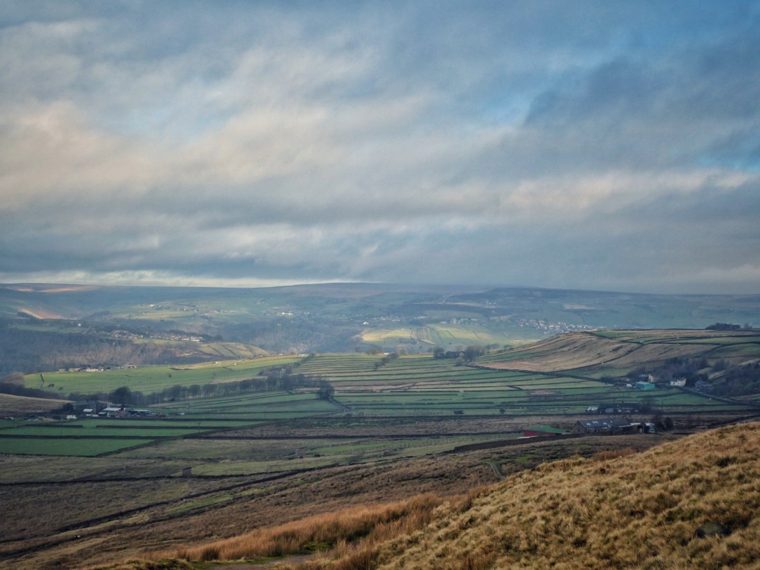
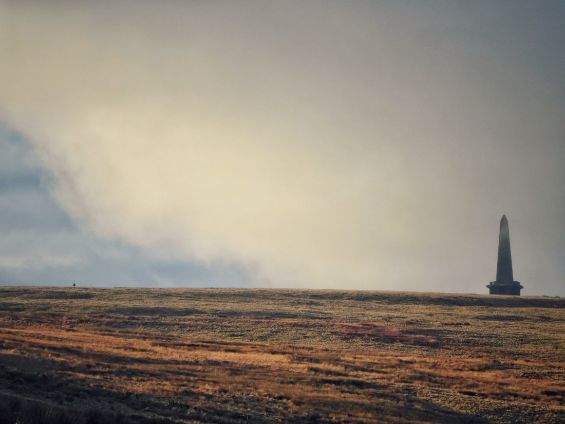
Across the russet moor to the west, Stoodley Pike’s spire snags the passing clouds.
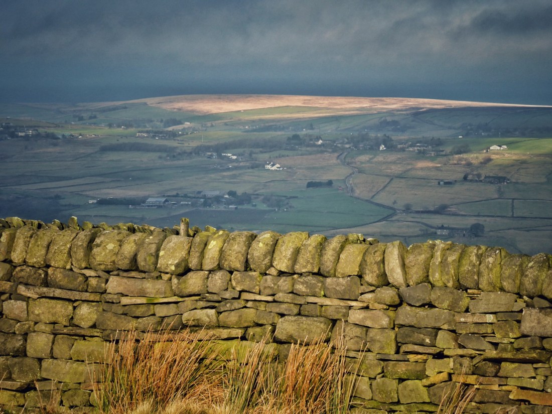
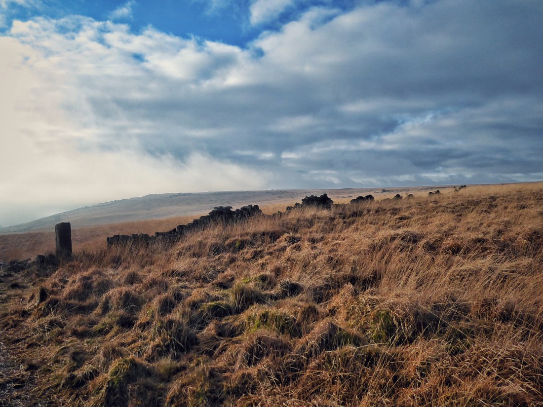
At the skyline, I reach the corner of the large conifer plantation that blankets Sunderland Pasture, which would once have been common grazing land for the Withens farms. Descending beside it on a boggy path that once again vindicates my commitment to only ever walk in wellies in the Pennines, I come to the topmost wall of what were once Pasture Top’s fields. At the corner is a formidable gate stoop, engraved with an elegant ‘E’. There is absolutely no distinction between the vegetation on the moorland side and that on the inside of the wall. At 375 metres, these top fields must always have been a struggle to have kept green, but whatever work liming and grazing had once achieved is now long undone by the rushes and moor grass.
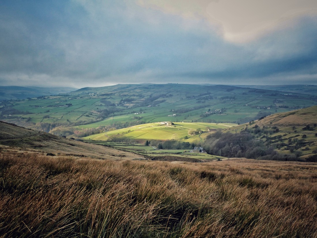
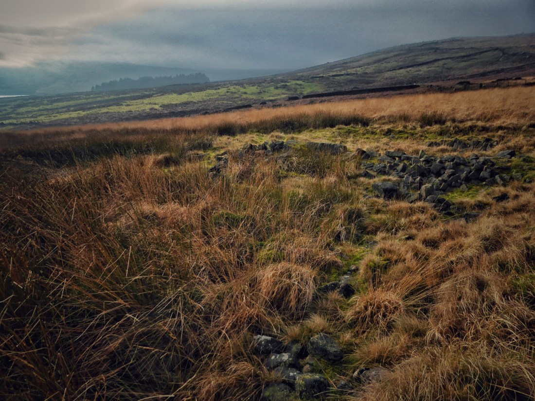
A little further down, beyond the jagged teeth of a very formal set of coping stones, Withens Clough Reservoir appears, its surface glazed gold by mist-filtered sun.
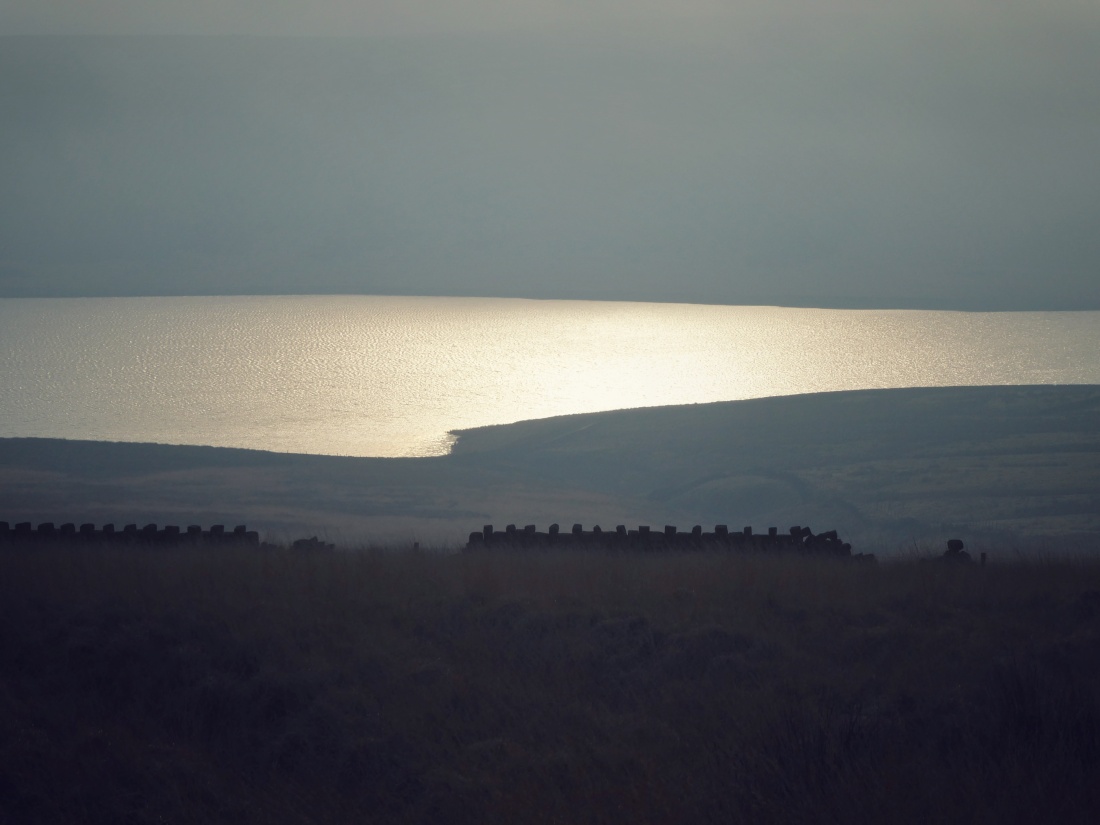
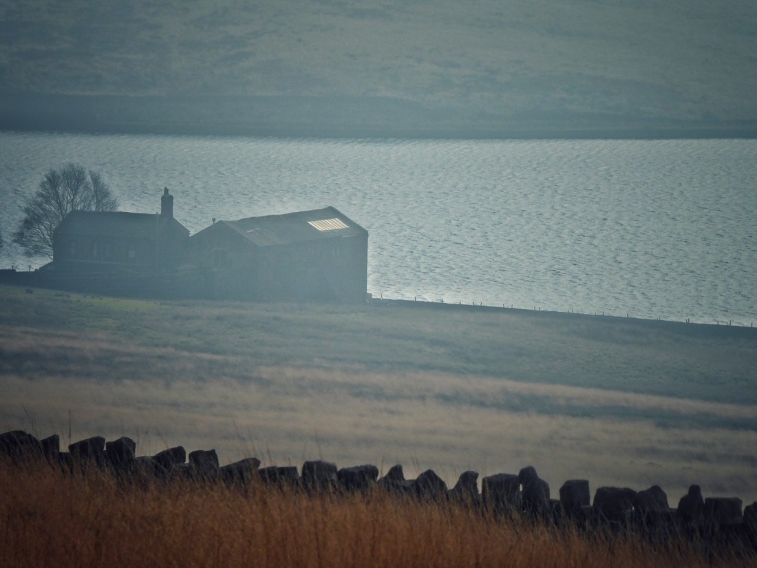
On its shore is Pasture, the single surviving dwelling of the 15 Withens farms.
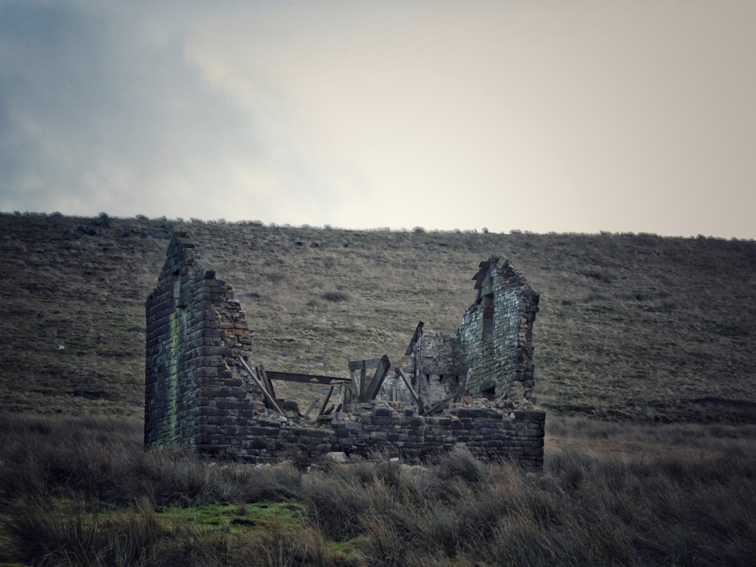
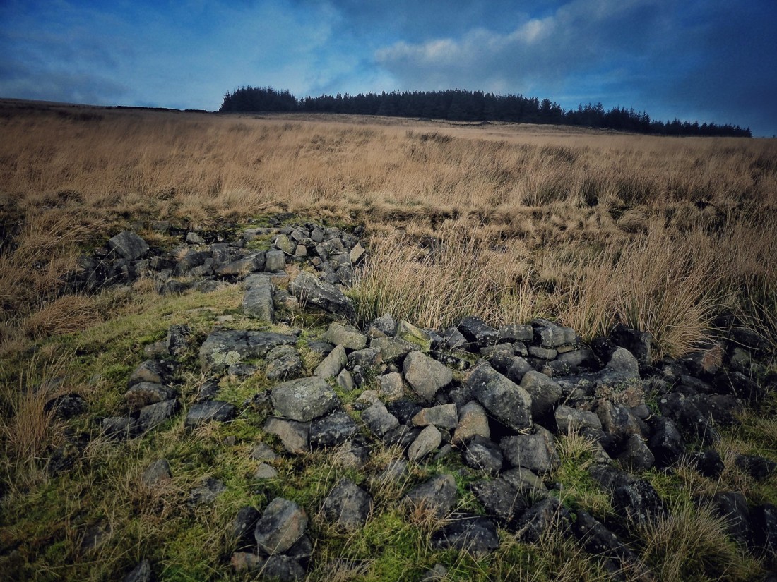
Checking my location in relation to the vanished field walls I had noted on the 1853 map, I wade into the rushes to find Pasture Top. The sun comes out and the fawn grasses shimmer, and then there it is, a foundation footprint of tumbled stones. It is not much, just a faint imprint of brief lives on the moor, like the ghost-image a bird leaves behind when it has struck a window. Its long, thin rectangular shape suggests it may have been a classic 18th or 19th century West Yorkshire laithe house, barn and dwelling together. Like other ruins among the moors I have explored, green grasses and mosses gather around its fallen walls, a memory of the fertility the farm briefly brought to the ‘waste’.
I look across the bowl of the reservoir catchment, to where the stones of the other farms are sunken, unseen, in their fields. Down on the track beside the water, a dog barks and children laugh, an echo of the past clamour of a close-knit community who could have called across the few small fields between each farm to each other. After they have moved off and as I am preparing to leave, a kestrel scythes through the returned, century-long silence.

Many thanks for this information. My family were Sunderlands who farmed at Withens and was trying to trace a farm of the same name. Jeremiah Sunderland was my great, great grandfather and was the gamekeeper for the area that you walked. Elizabeth Hitchen
LikeLike
How wonderful that you have a connection to this place. On several of the censuses many of the farms are not differentiated and are just labelled as ‘Withens’. This obviously means it is difficult to trace who lived where.
Have you found Jeremiah Sunderland on any census? I’d love to hear more about what you know of him (my email is on the About page of my blog). I do know that once the farms were abandoned only Red Dikes was inhabited, and that was where the gamekeeper lived. There is a photo of Red Dikes in the August post.
LikeLike
My Grandparents live at the Pastures, if memory serves me right it was the Sunderland’s farm before yorkshire water then wakefield and Morley water took it over for the res. the had over 1000 sheep on the land. The land behind our property is named sunderland’s pasture its now a plantation. We spent our childhoods playing on the land somewhat of a famous five story spending our weekends and summer hols up there. The barn was a old coach house the blacksmiths workshop remained although The rest of The barn was used to house lime tanks then our stables for our horse and hay. my Nan has wrote a book on the area and its history and is somewhat of a expert on the history of the wider area. and has lived at the property from 9 years old.
LikeLike
That’s fascinating, Brad. I would love to hear more, and to see your nan’s book. Would you be able to send me an email at pauljamesknights [at] gmail [dot] com, please?
LikeLike
I would also be very interested in having a look at your nan’s book if possible.
LikeLike