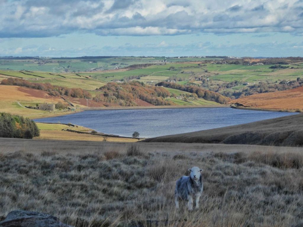
This article is an adaptation of a talk I was invited to give at a Landscapes for Water Knowledge Share event at St John’s in the Wilderness Church in Cragg Vale on 4th December 2025. It was organised jointly between the National Trust, Yorkshire Water and the Cragg Vale History Group. You can read more about the project here: https://www.nationaltrust.org.uk/visit/yorkshire/marsden-moor/landscapes-for-water
Having been tasked with very briefly (in 15 minutes) giving an overview of the history of Withens Clough, it struck me that I had a very broad sweep of time to cover very quickly, and that in turn brought to mind the scene in the 1960 movie The Time Machine, where Rod Taylor, who plays HG Wells, gets to watch the changes around him in a long timelapse sequence as he time travels into the future, and then back again through time to his present. So I thought we could do the same, but in reverse: we’ll give ourselves a bird’s eye view of the clough, and pull the lever back, travelling from our present back into the Withens Clough’s past.

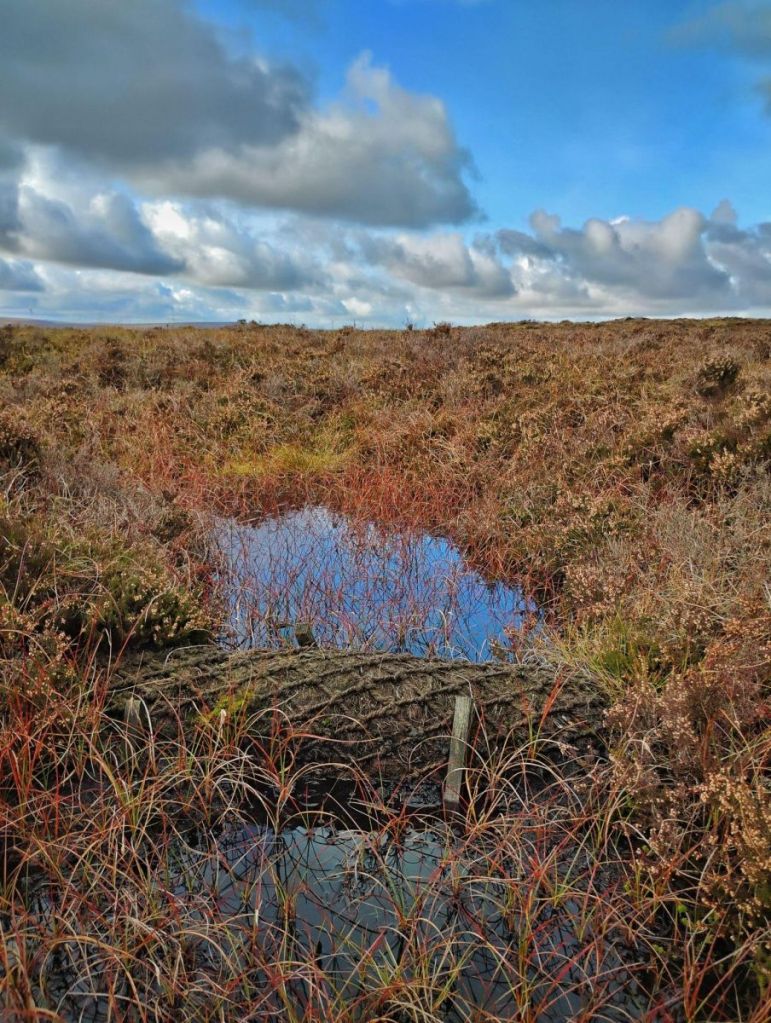
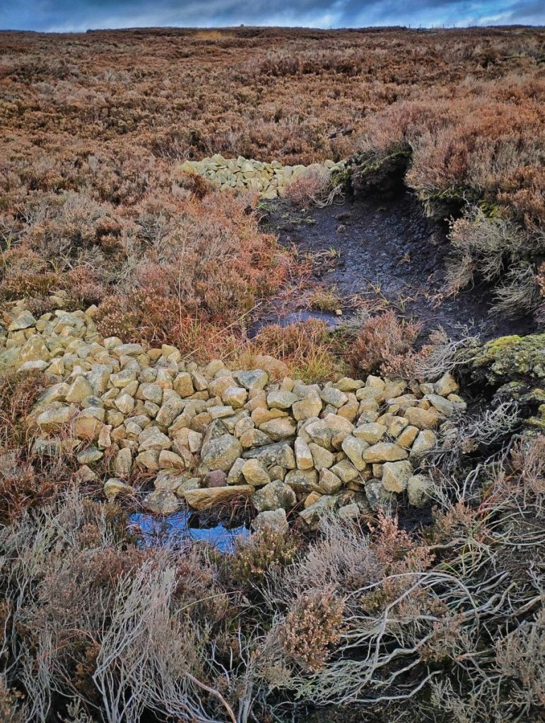
Let’s begin, and drift back through the past 25 years. The first landscape-scale change we would begin to see is the vegetation on the moor thinning, becoming more threadbare, with more peat exposed, as the restoration work by Moors for the Future around Turley Holes and the environmental stewardship on Langfield Common is undone.
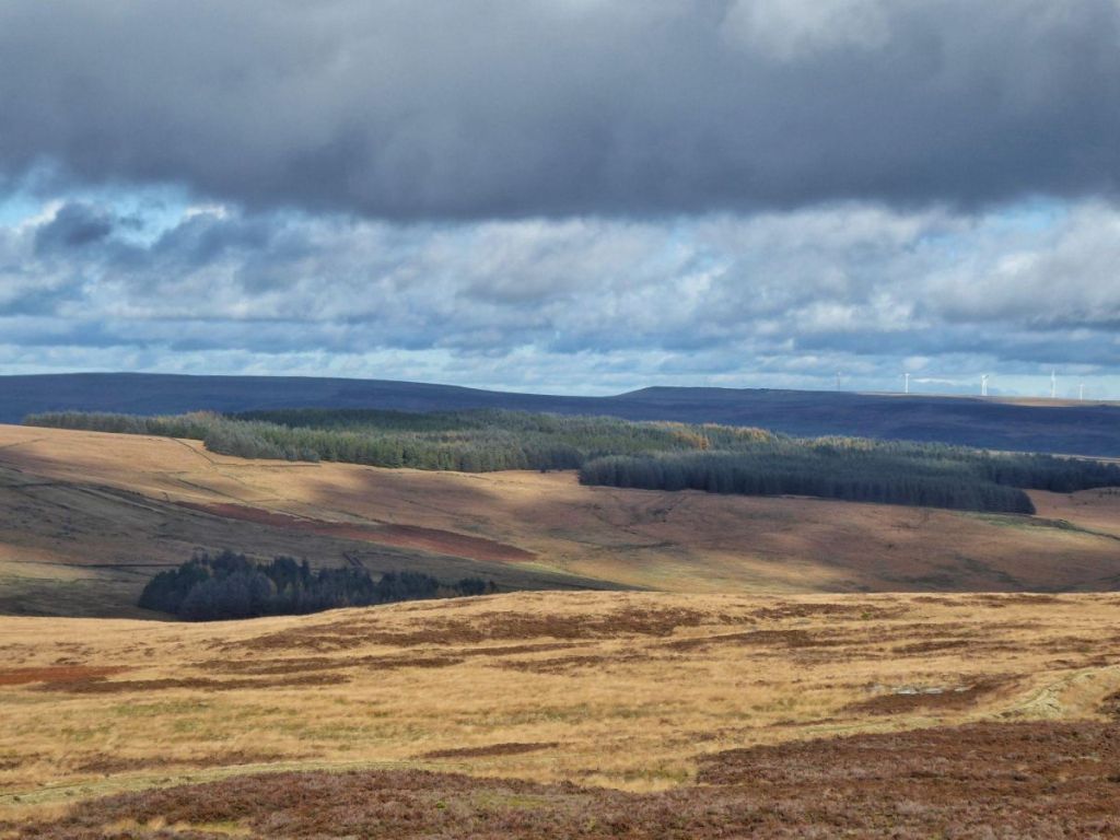
As we pull the lever back a little further, the spruce, fir and pine of the plantation on Sunderland Pasture begins to shrink. Planted in 1957 as the ‘Hebden Royd Forest’ – though only 100 of the intended 700 acres were ever planted – the trees diminish decade by decade to saplings then seedlings until, 68 years ago, they vanish entirely.
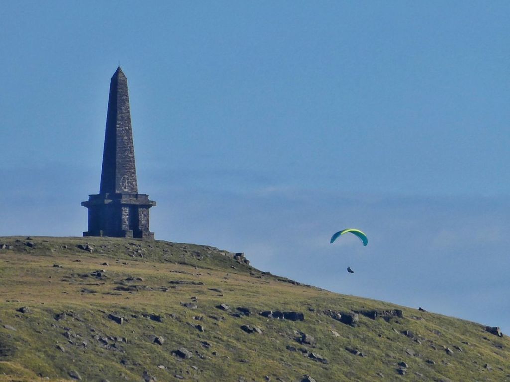
Rewinding the seasons, the numbers of casual visitors pursuing their various leisure activities on the moors dwindle: paragliders fall away from the evening sky and leave it once more to the curlews…
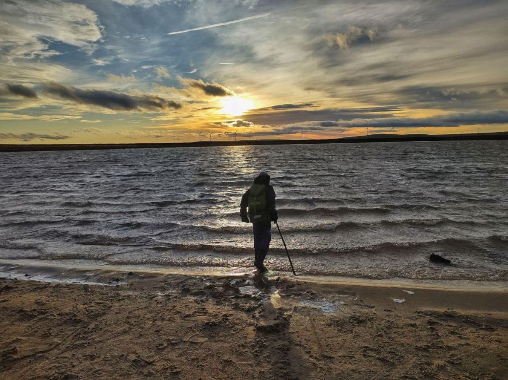
…Gaddings Dam becomes undisturbed by wild swimmers…
…the flagged paths laid to protect fragile bogs are lifted.

For a while in the 80s, these paths would widen into muddy ruts under heavy boots, but then thin and fade again as the number of walkers diminishes back through the ’70s. The Calderdale Way signs disappear in 1978. The procession of Pennine Wayfarers, staggering under huge rucksacks, evaporates in 1965.
But as the numbers of walkers dwindled, the flocks of sheep on the moor would grow through the ’90s and ’80s in response to headage payments, but then shrink again through the ’70s.

Red Dikes, that intriguing ruin at the head of the clough, rewinds too…
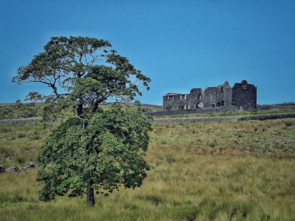
…the roof mending itself, the windows re-glazing, until, 78 years ago in 1947, a figure crosses the moor from Lumbutts: 72-year-old Tommy Ormerod, the last inhabitant of that grand house, relights the hearth and resumes his gamekeeping duties for the 16 years he was there. He yields the house to Edward Clegg in 1931; then we pass into the years when James Sunderland watched over the moor in the 1890s, zealously pursuing poachers on – and occasionally off – the moor. Before him comes a succession of farmers, including Hodgson Hodgson, who drove his best ewe over Withens Gate to the Lumbutts fair in 1850 and won first prize.
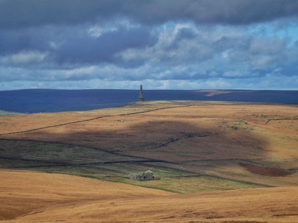
But Red Dikes is only the last remnant of a busier time. Apart from Pasture on the shores of the reservoir, it was the last survivor of a community of 15 farms.

In 1903 we would see the crushed stone of seven of those farms extracted from the banking of the reservoir, and reassembled into dwellings and barns around the wide bowl of the clough, and all would be rebuilt and reinhabited over the next reversing decade.

It was, of course, the reservoir that brought about their demise, but this way round we would see their resurrection as the reservoir emptied in 1894, the dam dismantled by 400 navvies, the clay shovelled back into the hillside, the stone replaced in the little quarries above Pasture, the crowd of a thousand or more arrive to watch the mayor of 20-mile distant Morley replace the last sod with his ceremonial silver spade on a drizzly April day in 1891. Life resumes in this remote clough, untroubled for slow centuries, livings made by subsistence farming and handloom weaving.

Emerging from the waters as it drained was the Fieldens’ Withens New Road, built in 1881–82 as a shortcut from Todmorden to their shooting lodge at Higher House…

…and the stone trackway of the Long Causeway.

The ford where it crossed the stream and passed through another Withens Gate just upstream of Pasture would also appear, and so too the pine trees of the Clough Plantation, stretching from the lower Withens Gate down to below the location of the dam.
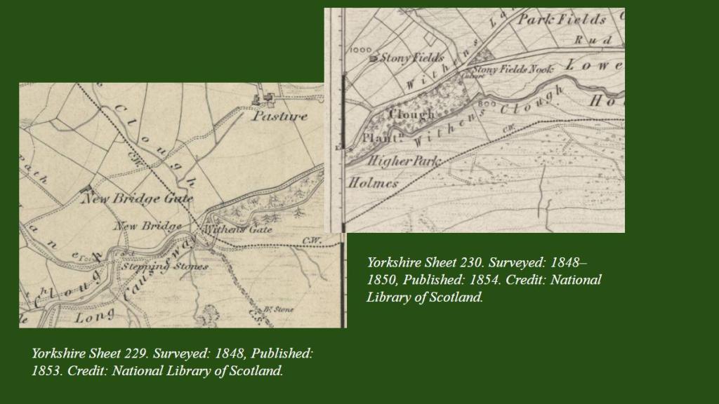
Its stumps – preserved for 132 years underwater – briefly emerged again in this year’s drought.
I said earlier that life in The Withens would have been peaceful for centuries, but of course it was never static. Before the reservoir, Stoodley Pike rewinds through its own story. In 1856 the current monument…
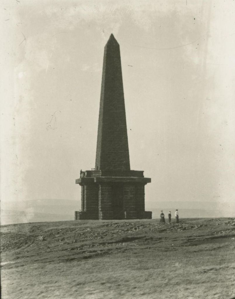
…dismantles itself. Two years earlier its conical predecessor is restored from having collapsed, and then that too unbuilds itself in 1814.
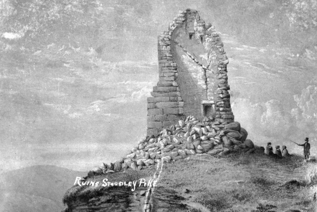
Credit: Pennine Horizons Digital Archive. Code: TAL00370.
Further back we watch Christopher Rawson’s farms – Blaithe Royd, Law Hill, Bank Top – come back into use, and the Johnny Gap Fair – a horse and cattle fair which, for a time in the 1890s was held down in Hebden Bridge beside the White Horse and at least once at the Cragg Vale Inn (Hinchliffe Arms) – move back up to its rightful place on the crest of the moor. But eventually, in 1836, the 40 fields covering 200 acres that were created under Rawson’s scheme dissolve back into the moorland from which they were claimed.

A little earlier, the Langfield Freeholders would be pacing and patrolling their common, checking boundary stones in 1840…

…and building the wall that became the upper edge of the Red Dikes enclosures in 1814.
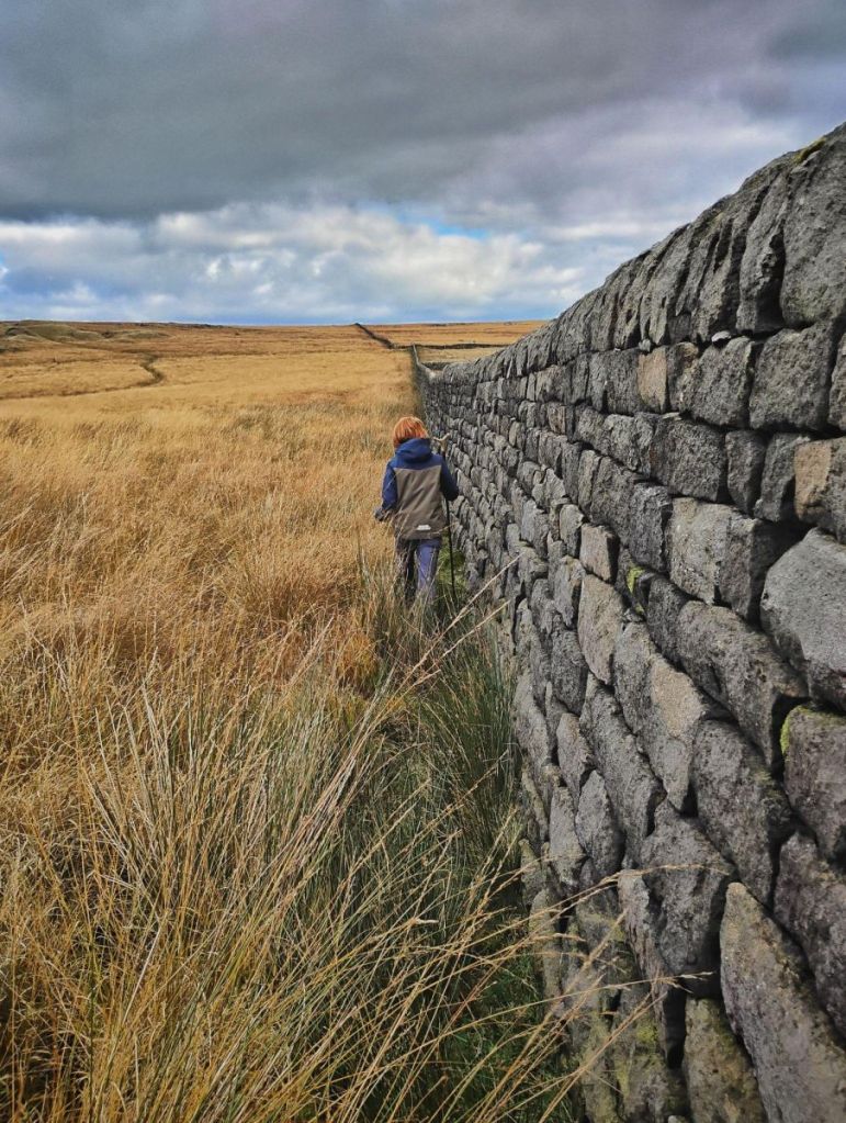
Their disputes with the Rochdale Canal Company re-ignite, threats flying in 1820 to sever the catchwater drains of the company’s reservoirs. But as we travel further back, the chain of five reservoirs feeding the canal’s summit pound empty one by one: Gaddings East, dry today, vanishes…

… then Warland…
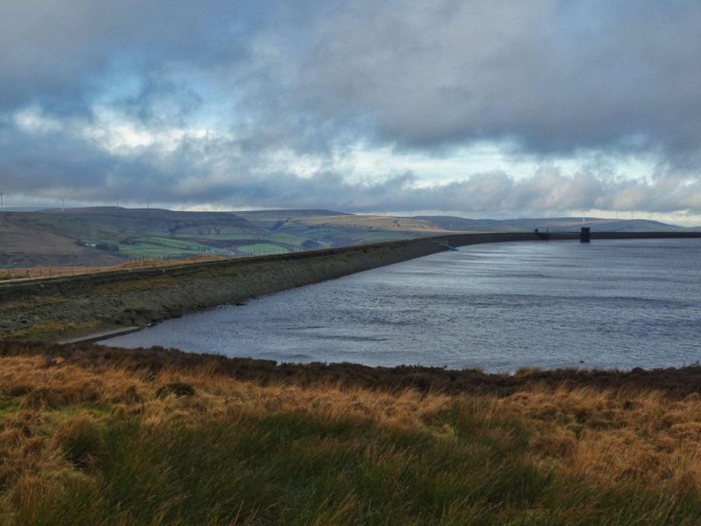
…Light Hazzles…

…White Holme, and finally Blackstone Edge in 1798. The network of their catchwater drains unwinds, and the moor’s waters are free again to follow their old courses.
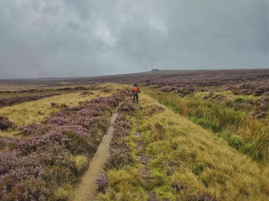
These reservoirs mark the first – or for us, the last – of the great industrial impositions on the moors above Withens Clough. Before them, change was slower. Red Dyke (later, Dikes) and Pasture appear on Jefferies’ 1771 map, along with several other farms.

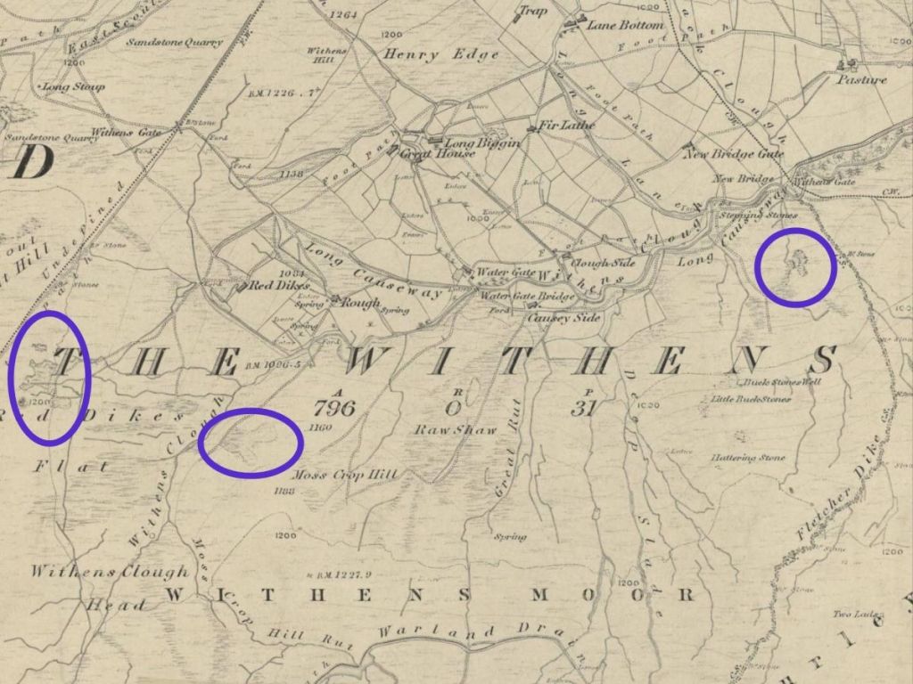
Source: Huddersfield Exposed.
But as we drift through earlier centuries, the 15 farms of the 1800s gradually fall away, their enclosures shrinking, the wounds of the peat pits where they dug fuel for their hearths healing over (just as they have done today, a century and more since they were last cut).
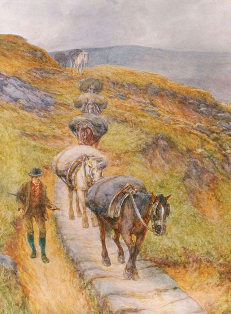
Through it all, the Long Causeway carries its steady flow of packhorses serving The Withens and Cragg Vale and beyond…
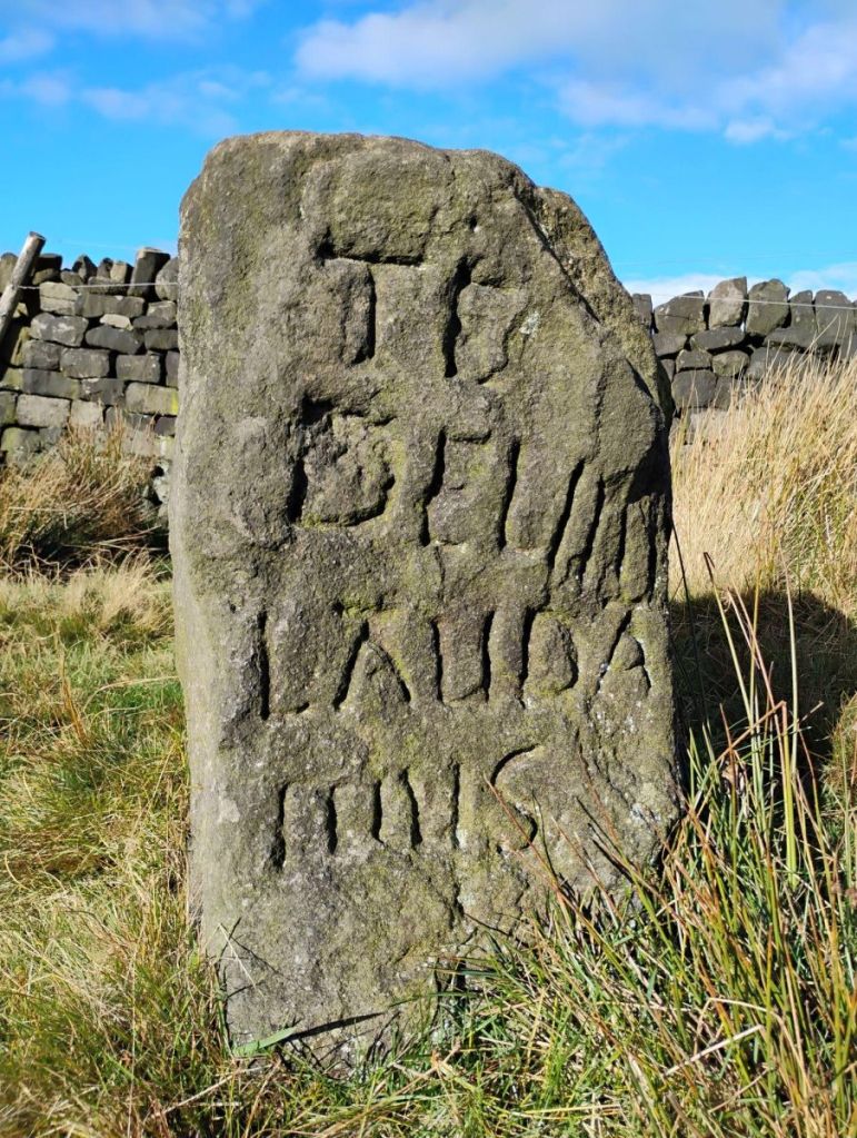
…but eventually the Te Deum stone…
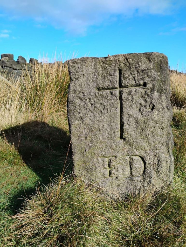
…the waymarker of the Long Stoup…
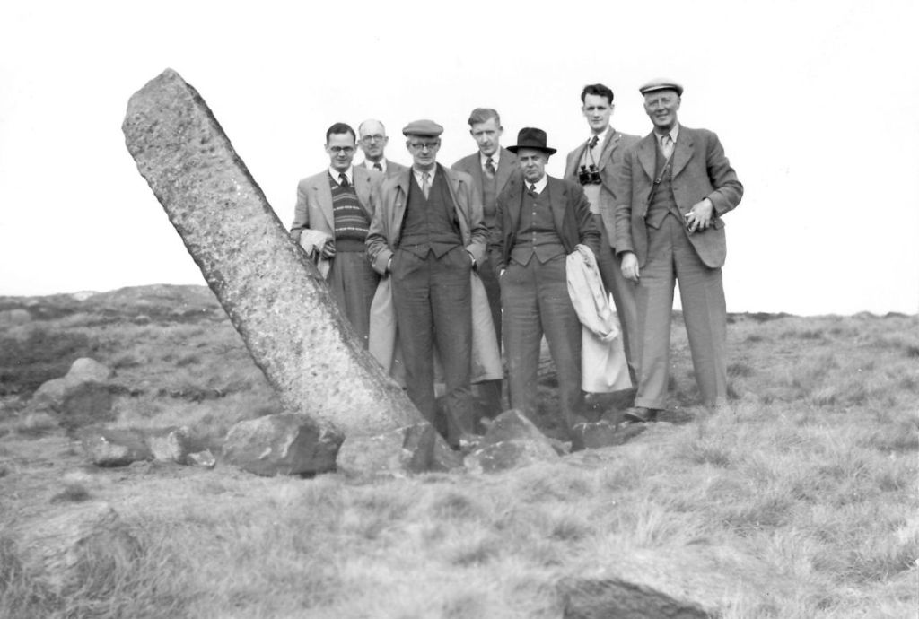
Credit: Pennine Horizons Digital Archive. Code: HLS00408.
…and the causey stones themselves, eventually slip back into the local ground from which they were wrested.
The Freeholders, after centuries of exercising their common rights, would cede the land back to the Lord of the Manor of Wakefield – after a brief stint as Crown land – in 1652.
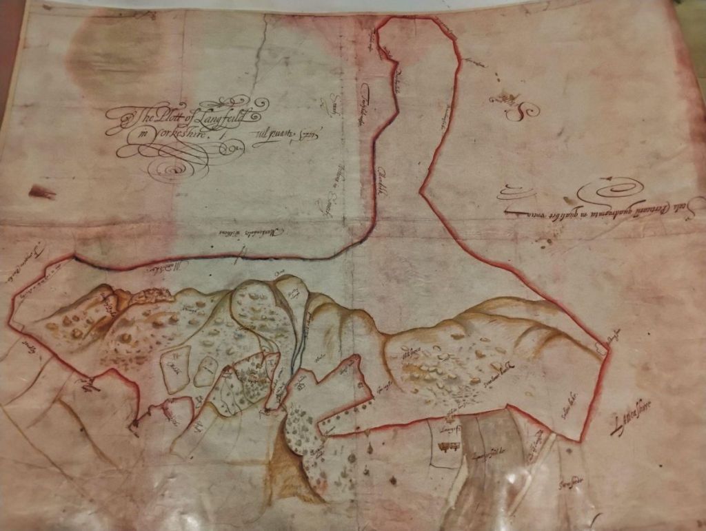
And eventually we would see what settled life in the clough began as: the vaccary of le Withens, recorded in 1314.
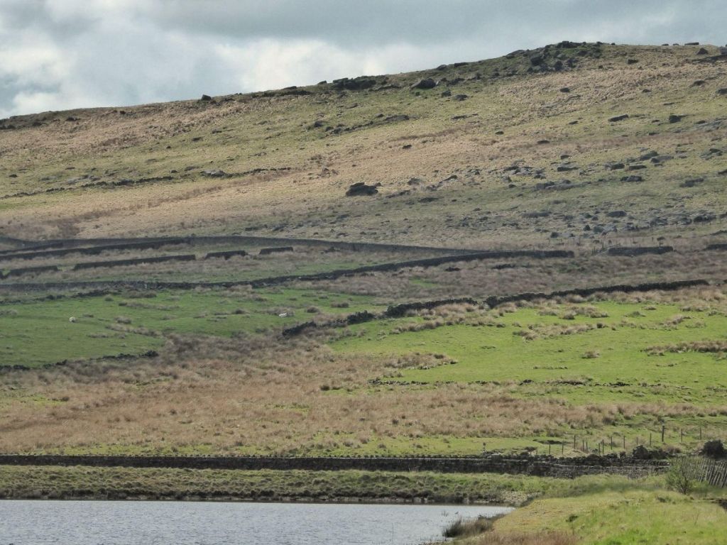
The word comes from vacca, cow – they were upland cattle-breeding farms supplying milk, butter, cheese, hides and meat to the Lord of the Manor of Wakefield, or to bring him rent. Le Withens was one of six such vaccaries in the Forest of Sowerbyshire, each probably about 40 acres – roughly two-thirds the area of today’s reservoir – and supporting around 30 cows, 20 calves…
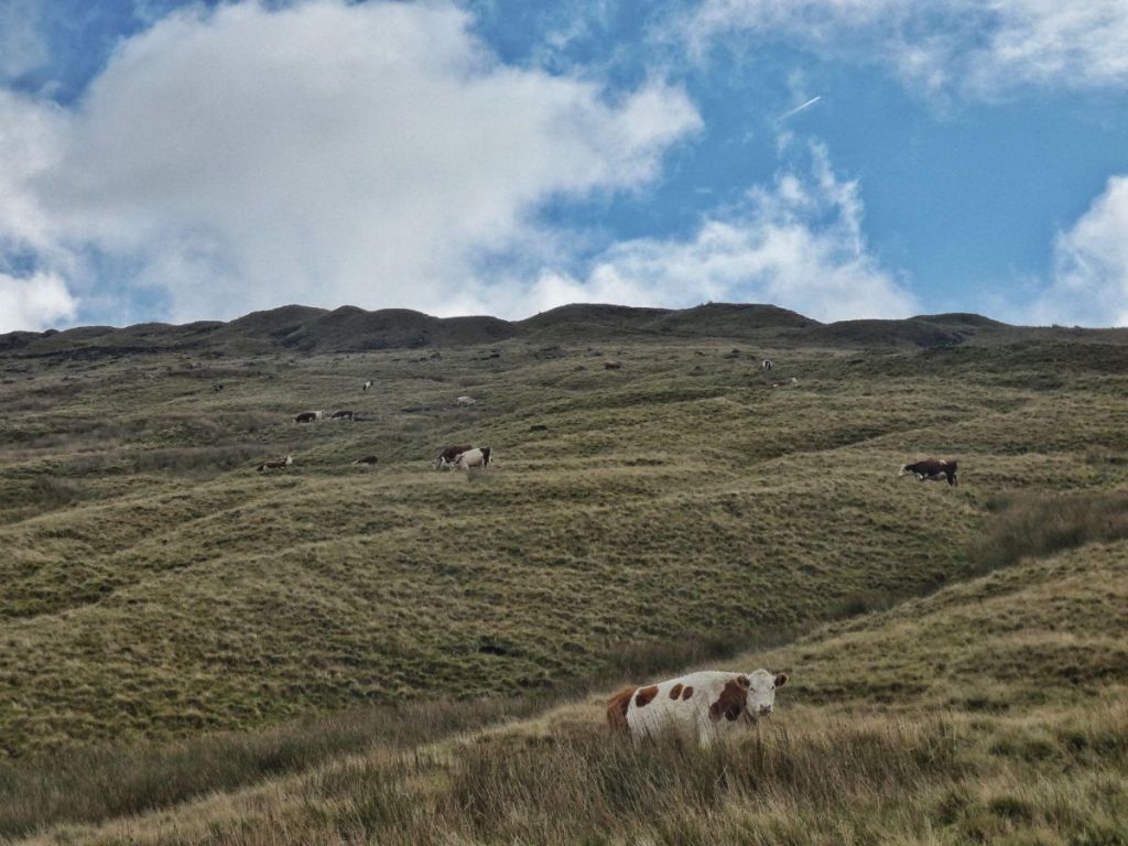
…and a bull.
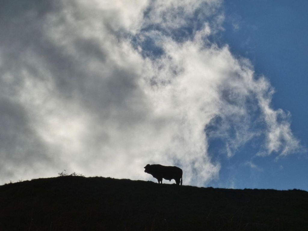
By the mid-15th century, though, a striking feature enters the scene: around 1449 an oak paling fence rises along a ditch-and-bank boundary of Erringden Deer Park, descending from the corner of today’s plantation, crossing the stream, and tracking the southern hillside below today’s catchwater drain. Less than a century later it fades away.
Earlier still, workers appear again digging ditches: one descending into the clough after crossing Erringden Moor and the Blaithe Royd fields…
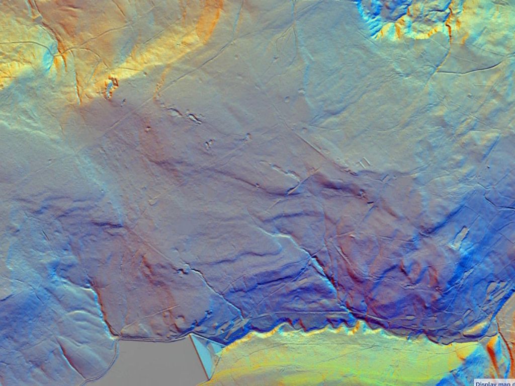
Lidar DTM 50cm–1m, Eng, Scot, Wales. Credit: National Library of Scotland.
…and the Mandike, likely an Anglo-Saxon boundary, six miles long, looping around Withens Clough from Turvin Clough to behind Stoodley Pike…
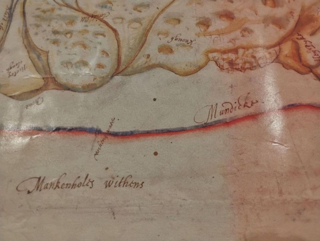
…along Dick Lane to Old Chamber. Only two short stretches survive today.

By this time the Normans have departed, and so too in time would the Norse settlers, and the brief incursions of the Romans, who only crossed this landscape rather than settled it, would not last long.

Now we must speed up. Eight centuries of the Iron Age unwind, then the millennia of the Bronze Age, then the long Mesolithic. Little trace of these ages remains here: perhaps some cup-marks on Bail Scout Hill…

…possible standing stones on Turley Holes Moor, near the Two Lads cairns…

…a flint arrowhead on Heeley Hill just the other side of Withens Gate, but not the cairns and barrows and Scheduled Ancient Monuments found on Midgley Moor, or the treasure of arrowheads found on the other side of Turvin Clough on Manshead Hill. But that’s not to say that early peoples did not live or hunt here, just that the traces they have left are faint or otherwise lost.
But one lasting legacy does appear: peat. As the climate cooled and dampened after the Bronze Age, and as early people cleared the thin upland woodland – whose treeline here reached about 1,300 feet – the soils lost nutrients, minerals leached away, and the conditions for peat formation were created. So the nearly four-metre depth of peat on Blake Moor is, in a way, partly the work of these earliest farmers and foragers.

And this is where I’ll stop the time machine, before the ice advances, the stumps of the Alpine-high mountains we are left with rebuild then unfold again, and before we drift toward the equator and are inundated by tropical seas.
But we are now at the wrong end of history, so we need to push the lever forward, racing back through that immense history – from post-glacial woodland, to peat moorland, to the little green pool of pasture and meadow of the early vaccary, through the development of a farming and weaving community, to the waters of the catchment captured first by reservoirs up on moors for the canal, and then by a distant industrial town which put an end to a community of farms for the sake of clean water for a growing population

We arrive back in our our own present moment, alive again to our own generation’s priorities, but now with the whole story of Withens Clough behind us, helping us look ahead to its next chapter.