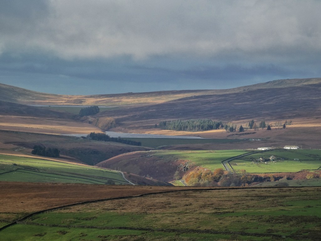
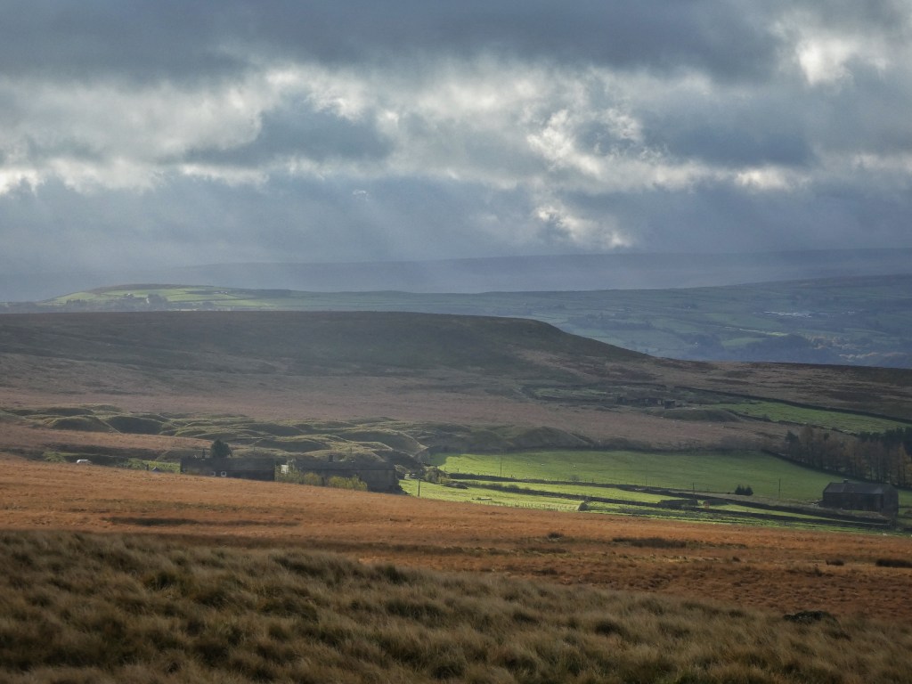
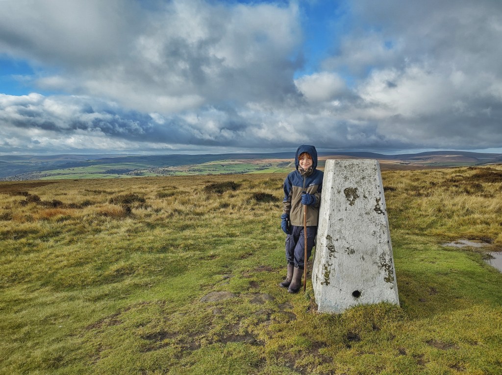
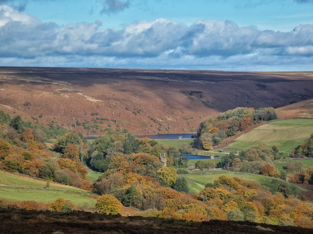
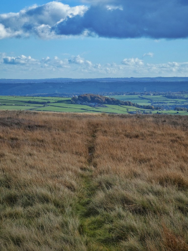
A sharp wind harries sun and shadow across the saturated moors that enfold Crimsworth Dean. Its fields were once kept green by the application of Lancashire lime transported by trains of ponies along the high route of Limer’s Gate. From Lumb Falls it climbs to Naze End, and is still well worn nearly to High Brown Knoll, but it drops under the summit before it reaches the trig point, becoming a faint strip among the rough grass. In a small mossy hollow a few yards off it, Cousin’s Spring bubbles, sending its waters down a mile-long gutter that channels them off Deer Stones Edge and on under the fields to where they are joined by supplies from the Brig Well Head Spring and the Keelham Gutter to fill Old Town Reservoir, built some time between 1892 and 1905.
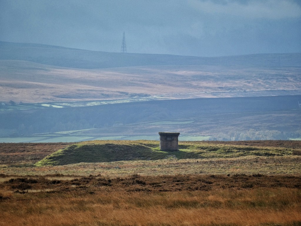
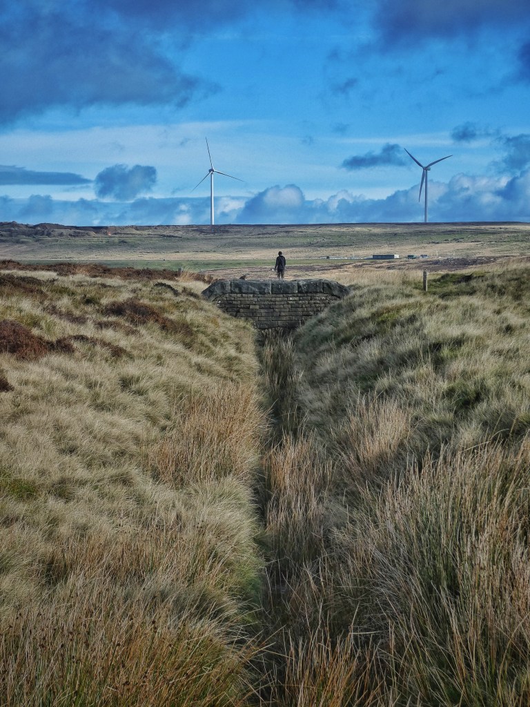
The sound of water that has no business being heard here – having fallen on the moors at Widdop and Gorple and Walshaw, and being a little over half way through its 10-mile journey to Halifax – issues from the grated windows of two ventilation shaft caps, marking the line of John F. Bateman’s Castle Carr Tunnel 500 feet under the grassed-over spoil heaps deposited beside them. On the other side of the watershed, a one-and-three-quarter-mile-long catchwater drain harvests over 400 acres of the moor for Bateman’s earlier Warley Moor (Fly Flatts) Reservoir. Nowhere here is water allowed to run where it may.
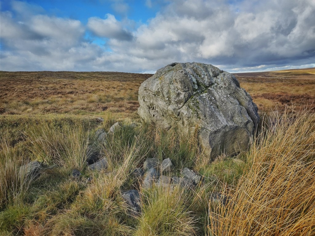
But humans have ever had their designs and left their marks upon these heights. Three thousand years ago, give or take a millennium, Bronze Age Britons were constructing ring cairns and burial enclosures on Midgley Moor, with five such sites listed as ancient monuments. Miller’s Grave consists of a cleft glacial boulder surrounded by a bank of stones, its name – from an 18th-century story of a murderous miller interred here for a time – much more recent than its origins. The nearby Robin Hood’s Penny Stone – its name also derived from more recent custom and myth – is a glacial erratic in a fascinating solar relationship with Miller’s Grave: the midwinter sun rises from the grave from the point of view of the Penny Stone, and, as recently observed by John Billingsley and Akiko Kuroda, the midsummer sun sets behind the stone from the point of view of the grave. Three other cairns, variously between 16 and 52 feet in diameter, thought to be funerary or other ritual monuments, are clustered lower down the moor, only a few exposed stones and the outline of low heathery embankments giving away their location. Conjuring the scenes of their creation and use in antiquity, and conceiving of their importance to unfathomably distant ancestors, is a much greater task, though, than finding them.
Between Miller’s Grave and the trio of cairns to its south, Bracken’s Folly is a more recent, more idiosyncratic impression left on the moor: an 11-acre enclosure ordered, some time before 1850, by well-meaning but misguided owner of Dean Mill, Jonathan Bracken, to provide crops and local employment. At 1200 feet, it is not quite the highest enclosure in the district, but it is terribly exposed on the flanks of Crow Hill, and its isolation on the moor without its own farm is unique. While its grass evidently retains enough sweetness for the sheep to prefer it to the surrounding tougher vegetation, its broken walls and the low heap of stone and brick remains of a shelter in the centre, confirm its name as well-earned.
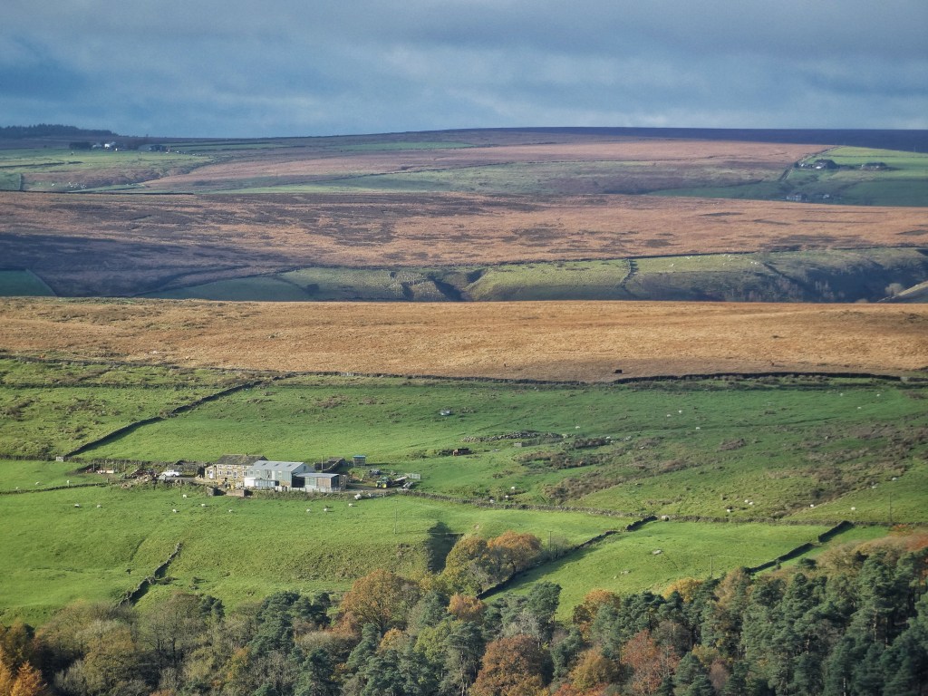
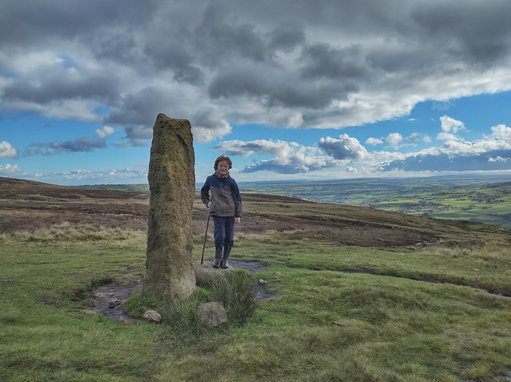
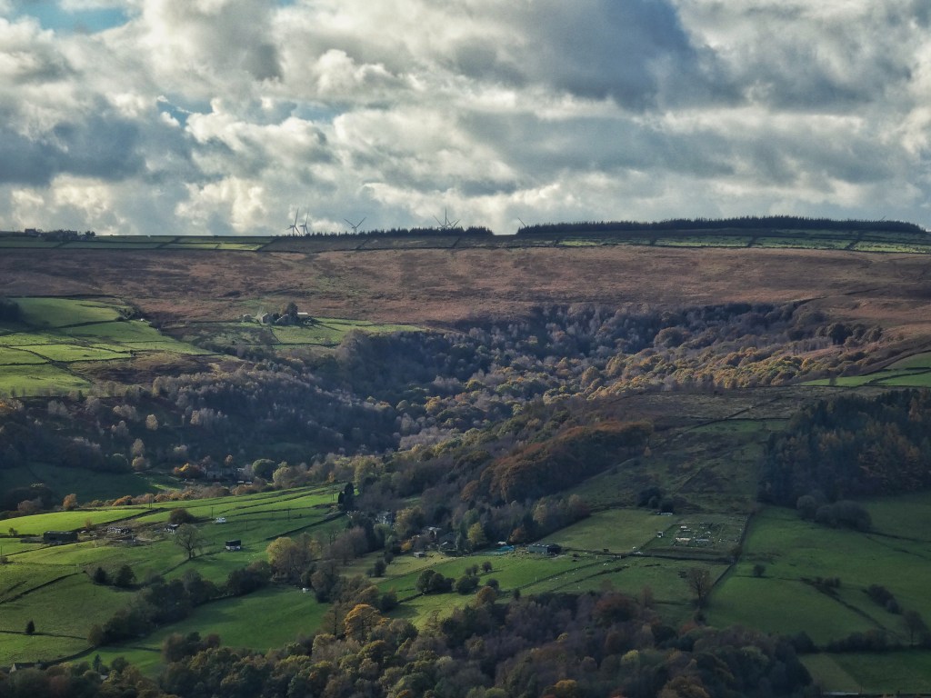
More durable and conventional enclosures reach up into the moor on the other side of Foster Clough, and are still green from the efforts of Stephen Horsefield, and his father before him. The stones of Nelmires have been entirely refashioned into a low barn, with little hint as to the original layout of the house, but the soughing wind in the pair of sycamores that stand over it is the same, and a little owl has found a roost inside. Above its topmost field, Churn Milk Joan was erected in the 17th-century as a boundary stone at the meeting of three townships, but what was used was a seven-foot monolith of much older significance, sporting as it does four prehistoric cup and ring marks. Originally known as Nelmires Stoop or Savile’s Lowe, the name that has survived is from the most well-known piece of folklore that has attached to it, in which the poor milk-maid Joan perished here in a blizzard. The tradition is that she was passing between Luddenden and either Pecket Well or Mount Skip. If the latter, she would have passed the 100-foot-diameter Bronze Age urnfield above Wicken Hill, where cremated dead were buried in funerary pots, and through the fields of Little Mount, all traces now entirely obliterated by the Hebden Bridge Golf Course, and 16th-century Great Mount, converted to the clubhouse.
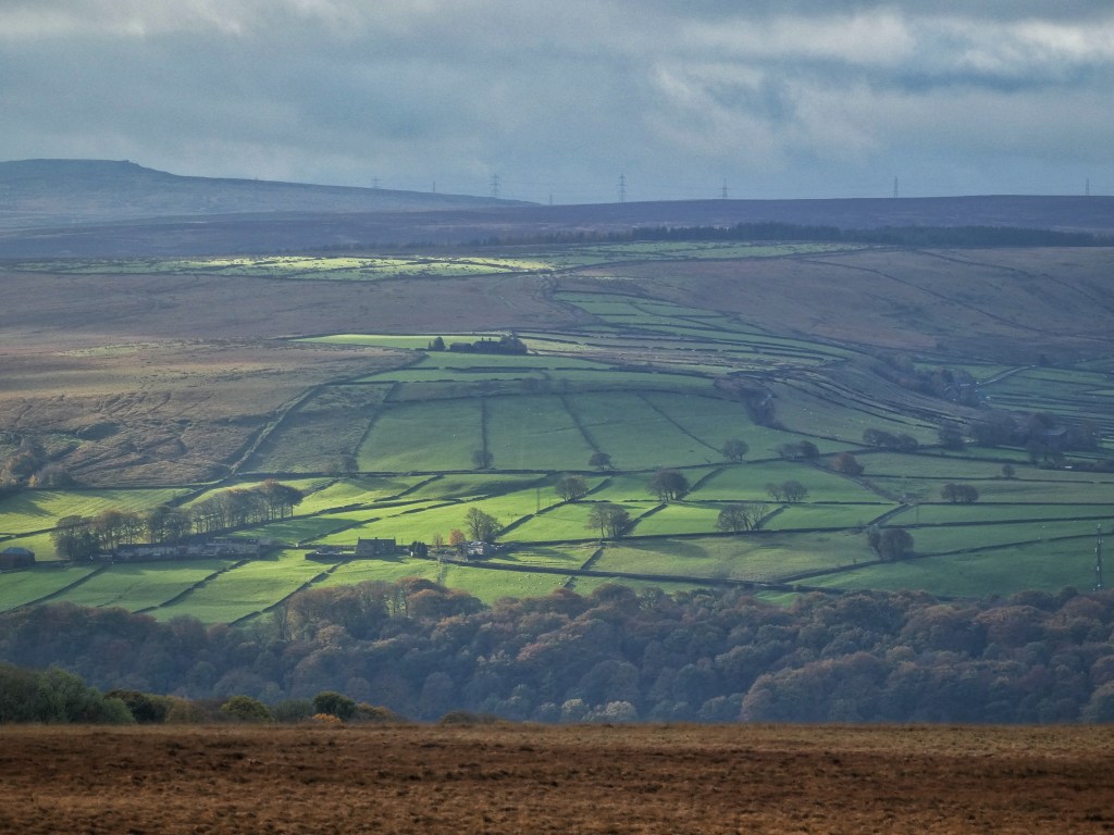
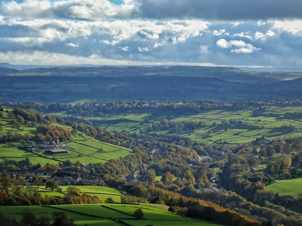
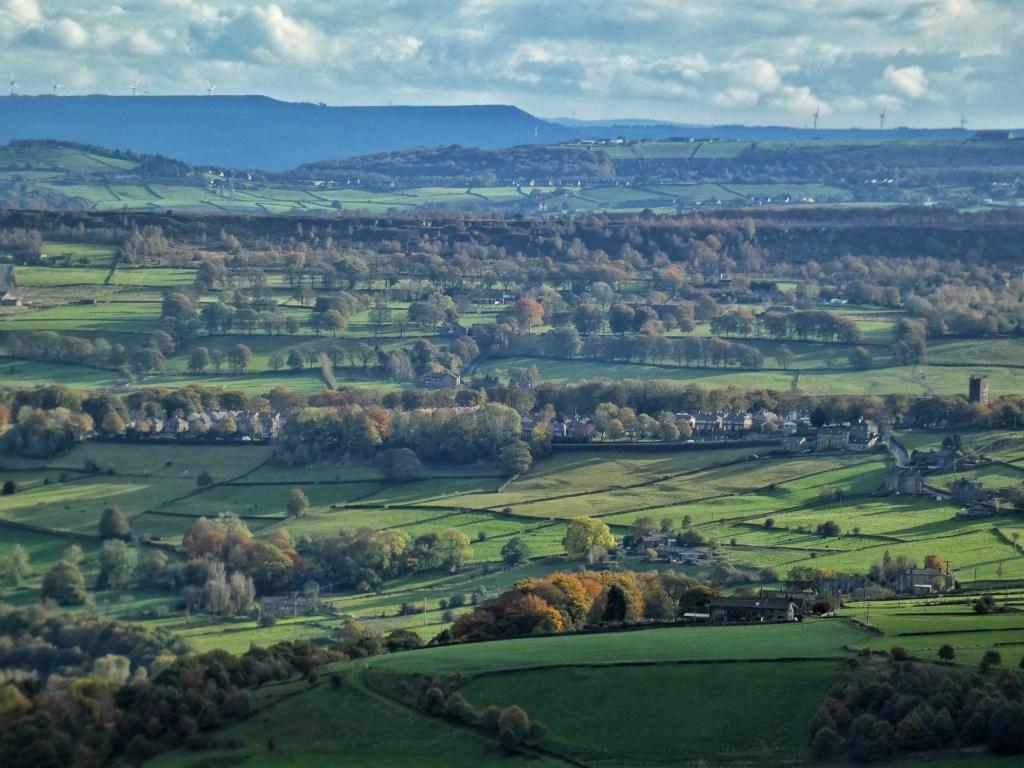
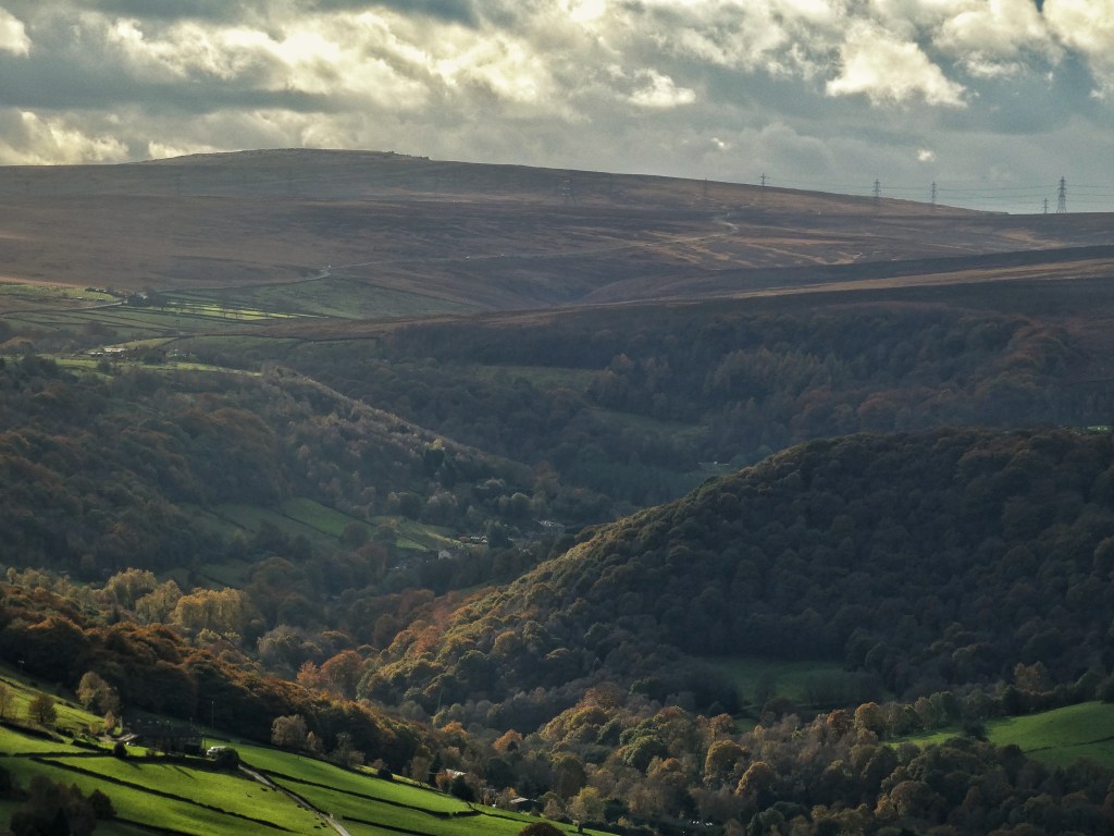
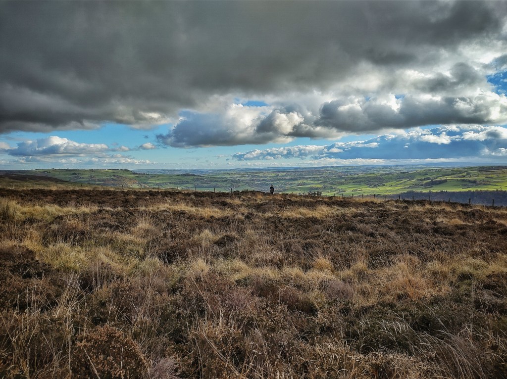
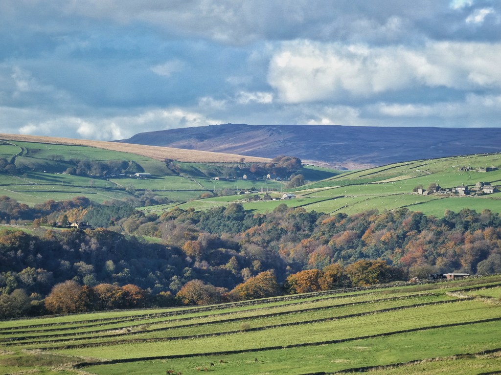
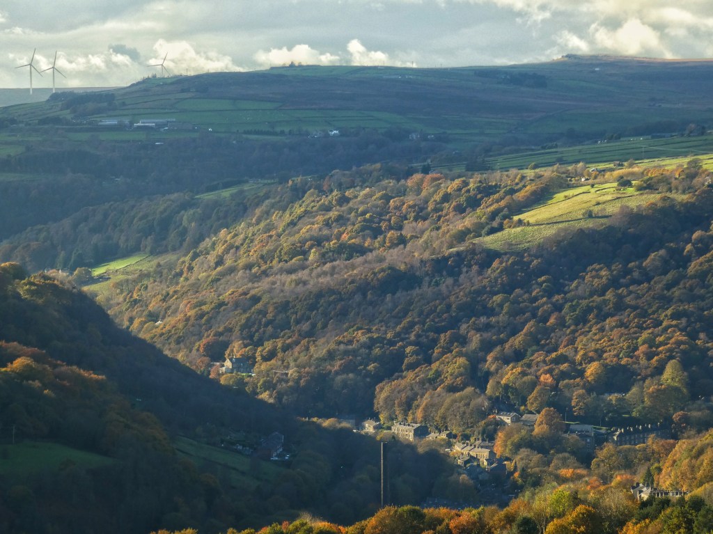
Two old friends, better equipped against the cold than Joan would have been, having climbed the hill from the valley to sit on the bench near Churn Milk Joan, share a Thermos in the cold and watch the shadows sink into the woods of Cragg Vale, make their way down through the baize greens of this improbable course. Established nearly a century ago, its fairways are empty today, its flags whip in the wind, ghosts of long-vanished field walls are remembered in the roughs, and a barn owl haunts the hollows of the old quarries that pockmark neighbouring Little Moor.