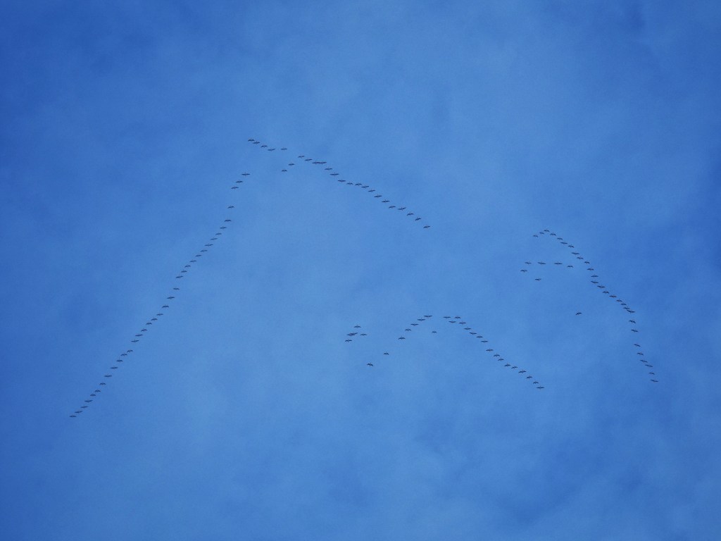
A skein of 125 pink-footed geese trumpets out of the bruised bank of fog that glowers above the scaffolded St Paul’s Church at Cross Stone. It arrows across the blue gulf and shining fields of Mankinholes Tops and plunges back into the mists that roll over Langfield Edge. Taking this flypast of their wilder, migratory cousins as a challenge, a much smaller flock of resident Canada geese cacophonously rouse themselves from the still waters of the old mill dams at Lumbutts and performs a circuit of the village’s airspace before, honour served, settling again. The gleaming white TLC bus is also out performing its own circuit of the lanes, as are two pink-tabarded horse riders from the equestrian centre at nearby Shaw Farm.
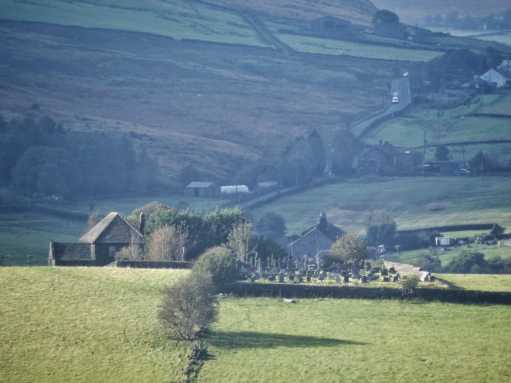
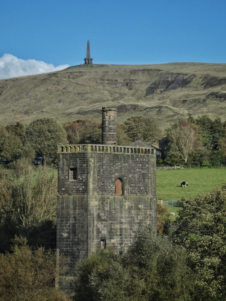
Stoodley Pike Monument resolves itself as the fog dissipates, and early walkers who have already been up descend out of the thinning vapours past the remarkable collection of buildings now known as Stoodley Grange. Once the Fielden Joint Hospital, they were built in the 1890s for the isolation of those with infectious diseases. After the Second World War it became an institution for people with learning disabilities, and in this incarnation, it was joined with Stansfield View Hospital, less than half a mile away along Lee Bottom Road. This was itself repurposed from its original establishment as the Todmorden Union Workhouse, the last of its kind to be built in the country after Todmorden, led by the mill owner and social reformer John Fielden, had resisted the requirements of the Poor Law Amendment Act 1834 for decades, sometimes violently. But finally, in 1876, the smaller workhouse of nearby Croft Carr, as well as others in the Union including Popples Bottom in Heptonstall, Rake Head in Erringden, Spinks Hill in Wadsworth and Lane Head in Stansfield, were replaced with a truly imposing, prison-like building, which, after it was extended, could house 250. Both hospitals closed in the 1990s, with the Fielden Hospital converted to homes, and the former workhouse demolished to make way for them.
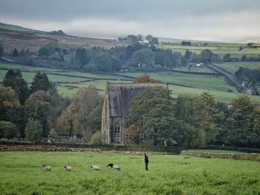
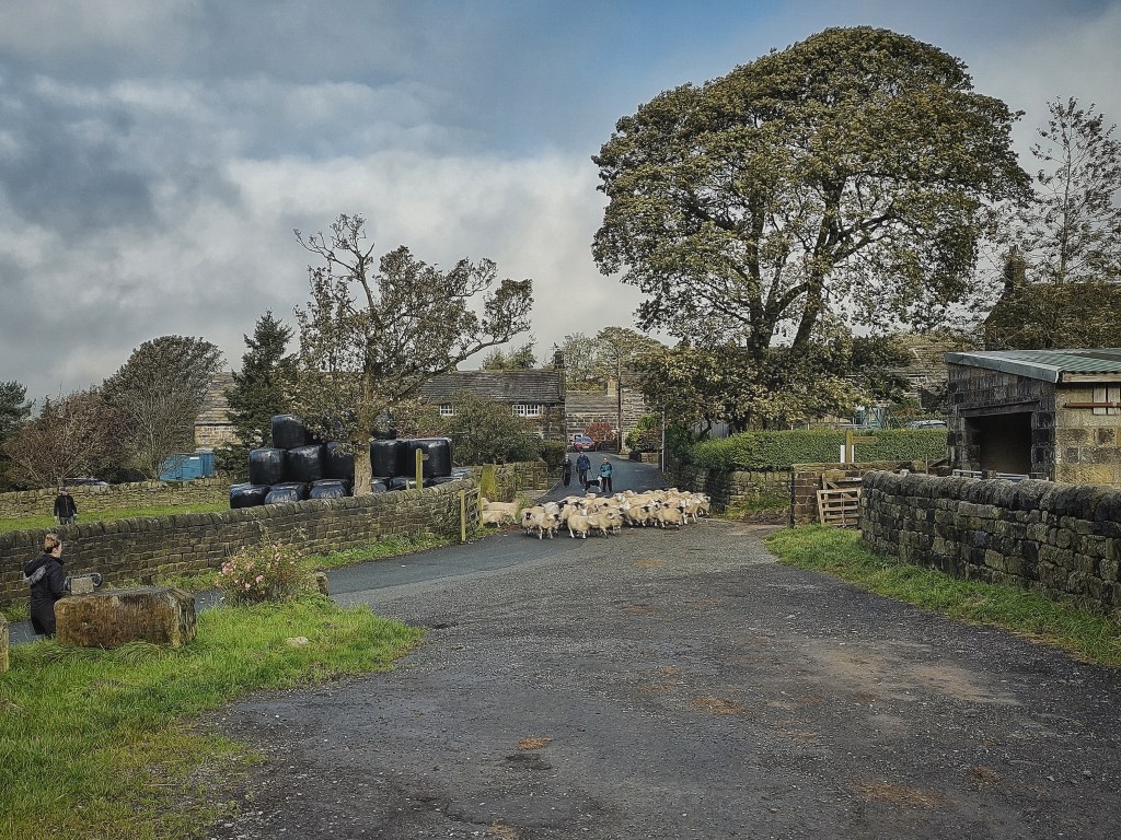
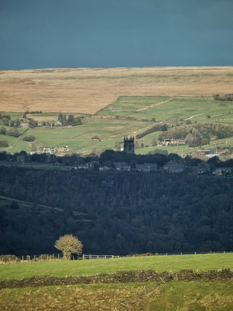
The suburban housing estate that has grown up between and on the sites of these two institutions is curiously incongruous under the wild sweep of the moor. Two fields away is the incomparably older settlement of Mankinholes, fitted into its landscape in a way we may never manage again. At one end, set slightly outside the village, was the Wesleyan Methodist Chapel, built in 1814, re-built in 1911 and demolished in 1979, leaving its Sunday School and its interred congregation behind. Within the village itself, cattle graze across the lane from the late-16th-century Old Farm; a mistle thrush rattles beside the former Mankinholes Hall, and soon-to-be-former YHA hostel, up for sale with a hopeful preference expressed by its owners for its continuation as a hostel under their franchise scheme; and a dog drinks from the row of four 18th-century water troughs, once used for watering packhorses and cooling milk churns. The third and fourth generations of the Kenworthy family to farm here are out gathering a mixed flock of lambs – Dorset Horns, Derbyshire Gritstones, Cheviots – across the road into a pen beside the water troughs for a day of making sure their hooves are healthy after the recent wet weather. These sights and sounds, and this knowledge of what it takes to maintain a landscape cherished by so many, is much rarer than it once was; eighty years ago, the fields surrounding the village belonged to six separate farms.
Mankinholes is somewhat exposed on its ridge, but its neighbouring village, Lumbutts, is folded snugly into the top of its namesake clough. Its stream powered three cotton mills, with the 98-foot tower of Lumbutts Mill, built by the Fielden family in 1830 to house three stacked water wheels, still looming above the trees, and three of the four dams and ponds which served the mills are still full, its banks, bare as recently as the 1980s, now fringed with fine mature larch and oak, the still water reflecting their autumn colours. Terraces were built for the workers, and the Top Brink Inn (formerly the Dog and Partridge) kept them watered. Today, every one of the pub’s considerable number of tables is full with Sunday lunchers, its dozen waiting staff calmly serving the hungry masses, all benignly watched over by faces from the past – Abraham Uttley, Jimmy Welton, Harmer Barker and others who are remembered still – in the late Todmorden photographer Roger Birch’s magnificent portraits of farmers and other local people from the 1970s and 80s which line the walls. As the village grew, a split among the Wesleyan congregation at Makinholes in the 1830s led to the foundation of a United Free Methodist Chapel here. The current chapel, standing among limes and yews, dates from 1877 and contains the century-old, 3-ton organ known as the Old Lady of Lumbutts.
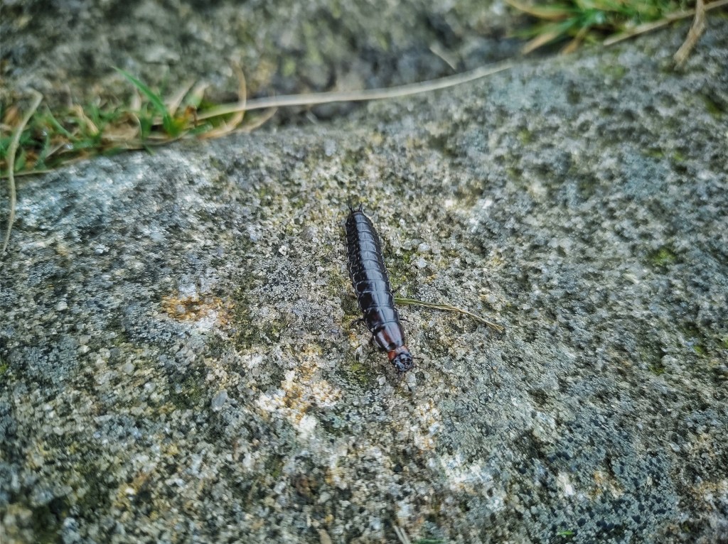
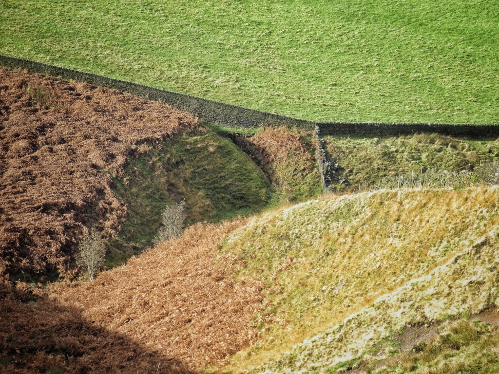
New enclosures were still being muscled up the moorsides after the 1850s. It was once a short stride from the water troughs at the edge of Mankinholes to the ‘waste’, but 21 acres were turned with graving spades, walled into three fields, and sown with oats for a harvest or two before being put down to pasture. They form an impressive wedge of green against the fawn grasses and grey boulders of the common. The topmost wall borders the Long Causeway, from which walkers are descending, while a ring-legged earwig labours upwards stone by worn causey stone, following in the hoofsteps of the packhorses that bore their burdens to the high pass of Withens Gate and beyond.
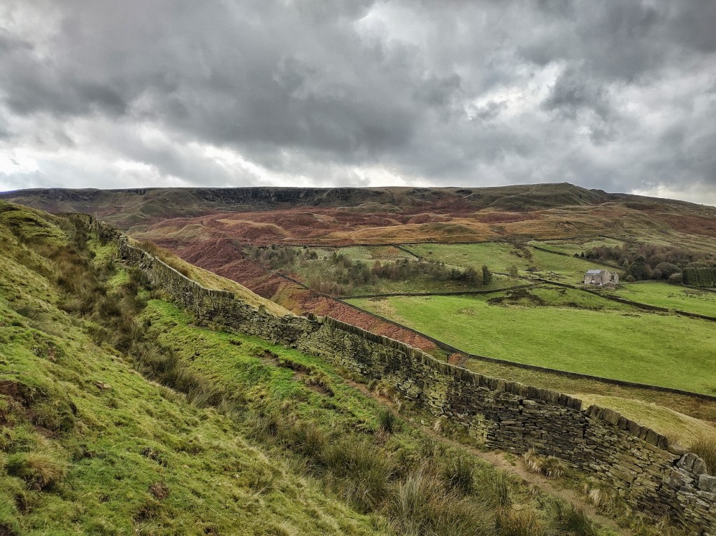
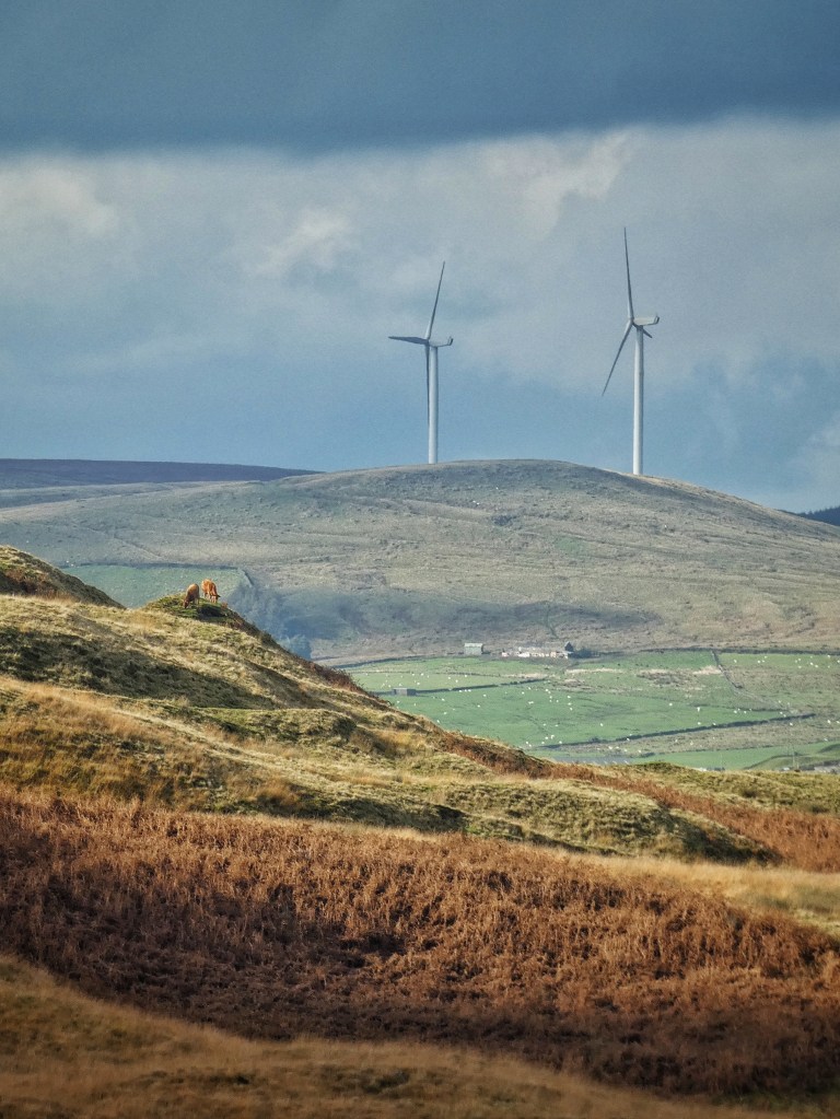
At this pass, beside the ancient leaning stone guidepost of the Long Stoop, the Long Causeway is joined by Withens New Road, constructed as part of the Fielden’s efforts to keep their workers employed during the Cotton Famine of the 1860s. From the very newly-established Shepherd’s Rest pub, at the time only recently licenced after its life as a museum housing James Greenwood’s collection of curios for the past 13 years, the track winds its graceful way under the scars of Jail House quarry, among which cattle are grazing today, and the flaking brink of Langfield Edge, above which a raven cronks at the walkers exploring its recesses. The old track, choked with an almost impassable press of rushes, curves into a crumple of cloughs, its bridge partially washed away, and then through multicoloured mires of quaking bog, above the jutting headland of Heeley Hill, so bold a feature it looks like a spoil heap or a mine tailing. It finishes by angling it way up the steep, smooth bevel of the moor to the pass, before being overlain onto the Long Causeway for a time, departing from it above the sycamore-marked foundation of Water Gate. The track on the northern side of Withens Clough Reservoir is now named Withens New Road, but since the reservoir came after, this is unlikely to have been the road’s original course, which was possibly submerged.
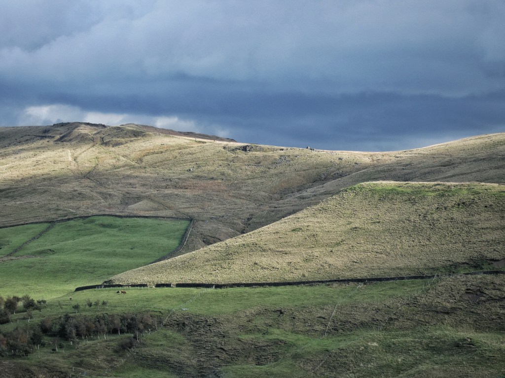
It seems likely that the three enclosures above the sheep pen at Mankinholes, as well as the grand walls of the two large enclosures above Red Dikes on the other side of the pass, and the tidying and extension of the enclosures above the Middle and Higher Horsewood farms under Langfield Edge, were also part of the scheme. Withens New Road traverses just above the top walls of the latter, ragged on the 1851 OS map, ruler-straight in time for the next edition surveyed in 1892. And another band of fields were added between Black Clough and Higher Horsewood, under which the bywash from Gaddings Dam East, now drained, was culverted in the 800-foot long Horsewood Tunnel. Its gurgling entrance under the wall is hidden by a riot of foxgloves and golden saxifrage and sagging bracken. A charm of goldfinch chitter along the stark division between field and moor, perching on coping stones, blowing from an old rowan down to the rushes, bending double to pluck at the seeds in their long-spent flowers.