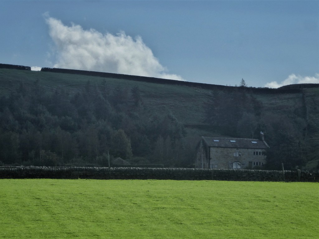
A day of relentless rain and the clough streams froth and thrash and surge into the river. The stones and boulders around which the currents usually flow are every one of them overwhelmed, but their presence is magnified in the foaming swell and violent heave of the surface. At the meeting of the waters at Mytholm, the dark chocolate Colden collides with the milk chocolate Calder, whose fury stuns the Colden into sedation, its waters somehow smoothly sliding down the left bank against the regrowing sycamore and Japanese knotweed that were hacked back months ago when the collapsed wall was rebuilt.
Staring down at the raging Calder from its fixing on Stubbing Bridge, the main river level monitor for Hebden Bridge is registering the rise in a steeply ascending blue line on the Environment Agency website, and the automated model is predicting it to continue doing so up to 2.7 metres. This is well into serious flooding territory, but the model has proved itself in the past to very much be a boy that cries ‘flood!’, and in the event the level tops out in the late afternoon fully a metre below this, just above the 1.6-metre upper boundary of the river’s ‘normal’ range. On Boxing Day 2015, this monitor’s predecessor, of a different design and now redundant nearby on the river wall against the road, recorded 3.63 metres, but this may have simply been the maximum it was capable of measuring before it was overtopped by the waters. An upcoming test of the eight flood sirens up and down the valley will be a chilling reminder of that day, and its inevitable repeat at some unknown date. The new monitor has its maximum written on its bracket: 4.3 metres.
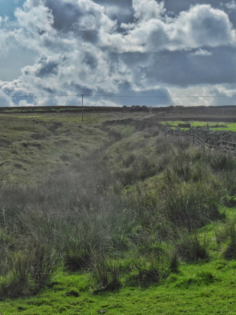
Despite another day of fitful rain, the river is placated, the heron is back on its re-emerged weir, and the racing sun follows. Rachel’s Land Rover growls its way up Whittaker Road to pass through the gate onto Erringden Moor, which brims and gleams with water. This portal from the shining green fields to the tawny moor is the likely site of the three Mandike Stones, an auspicious landmark referenced in the carving up of the medieval deer park after its 15th-century dispalement. House martins surf the last lift to the moor, and skylarks and meadow pipits flit into and out of and across the rush-lined ditch of the Mandike itself, an Anglo-Saxon boundary between the townships of Sowerby and Langfield that came to form the original boundary of the deer park. It is remarkable not how little of it remains, but rather, after five centuries of Pennine weather and further repurposing and remodelling of the moor, how much of it endures, with this 500-yard stretch from Johnny’s Gap to the possible site of the Mandike Stones, a 230-yard length that descends the moor past the Buckley Stone towards Old Chamber, and a 270-yard stretch beside the Doe Stones under Stoodley Pike. But as for the location of the Mandike Stones themselves, it is a mystery whether they were removed, or lurk in the foundations of a nearby wall, or were carved into any of the enormous gate stoops hereabouts, of which there are candidates both in situ and discarded in the unkempt, unmown field margins.
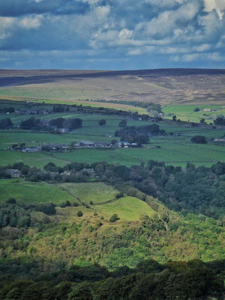
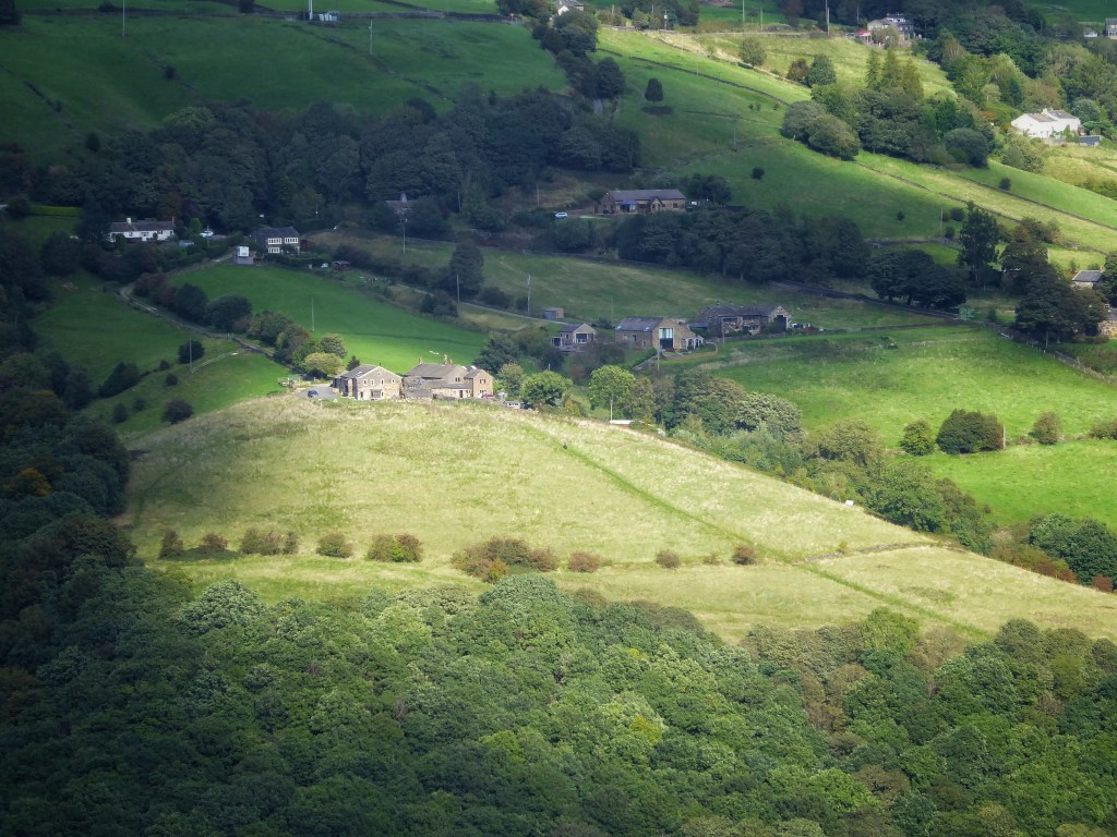
The moth wing-shaped, 320-acre expanse of Erringden Moor was once much larger, and contiguous with the unenclosed land – Sunderland Pasture, Higher Moor and Turley Holes Moor – encompassing The Withens, a community of 15 farms that was lost when the Morley Corporation came for its water at the end of the 19th century. But Christopher Rawson imposed his vision of uniformity and order upon 200 of these wild acres in the 1830s when he created 40 high-walled, neatly regular fields and divided them among five new farms, severing the ‘waste’ in two and making an island of Erringden Moor.
As part of his grand vision, where the Mandike met his fields to continue along Dick’s (likely originally Dike) Lane, the Johnny Gap Fair was instituted in 1836, a horse and cattle fair to rival North Yorkshire’s Tan Hill Show for its exposed location. Along with the farms, however, which began to be abandoned after just 35 years, the annual fair did not last, eventually being moved to a more hospitable site in front of the White Horse Hotel in the centre of Hebden Bridge, where it became gradually more thinly-attended before fizzling out in the 1890s. Johnny Gap (or Johnny’s Gap on the OS maps) became a regular scene of illegal cock fighting in the early 20th century, and now just the foundations and the cellar of the house that once stood here remain.
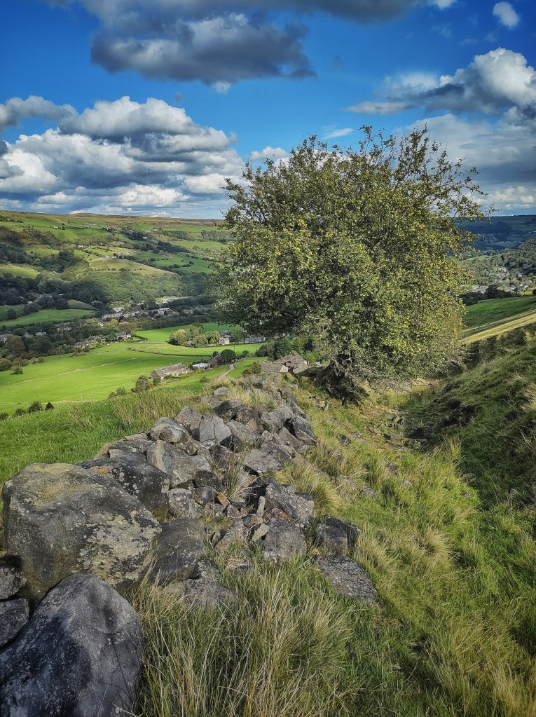
Rawson’s plan for productivity was only ever a thin green veneer, overlain on a moor that skulks underneath, waiting. The once-perfect angles and ruler-straightness of the walls might still be represented as such on the map, but in reality the true character of the land has revolted against such alien order and conspired to make them lurch and weave drunkenly among the rushes. The wind rots gaps into them, leaving a grin of decayed stumps against the horizon. And this recent pattern, pressed lightly onto the moor, has failed to erase earlier enigmatic impressions left by unknown forebears: the line of an ancient trackway that runs from the slight eminence of Keelham Pike to where the farmhouse of Law Hill stood for a brief century; pockmarks of quarries around where Bank Top met an ignominious end as military target practice during the Second World War; a braiding of ditches and banks that thread themselves from the moor under the walls and across the pastures like mycelia infiltrating rotting wood. All these imprints and scars are visible in low light, or as changes in the vegetation, and in the ghostly shadows of Lidar maps.
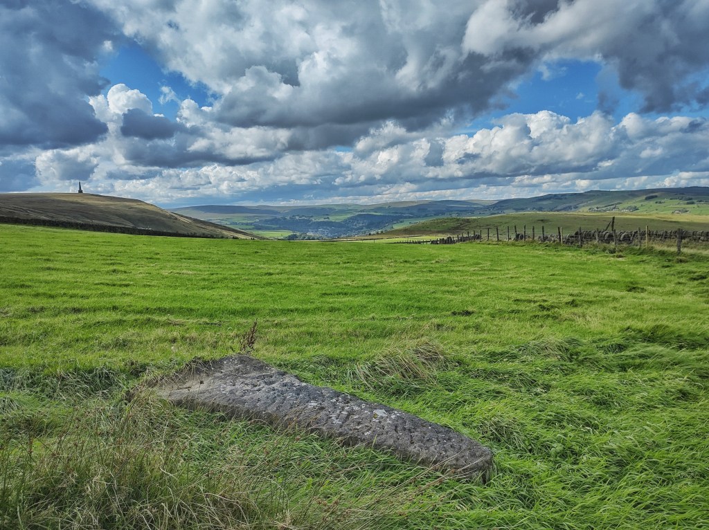
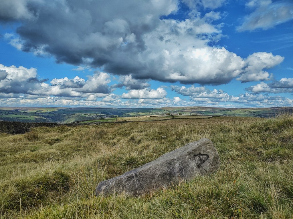
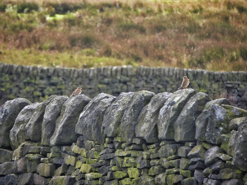
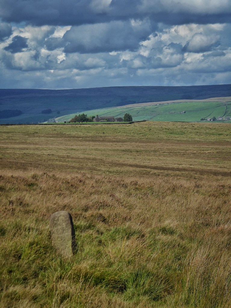
Stones are scattered among the moor-grasses: lines of 19th-century boundary stones carved with once-meaningful letters; the natural features of the Cuckoo Stone, Buckley Stone and the Lumb Stone; standing stones of unknown antiquity; and causey stones wandering off from Bell House, a possible deer feeding station and hunting stand for the park, and two hundred years later, the notorious redoubt of ‘King’ David Hartley, head of the Cragg Vale Coiners. The bleached rump of a late wheatear gleams as it lands on a fine dressed coping stone, and an iridescent pheasant stabs at the ground beside the grey hunch of a standing stone.
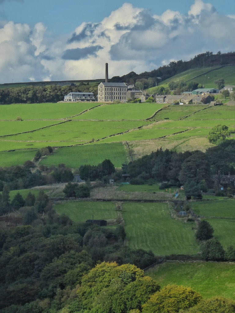
On the other side of the bowl of Broadhead Clough, where Yorkshire Wildlife Trust volunteers are busy every week dry stone walling or removing holly that chokes parts of this boggy wonderland, and where Slow the Flow will soon be starting new work constructing leaky woody dams, Tower Hill holds the memory in its name of an observation structure that likely once stood here, commanding a good view of a large part of the park once it was extended beyond the Mandike down into Cragg Vale. On the other side of Tower Hill, the deep groove of Turgate (‘turf road’), leads down from the moor, perhaps from where peat turf was cut for fuel. At the head of its descent of the valley side to the green pastures of Park Fold, a wizened crab apple has writhed its way out from the boulders of its embankment and is more laden with fruit than it has been in many a year of its long life, a response, perhaps, to the biological shock of last year’s drought and record temperatures. Along from the foot of Turgate, under Mischa’s guidance, Forus Tree are bringing on seedlings for the next generation of the valley’s woodlands, grown without pesticide from hand-collected local seed and planted, where possible, without plastic guards. The nursery is named after Daisy Bank, a nearby farmhouse that was sufficiently intact for the celebrated photographer of vernacular architecture Ralph Cross, working for four decades from the mid-1930s, to capture one of his haunting images of the barn’s interior, but it is now a jumble of massive mossy lintels and driftwood roof beams mouldering in the shade of a magnificent willow and a spreading sycamore.


Delightful and informative as ever, the photographs are stunning.
Do you know anything about the background to the regular grid of sycamores at Erringden, each protected within a small stone enclosure. There is a similar arrangement at Bank Top Farm Littleborough at the other end of the block of moorland, I wonder if there is any link or whether it’s just a coincidence?
Sent from Outlook for Androidhttps://aka.ms/AAb9ysg ________________________________
LikeLike
Thank you, Penny. I don’t know if there is any connection between Bank Top Farm and Erringden Grange, but I suspect it is just a coincidence. I have written about the Erringden enclosures quite a number of times. I give a little history in this piece, for example: https://landscapestory.co.uk/2023/07/06/dream/
LikeLike