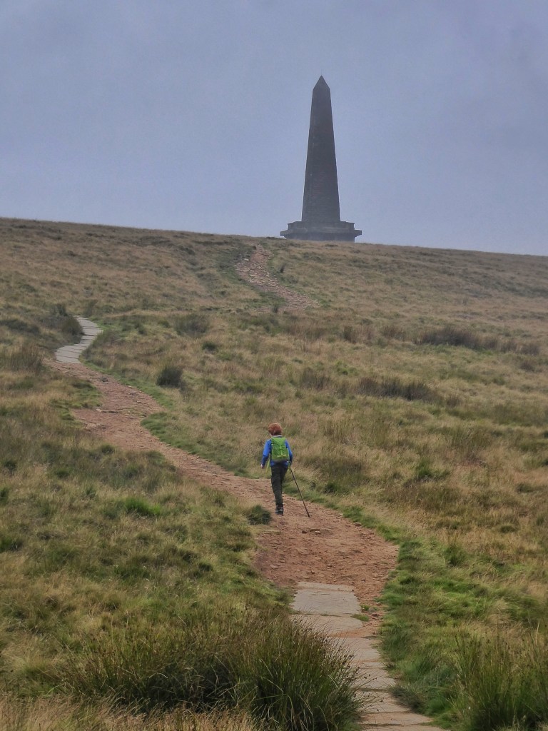
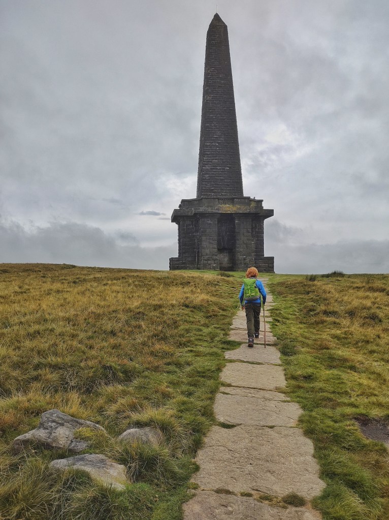
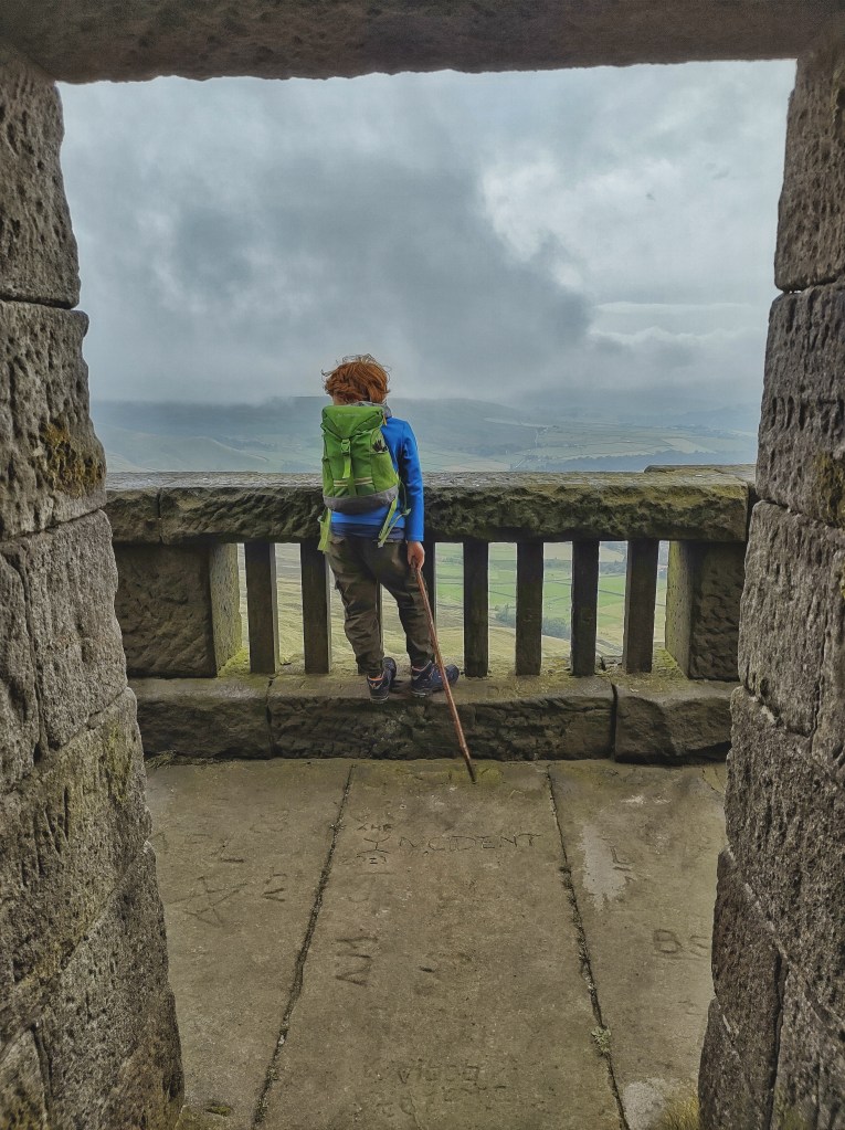
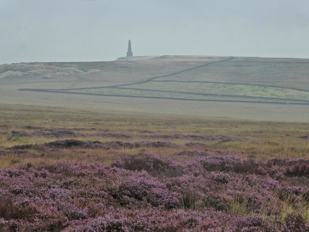
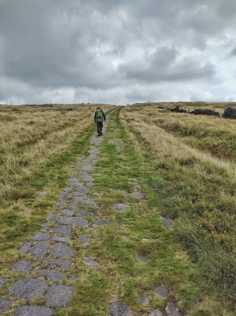
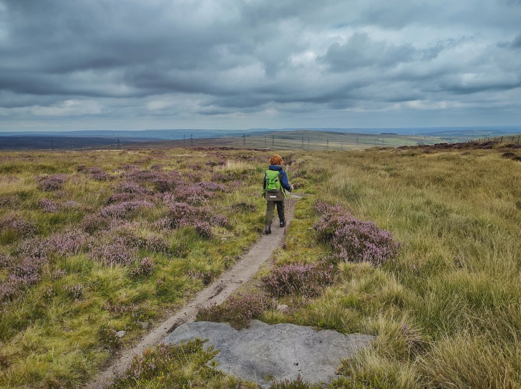
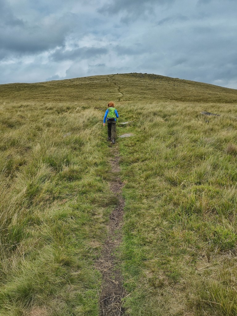
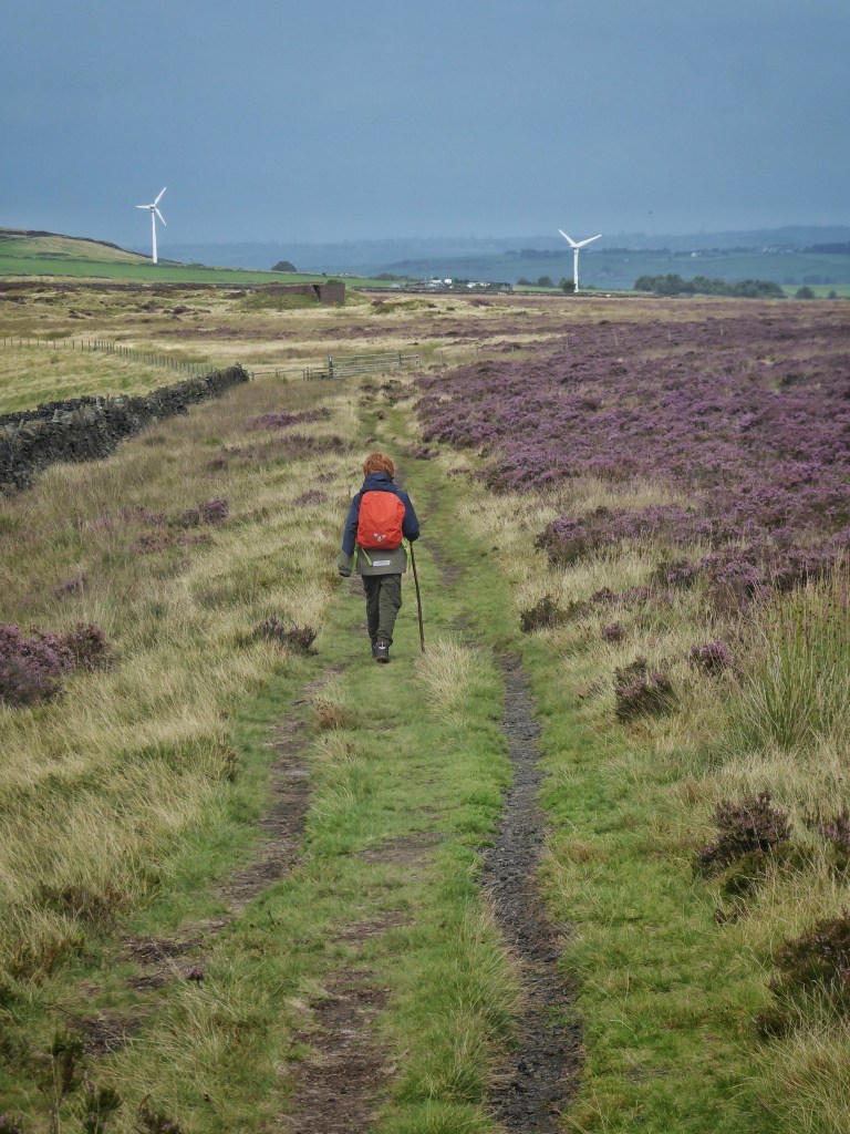
The normal hulking Victorian solidity of the 121-foot stone obelisk of Stoodley Pike Monument is insubstantial today, drifting in and out existence, vanishing and reappearing in wreathing vapours of low cloud. Its inconstancy untethers the Calderdale landscape, which orients itself around this commemoration of the coming of peace after the Napoleonic Wars. Or rather, this is what its predecessor, a 111-foot conical tower with 156 steps leading to a landing with a fireplace, was built to mark, on the occasion of the signing of the Treaty of Paris in 1814. With Napoleon yet to escape from Elba and the Battle of Waterloo still to be fought, it was a little premature, but it stood for 39 years until it collapsed in 1854, coincidentally on the same day the Russian ambassador left London before Britain declared war with Russia and entered the Crimean War. This replacement monument was erected in 1856 when peace was proclaimed. If such a structure were proposed today, there would be outcry and protest, but the fondness that all who live in its shadow have for it was clear at its bicentenary in 2014, when there was music, speeches, visiting French dignitaries, and the release of doves from its balcony. This early grey morning, a lone Pennine Wayfarer takes in the hazy view after his wild camp on the moor and ahead of a long trek to Top Withins and Haworth.
From the valley, the monument’s monolithic presence seems to signal an edge or a barrier, but behind lie sweeping miles of moorland, the Pennine spine sinuously stretching for 45 miles while barely ever dipping below the 1300-foot height of the Pike, its rearing wildness being crossed by only nine strips of tarmac before the gritstone moors give out and it finally starts dipping to Tideswell in the limestone White Peak.
Immediately behind it is the bowl of The Withens, where a community of 15 farms was reduced to two by the construction of a reservoir by the Morley Corporation in the 1890s. At the head of the wide hanging valley are the substantial walls of the late enclosures above Red Dikes, an outsized farmhouse abandoned in the 1940s. These walls were likely part of the Fieldens’ scheme to provide employment to their millworkers during the American Civil War-induced ‘cotton famine’ of the 1860s, which saw the construction of Withens New Road.
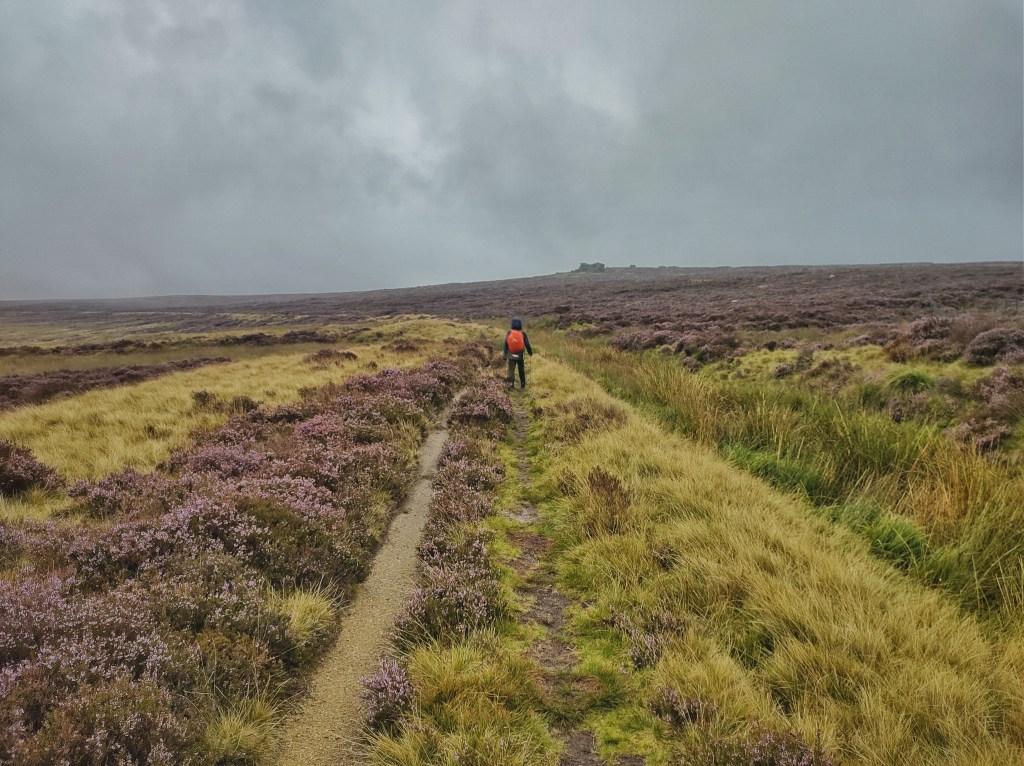
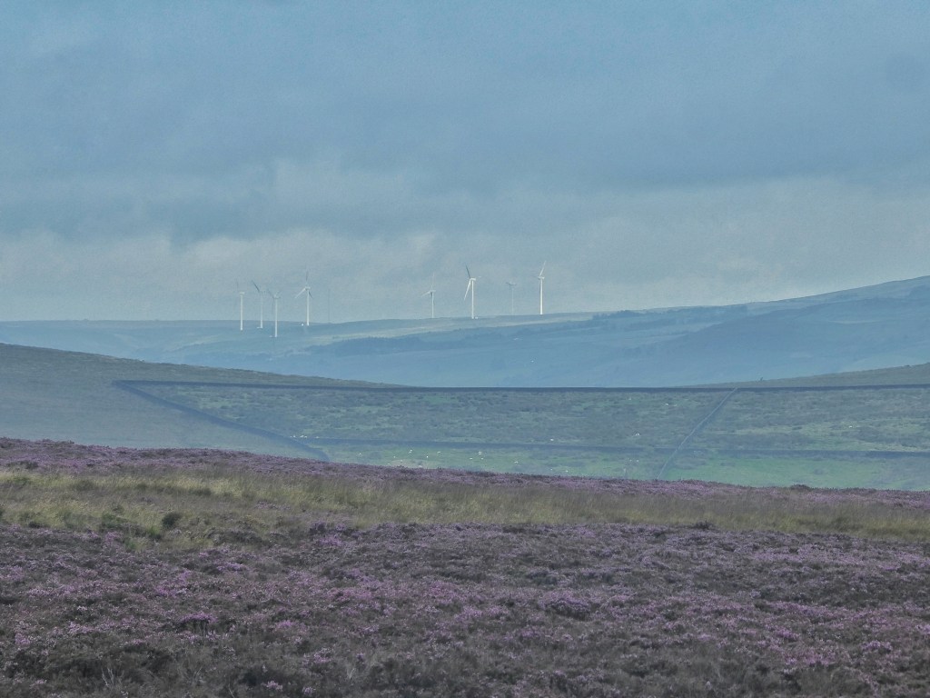
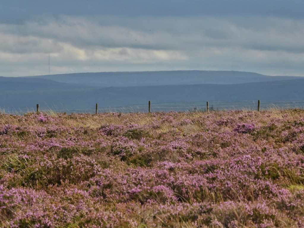
Across the other side of the clough, the gentle dome of Turley Holes Moor is sliced by the Warland Drain and the White Holme Drain, channelling peaty waters to their respective reservoirs. On the north-facing slopes, lush blooming heather sets the dull morning alight, but on the other side, there are few flowers or even much foliage, these slopes either having been stressed by the early spring drought and the unprecedentedly hot June, or having been ravaged by heather beetle. Either way, climate change is among the blameworthy factors.
Hopefully this setback is temporary, for the transformation of this moor is remarkable, from a state of desperate degradation in 2011, when Moors for the Future began a £5.5 million restoration project, to its current, much more healthy condition. Across four years, they stabilised bare peat with geo-textiles and spread 360 tonnes of lime and fertiliser to provide growing conditions for five tonnes of grass and heather seeds, 1200 bags of heather cuttings, 60 million Sphagnum fragments and 23,000 native moorland plug plants such as bilberry and crowberry.
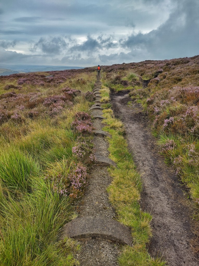
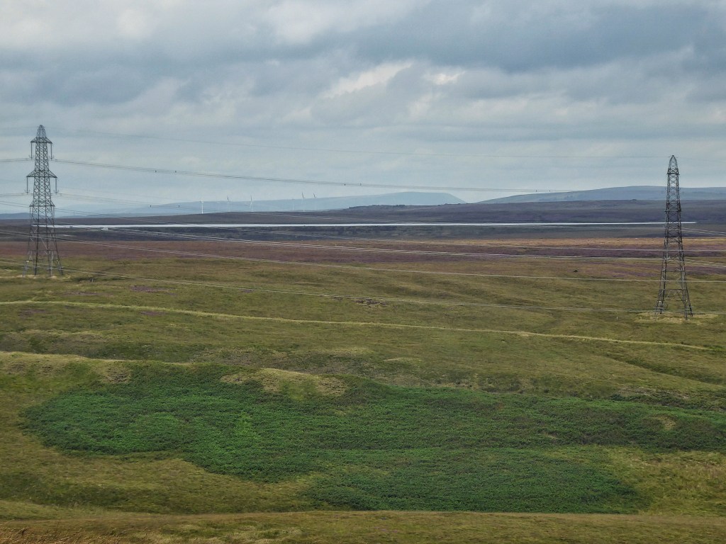
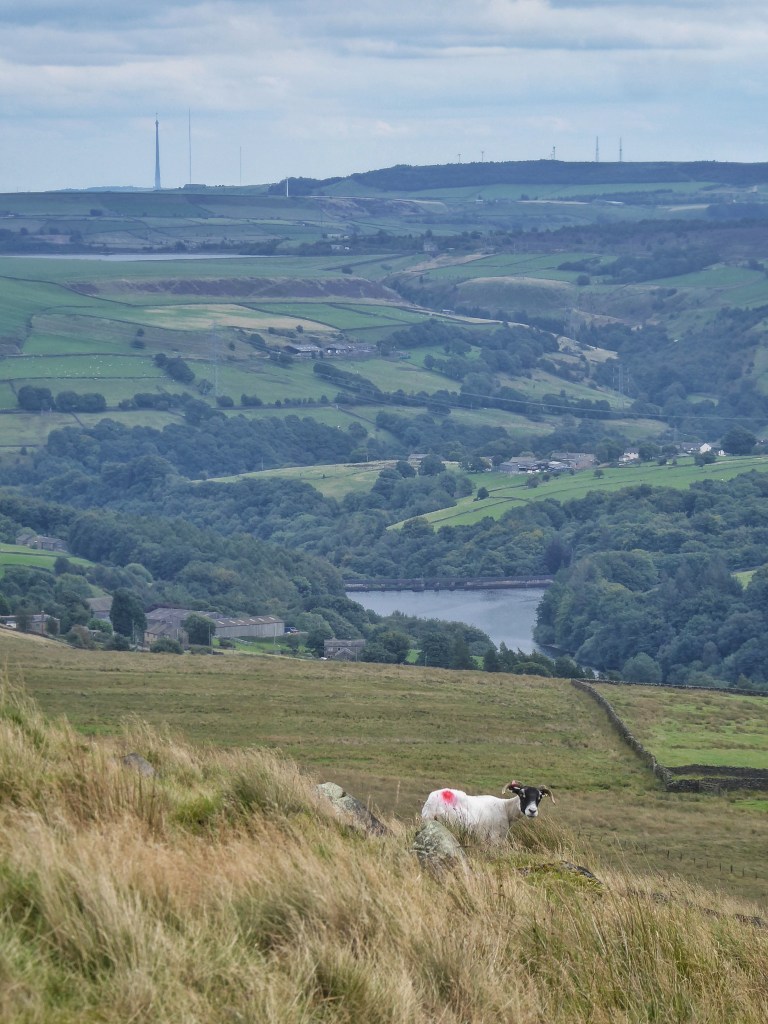
White Holme Reservoir was built for the supply – along with Warland, Light Hazzles and Blackstone Edge reservoirs, and Gaddings Dam – of the Rochdale Canal. Today, it is owned by United Utilities for the supply of Greater Manchester, although the surrounding moorland which feeds it and three others is owned by Yorkshire Water. Moorland restoration work continues above its choppy waters, with contractors harvesting and baling heather for the blocking of eroded channels and gullies. Richard, one of Moors for the Future’s conservation officers, strides up Byron Edge on Toad Lane, now no more than a shallow depression in the turf, to mark out with canes and white flags where these bales need to be distributed.
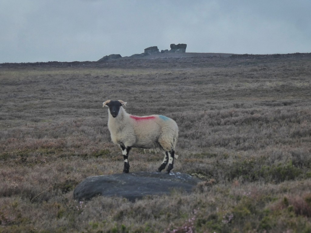
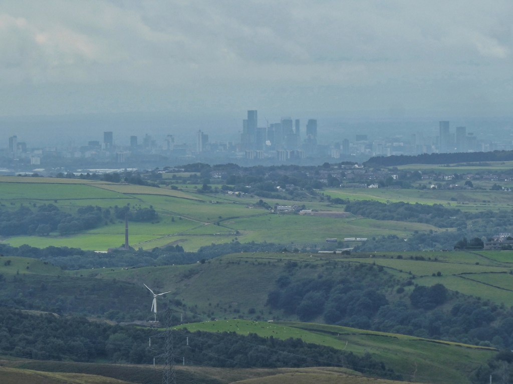
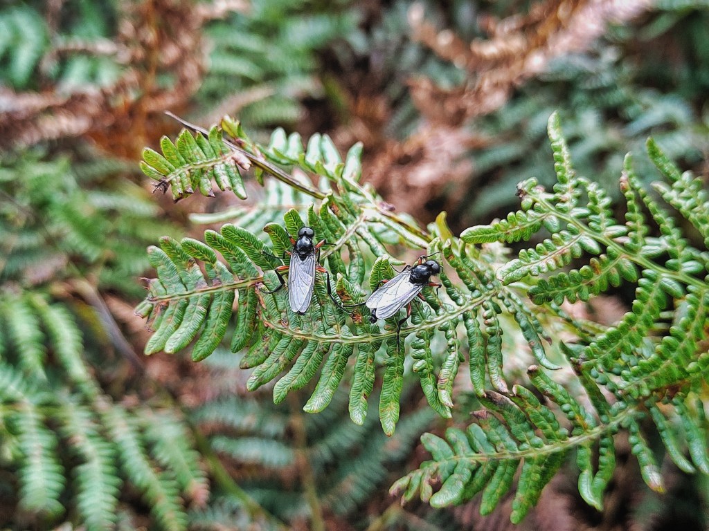
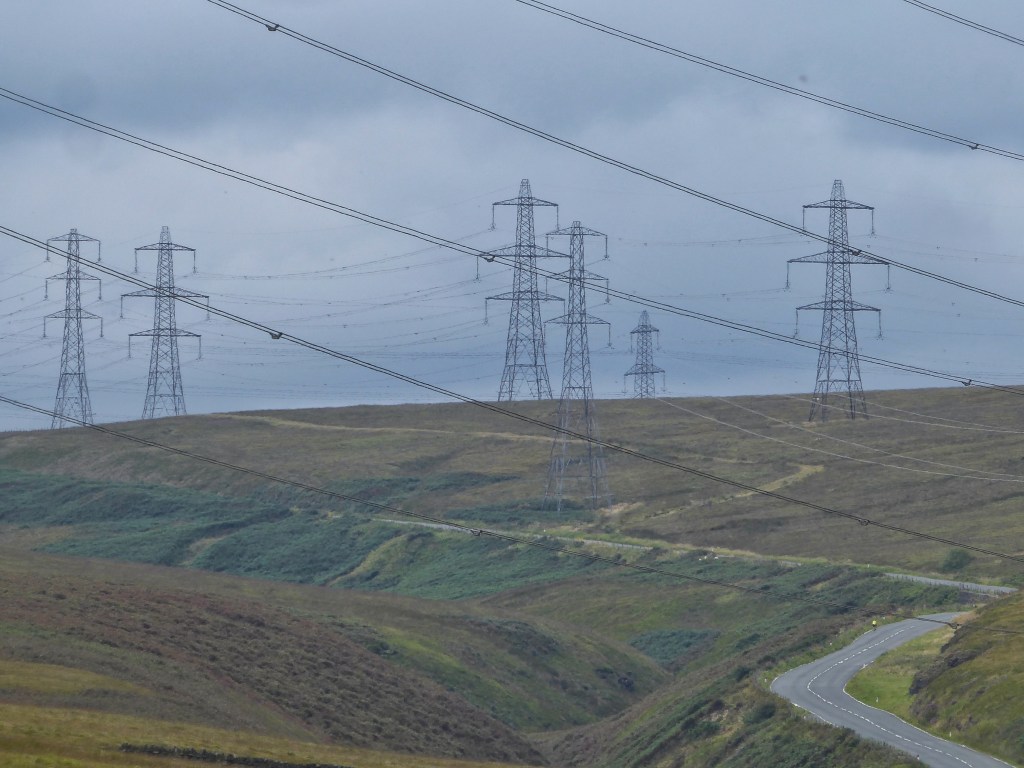
The White House pub, originally the Coach and Horses, hunches under the dam wall of Blackstone Edge Reservoir. Its cooks are busy preparing lunch, furiously mashing vats of potatoes in anticipation of the walkers and trans-Pennine travellers that will be here soon. Across the busy Halifax Road, smoke rises from campfires within Blackstone Edge Delf. Families round the hill beside the Broad Head Drain, then turn to put the views of the towers of Manchester at their backs as they climb up a route that may be Roman on cobbles that may be 12th-century, stopping to take a photograph with the 15th-century Aiggin Stone before continuing on their way up to the gritty escarpment of Blackstone Edge. The other side of the watershed and the county boundary, the cobbles are lost in the bog, and a fellrunner regrets a decision to deviate from the wet trail in the hope of finding drier ground, only to find the going even worse. Red-thighed St Mark’s flies swarm over the wet flushes and among the birthmarks of bracken, and kestrels scan the bony shoulder of Warm Withens Hill.
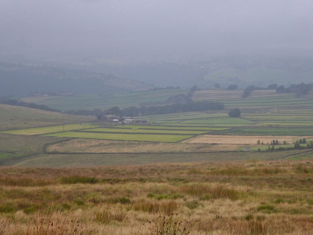
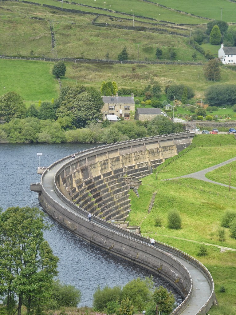
Nowhere hereabouts are these saturated moors not put into the service of filling reservoirs. Drains snake their way along the contours of Rishworth Moor, beyond which there is a stream of another kind, of traffic on the M62, endlessly swapping people and goods from one side of the Pennines to the other. At the head of the Ryburn Valley, Baitings Dam – almost empty in the drought of August last year, the drowned arch of Baitings Bridge revealed in a way unseen since the valley’s flooding in the 1950s – is full to its brim after a wet summer.
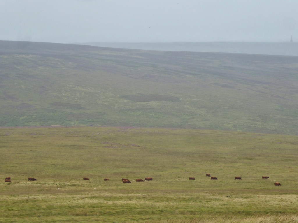
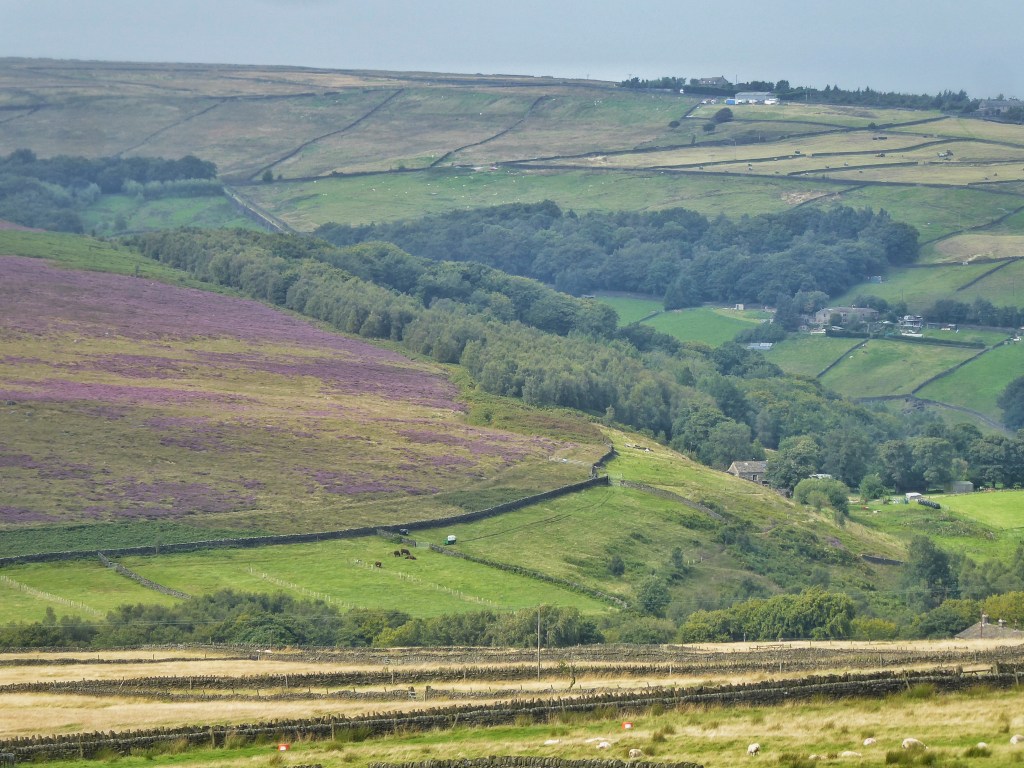
The graceful whaleback of Great Manshead Hill separates the Ryburn Valley from Cragg Vale. It is a monoculture of moor grass on its northern slopes, small herds of cattle that throng around the remote ruin of a stone hut and move through the drifting showers the right approach to breaking up this tough sward. Moors for the Future have been at work here, too, cutting the Molinia to allow in some diversification of species.
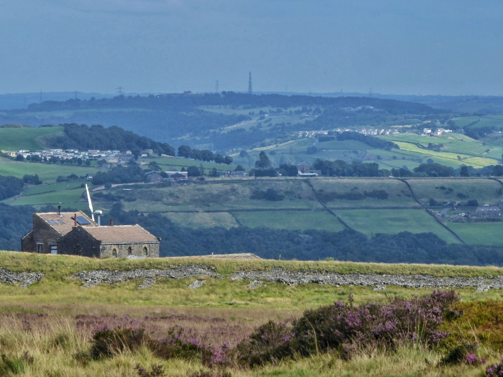
Chattering charms of goldfinch are blown through fields of thistle under the hill, where farmhouses from the ruined to the rustic to the suburbanised – with acres of closely mown grass and vast drives of immaculate tarmac – are scattered across the high ground. The sharp scent of brewing beer is coming from the former Thornber turkey sheds at The Craggs Country Business Park, where Vocation and Little Valley breweries are homed, and where Craggies farm shop are serving their final meals of the day.
A few fragments of open access moorland remain among the fields: at Crow Hill, where a flock of gulls whirl over the trig point before settling in the delicate young grass of a reseeded pasture; at Aaron Hill, where campers at the century-old Aaron’s Campsite kick a ball to each other and the stoves are lighting for dinner, and Arthur King of Pitts Farm is remembered for his five decades of tree planting and his scout leadership; and at Nab End quarries, where a spaniel splashes in a pool and a sweet chestnut bristles with its fruits.


That is a BIG walk👏. I’ve often wondered how London Road got its name. Do you have more info about its function? I’ve only hiked it once and there was a scattering of snow on the ground- very beautiful.
LikeLike
I have never come across an explanation for why it was called London Road. The only hint at its function I’ve come across it as a scheme to employ the Fielden mill workers during the cotton famine of the 1860s, but there is some evidence against that, which is that it appears on the 1848-surveyed OS map. Perhaps, then, it was upgraded in the 1860s, but it certainly existed in some form prior to that.
LikeLike