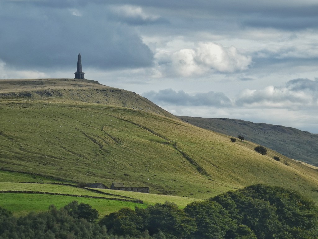
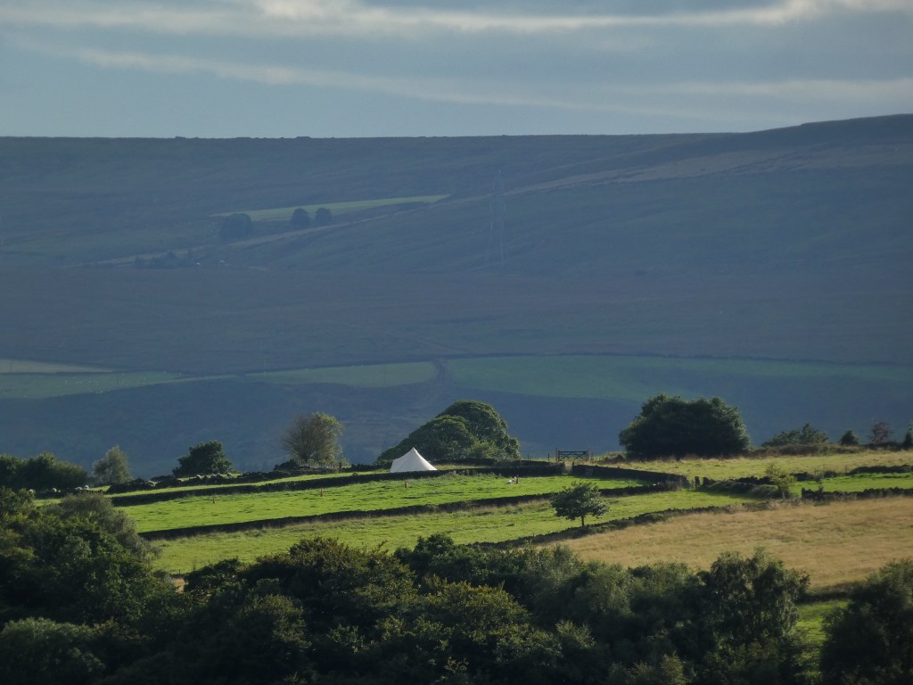
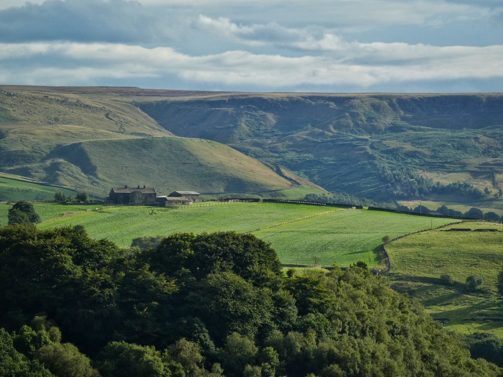
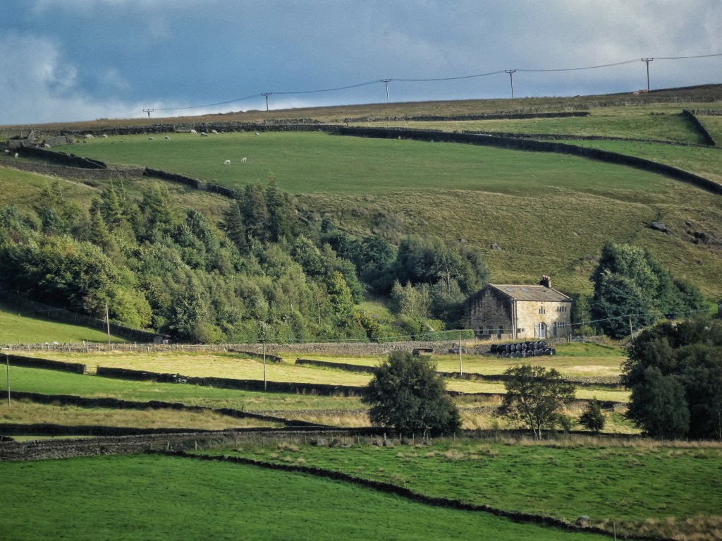
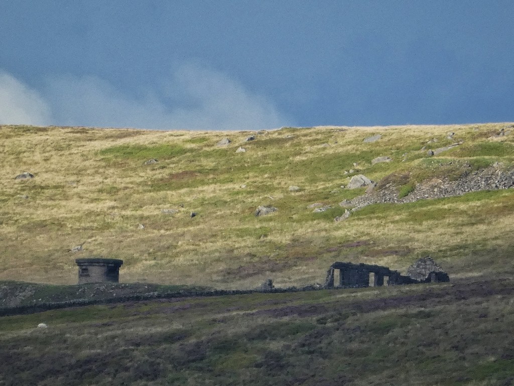
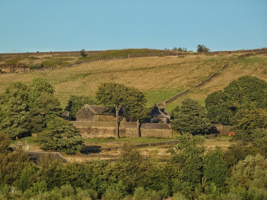
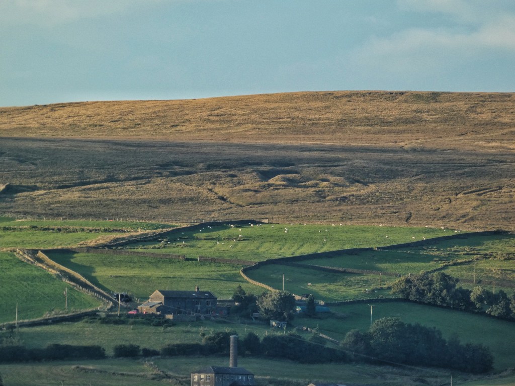
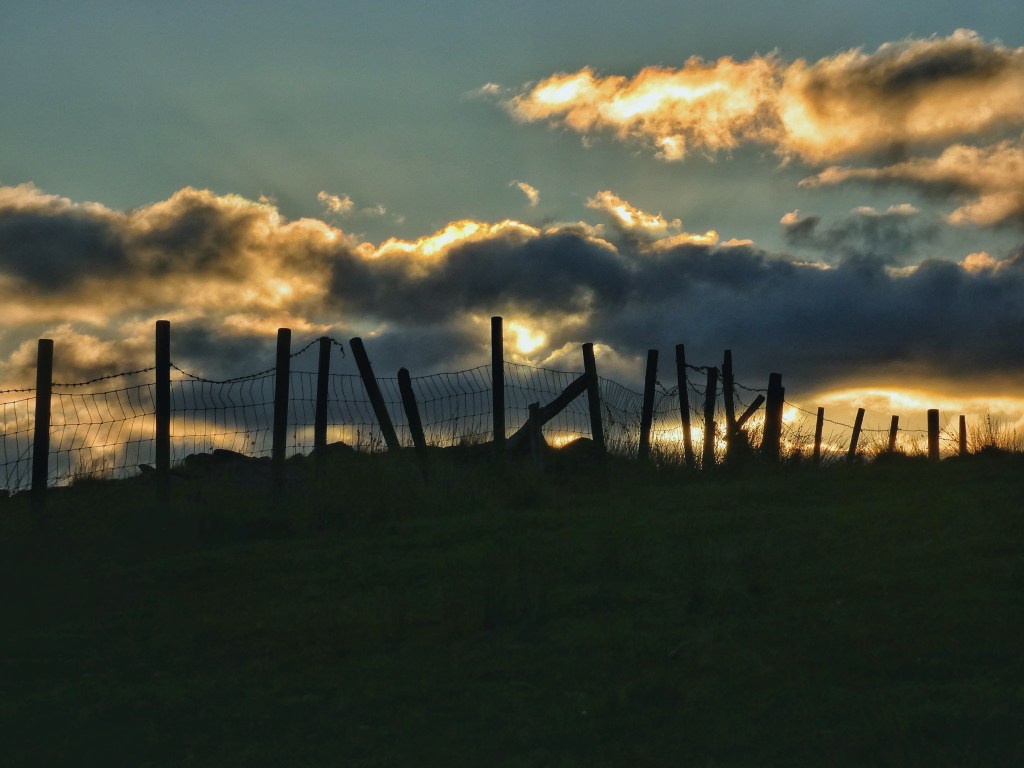
A coolness to the air. Swallow alarm calls and the gentle, tentative fluting of bullfinches. The Horsehold herd are slumped in the mown meadow beside their barn. The sun washes over and revives the tired woods, picks out a few favoured farms and settlements of the valley, giving them each a brief time in the limelight. It blesses Kilnshaw Farm in Erringden, where Albert Lumb farmed cattle, pigs, sheep and poultry until retiring to a valley bottom smallholding after the winter of 1947, and from where his son Edgar, born at Kilnshaw in 1923, recalls the thuds and flashes of bombs striking Manchester during the Second World War. The Providence Methodist New Connection Chapel, relinquished by its dwindling congregation in 1994 after more than a century of worship, gleams above Midgely. The houses of High Lane, perched at nearly 1100 feet on the edge of the Norton Tower estate, built on the grounds of James Ambler’s handsome mansion with its landmark tower, are briefly illuminated for all to envy the views they enjoy. The three Horsewood farms crouch at the top of their green fields under the shadow-crumpled, quarry-pocked Langfield Edge. Two white beacons shine in splendid isolation: a bell tent in the flat fields above precipitous Common Bank Wood, and the trig point on golden plover-haunted High Brown Knoll. Farms former and still working – Manor House, Nell Carr, Saughes, High Royd, and the Mount Skip Golf Club that was once Great Mount – climb up Wadsworth Lane, out of the shadows to the purpling moor.
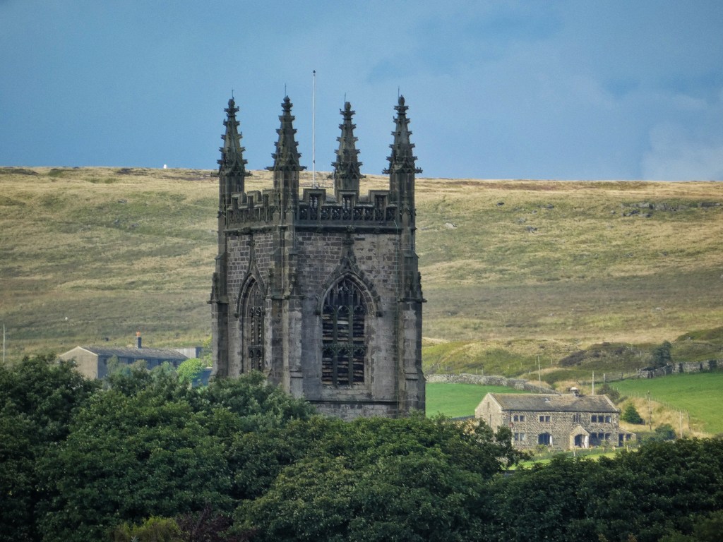
This benign evening is followed by a whole day of rain. The headland of Heptonstall is shorn of its usual prominence of the tower of St Thomas the Apostle Church, which performs a disappearing act in the low cloud. The sheep at High Hirst Woodmeadow are damp, but showing no signs of the sheepishness that they should, having been caught climbing up on the wooden rails of the guards intended to protect the fruit trees and nibbling at the leaves. Volunteers have been to erect additional defences for the apples, both dessert and cookers, pear, damson and walnut, 76 specimens in all, heritage varieties carefully chosen by Mark – Fillingham Pippin, Howgate Wonder, Rosemary Russet, Beurre Hardy, Merryweather and 32 others – all for the community to harvest, if not the sheep.
The rain is appropriate on the opening day of the Environment Agency’s new Flood Information Centre. Christian and Debbie are welcoming local residents in and showing them the plans for the long-awaited flood alleviation schemes, promised in the wake of Boxing Day 2015. The works were first earmarked for 2018, but it is approaching eight years since the floods and they remain in the ‘detailed design’ phase, with construction now not due to start until October this year on the Erringden Hillside scheme, January 2024 for the Stubbing Holme Road scheme and for between 2024–2027 for the main Hebden Bridge scheme. Christian explains the astonishing complexities of the task that justify these delays, and how some of the initial designs, now refined and in some cases wholly scrapped due to improved modelling, would have been ineffective. A mixture of raising and strengthening river walls, improved surface water drainage, a new pumping station, property resilience measures and natural flood management, collectively costing £70 million, aims to protect 400 properties from all but the worst floods for up to the next 100 years. As one of the display boards points out, Hebden Bridge has been flooded 56 times in the past 200 years. This partly explains why it was such a small settlement until the coming of the canal and railway, and the coal they could transport, which led to the construction of mills in the valley bottom. No longer reliant on water power in the tributary cloughs and in need of a larger population of workers, the town quickly boomed from a minor river crossing, and while many terraces climb the hillside, there are hundreds of properties well within the river’s reach. The protection these works will afford, despite the disruption they will bring for a while, cannot come soon enough.
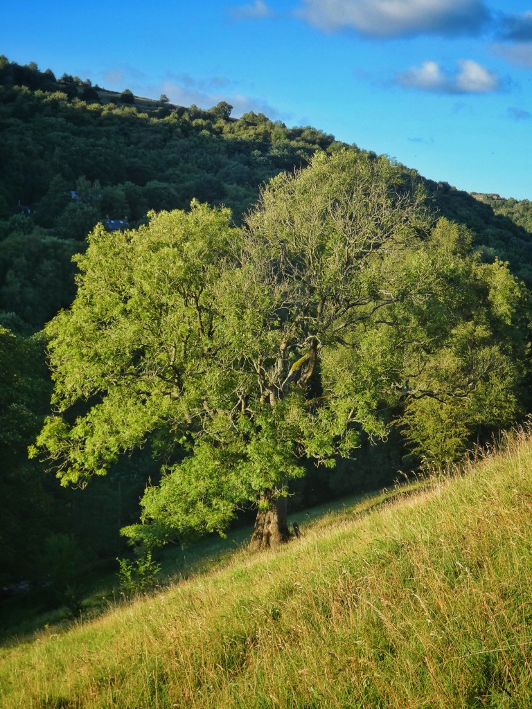
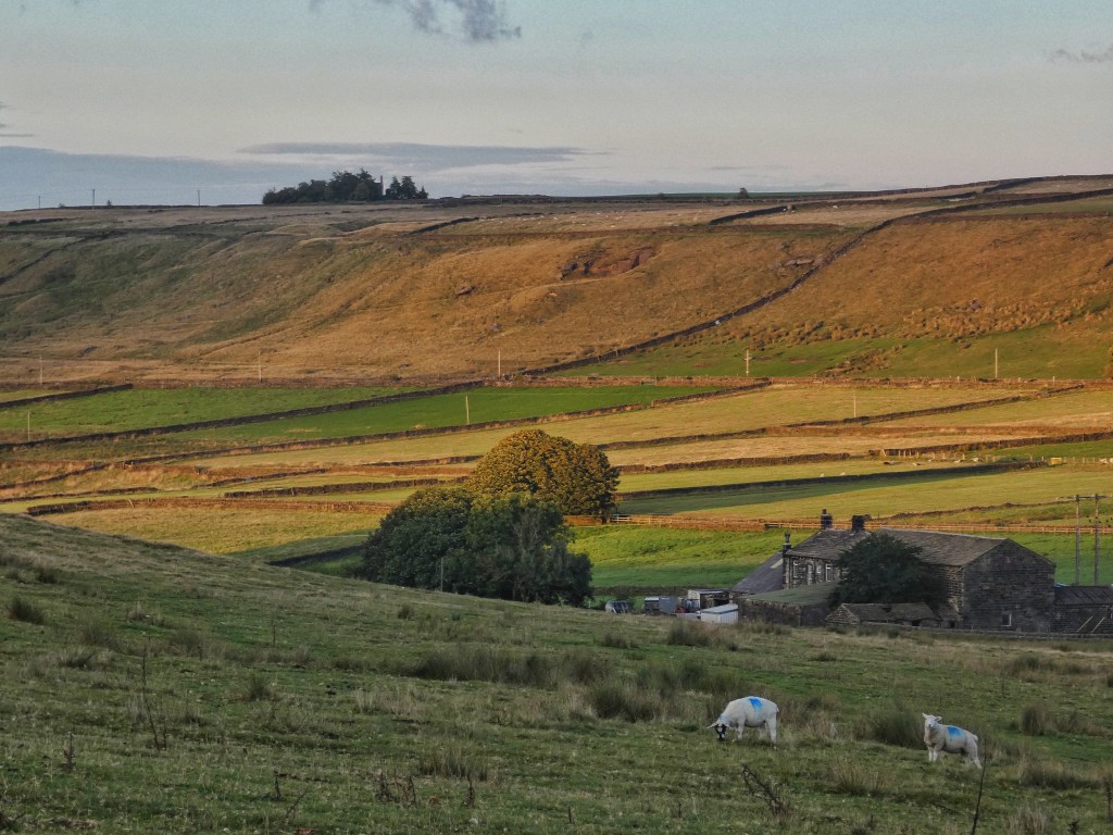
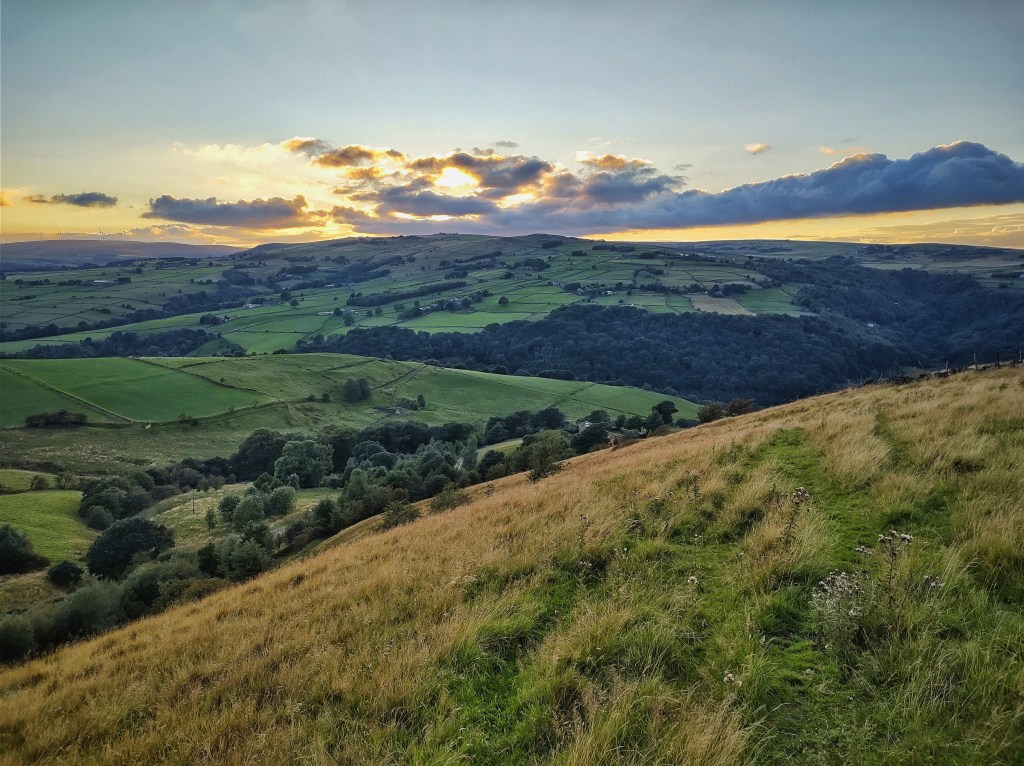
A mile or so upstream of Hebden Bridge, the constricted valley sides face off against one another. The north-facing hillside is Callis, from the surname of Adam de Calys, that is, Calais, as it was spelt on the first edition of the OS map. As such, for a time, the south-facing hillside was known as Dover, the only memory of which now is the house called Dover at its foot. In winter, the sun rolls along the skyline of the shadowed Calais hillside, lighting the Dover side until it dips behind Callis Nab. But in summer, Calais has its time in the sun in the long, fine evenings when the sun crosses the narrow, busy channel between them and Dover is sunk in its own shade.
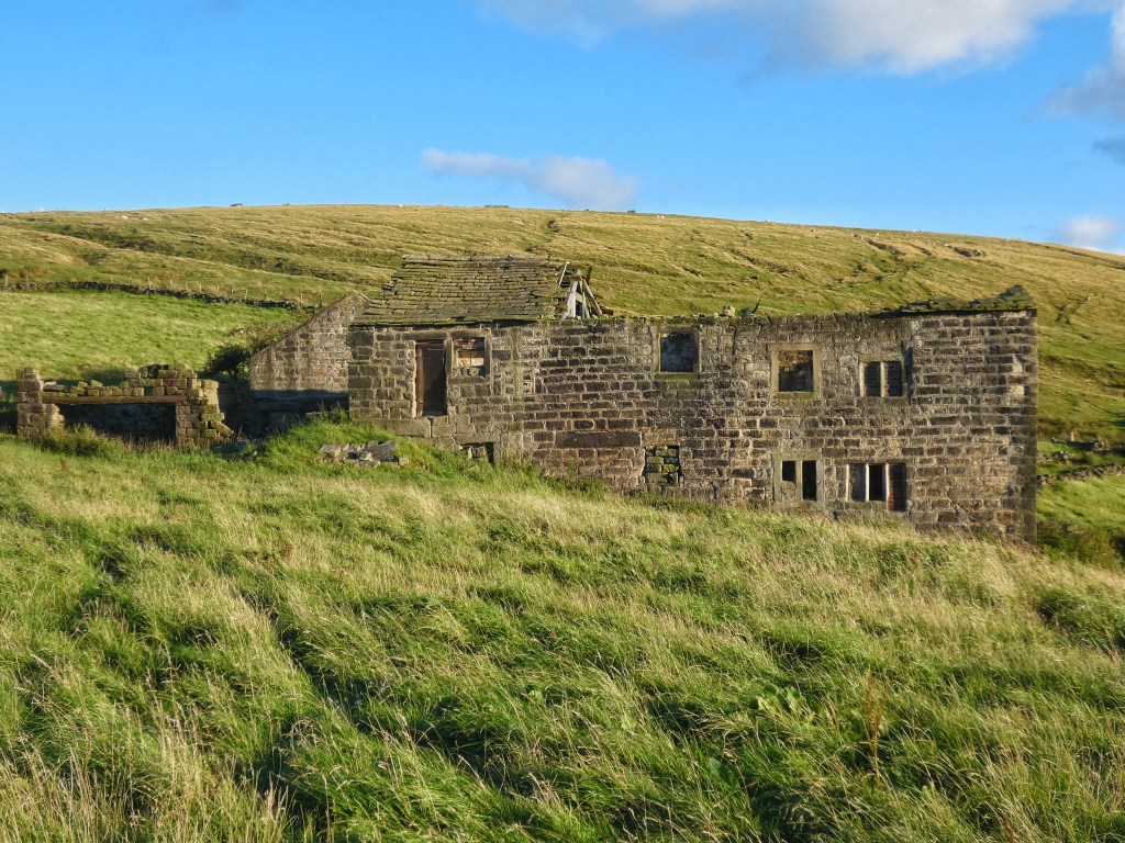
The evening after the full day of rain, the pastures on the Dover slopes, which Edgar Lumb farmed for nearly 20 years from Lacy House after his move down from Kilnshaw, are veiled, while Calais basks. The fields that Callis Wood Farm has defended from the press of woods on three sides for long centuries are green-gold in the intensifying light. Beside Goose Gate, where poor young Jack Birch lost his life in a barn fire, and whose grasses have not been grazed since a horse was tethered to its magnificent ash a decade ago, oak and rowan seedlings are appearing of their own accord. An old track from the ruin of the Birch’s home to the vanished terrace of Lower Callis meanders under a little plantation of beech, from nowhere to nowhere.
In the crook of the Pennine Way track as it about turns at the farm, David has fenced a new field into existence for his sheep to graze. Having made light work of the thin grass under the birch, they are now moved elsewhere, and the grass is re-growing. Siskin scratch their calls in the gauzy branches, and two jackdaws perch on the pair of jutting boulders in the topmost open pasture.
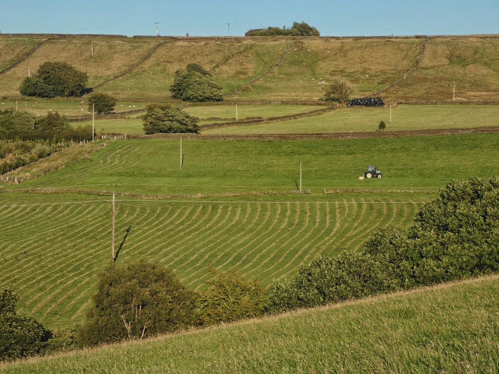
A trio of tractors are mowing, at Edge End, Horsehold and in Mark’s meadow at Lower Rawtonstall. It has not been an easy summer for bringing in the forage crop, with very few days suitable for drying before baling. But with a couple of fine days forecast and the sun now skimming over Staups Moor, the fields are being combed into windrows, each casting a shallow shadow. Yet despite the sands of summer running down, the forecast’s bait is not being taken everywhere, with Marsh Farm and Erringden Grange still surrounded by a haze of bent, and all quiet at Lower Rough Head, its spring murmuring in the stillness under the wych elm, its swallows undisturbed on the wires.
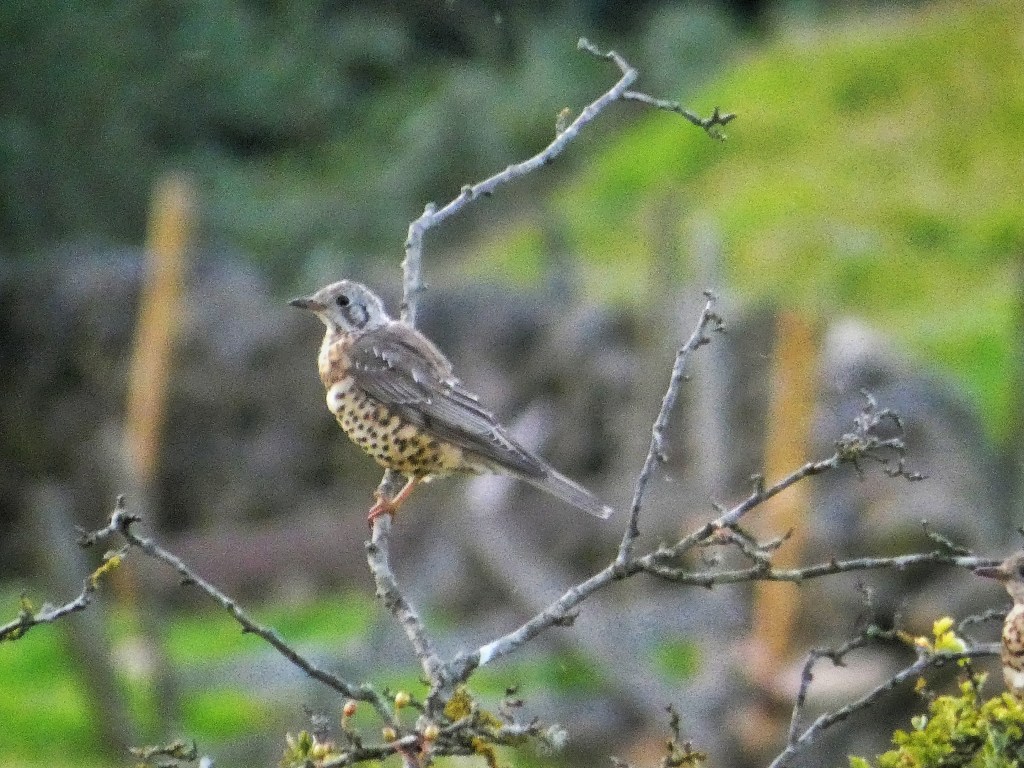
Above Lodge, where a mower is also at work on its considerably smaller task on the lawn, a hare surfs over the ancient embankments on the shoulder of its hill, their purpose lost in time. A jay launches out of the sycamore at Thorps, and a dozen-strong flock of juvenile mistle thrushes silently moves through the as-yet-unripe berries of the hawthorn and holly that is colonising its fields. Low down among their wool-wreathed trunks, a redstart skulks. Not known to breed in this part of the valley, it may already be on passage, preparing for its migration back to Central Africa.
There is music in the gloaming: fiddle and accordion notes float from an open lighted window in the dark woods, accompanied by the burnished lowing trumpets of cattle and the piercing Herrmann-esque strings of a tawny call, and underneath all, the bass drone of the tractors, working on until the very last of the light.