A peal of thunder and a sudden deluge announces the abrupt end of the long heatwave and intense humidity, with an 11-degree dive in the temperature between 2.00pm and sunset. The days that follow have much more normal highs in the upper teens, with showers and fitful sunshine and a bluster of westerlies. But before that, there is one more morning and midday when the moors bake.
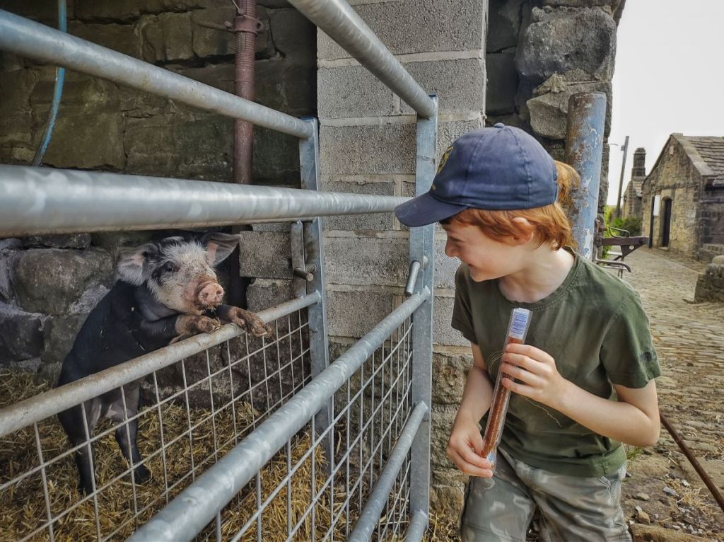
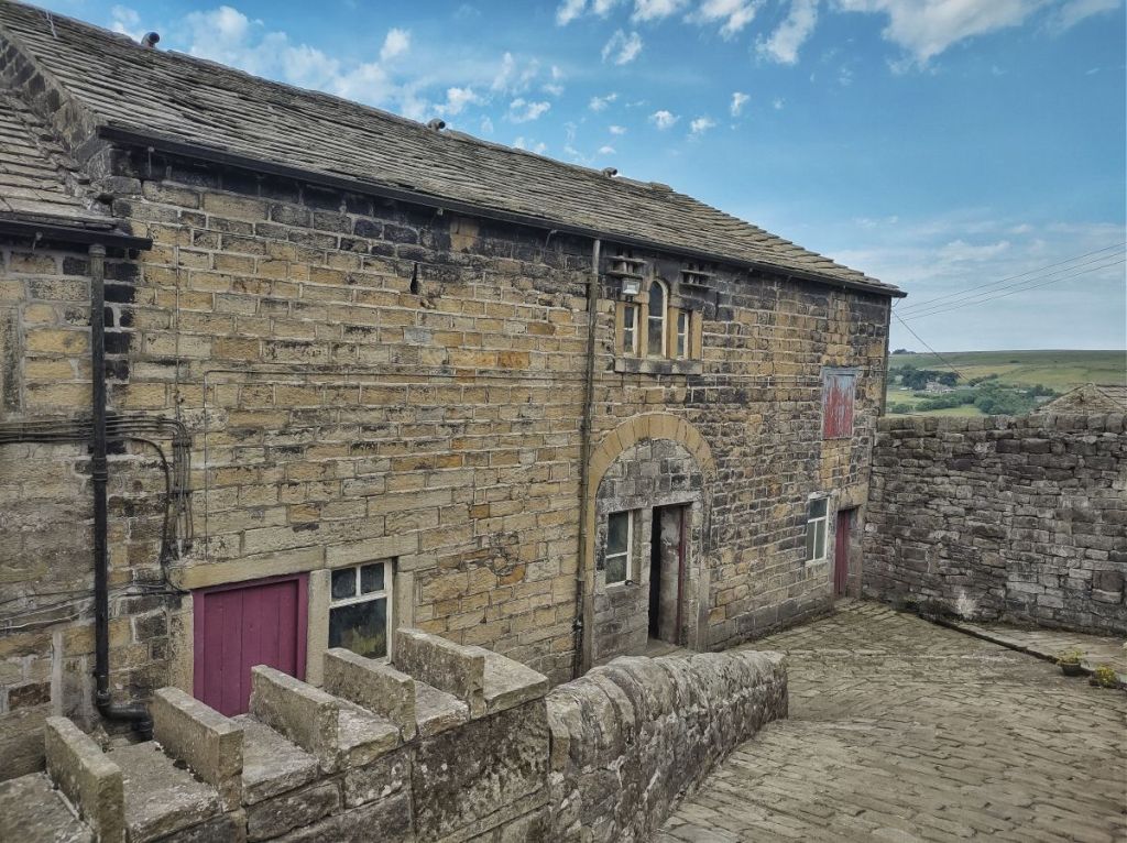
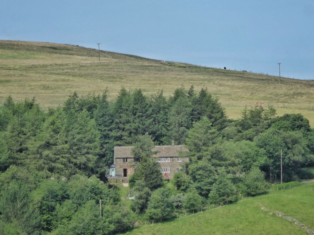
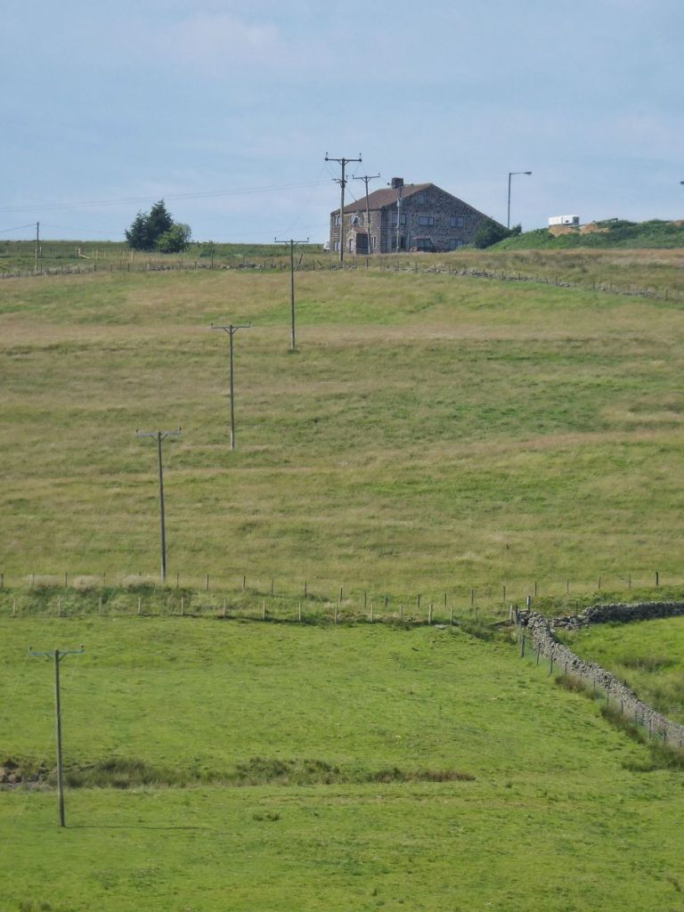
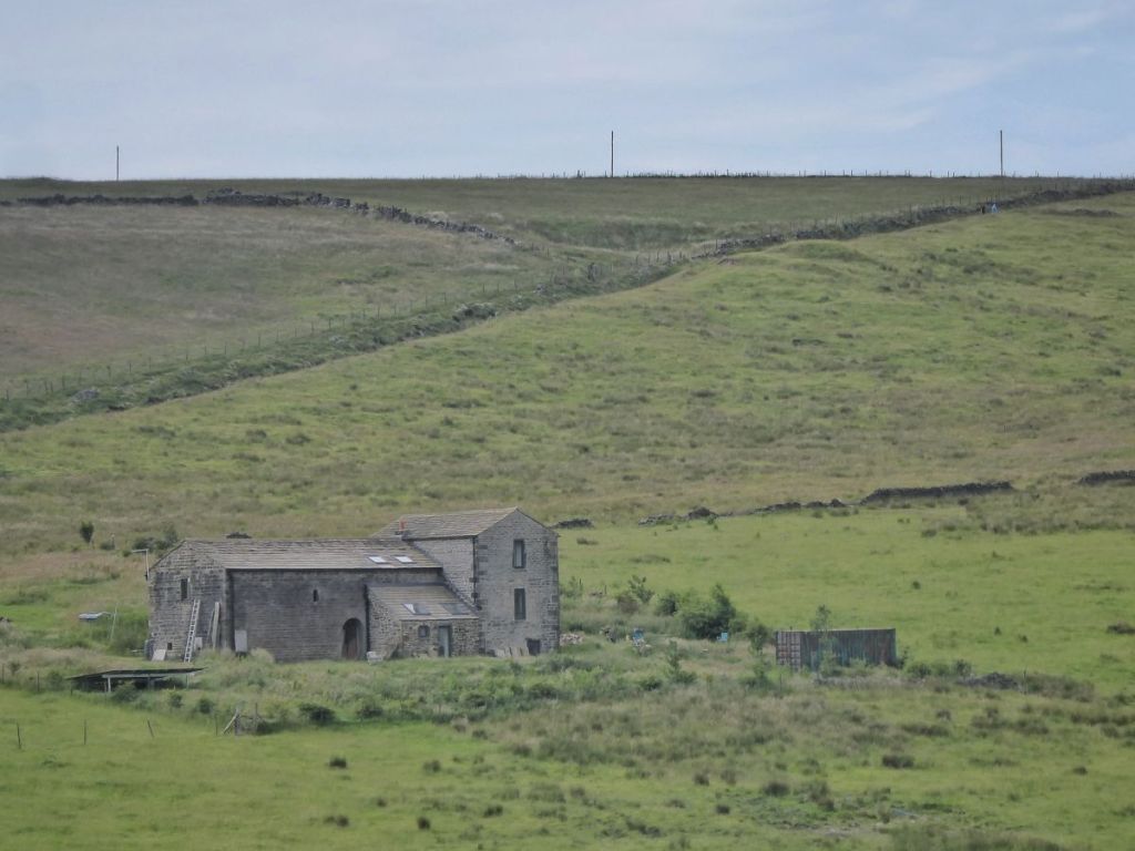
May’s Shop, open every day except Christmas Day between 7.00am and 9.00pm since 1974, is drawing customers along Edge Lane just as it has done for the last half a century. By bus, by car, by bike, on horseback and on foot, they come for the Sunday papers, for a loaf of bread, for a chocolate bar or an ice cream, for a cup of tea and a chat. A horse is tied to the iron ring on the 17th-century farmhouse while its young rider pops in for a snack. A family of walkers sit on the picnic bench opposite the early-19th-century barn, now used as a store for the shop. It is still a working farm, though; since the death of May’s husband Michael, her son runs the farm, originally hens, pigs and a milk round, but now mostly sheep, although from a little shed beside the shop there is still the squeal of 12 piglets jostling for space when their mother slumps on her side in the hay.
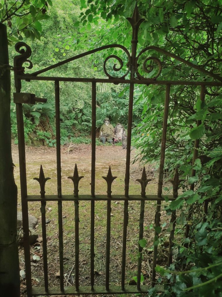
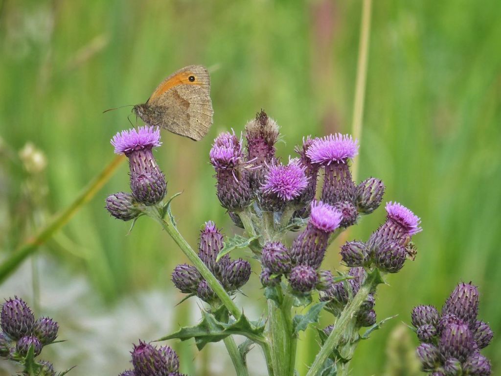
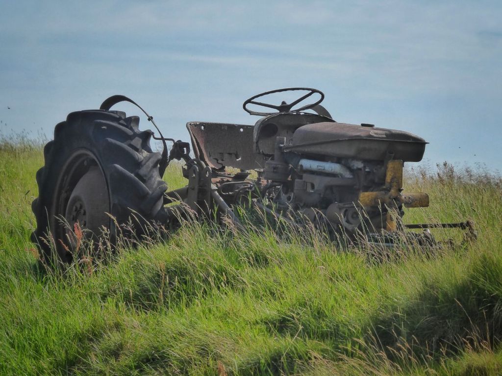
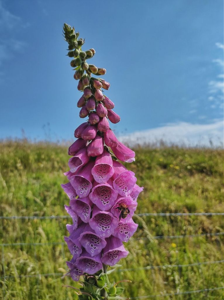
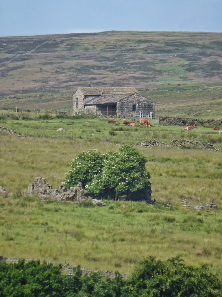
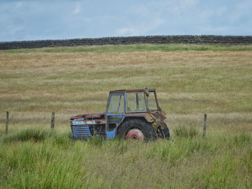
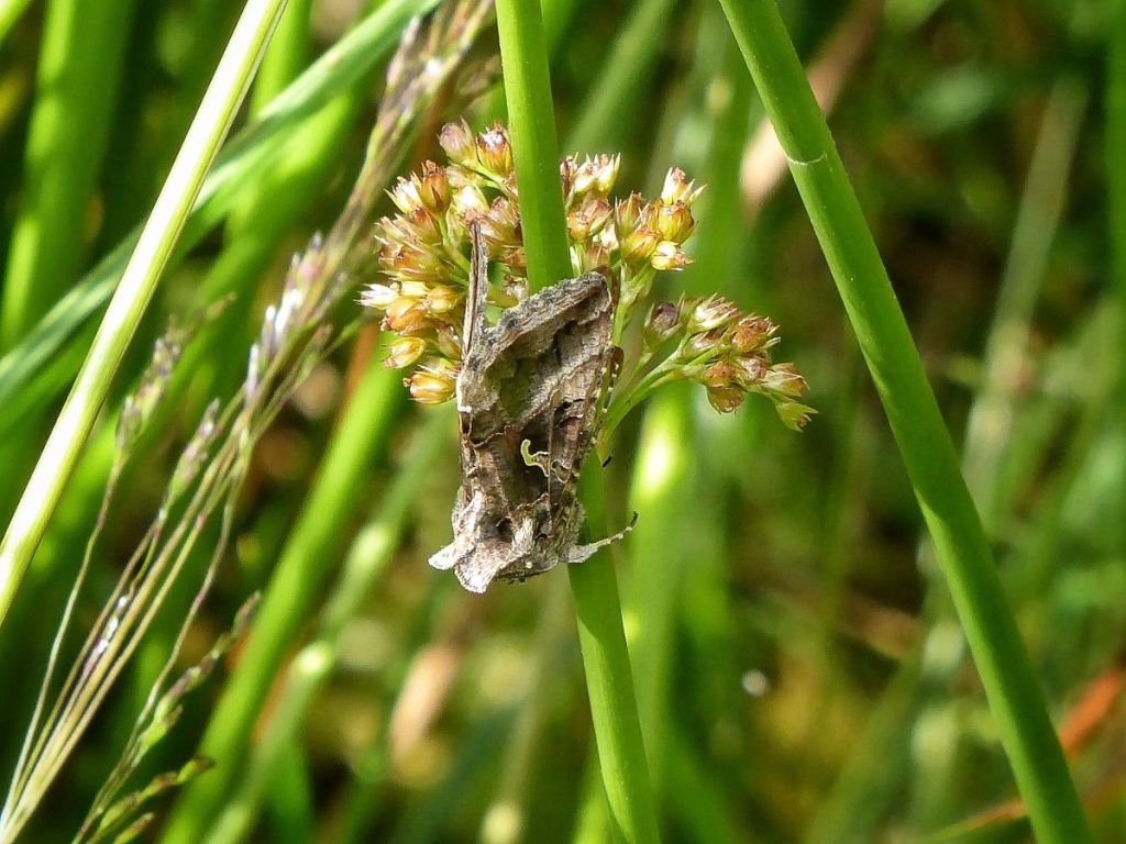
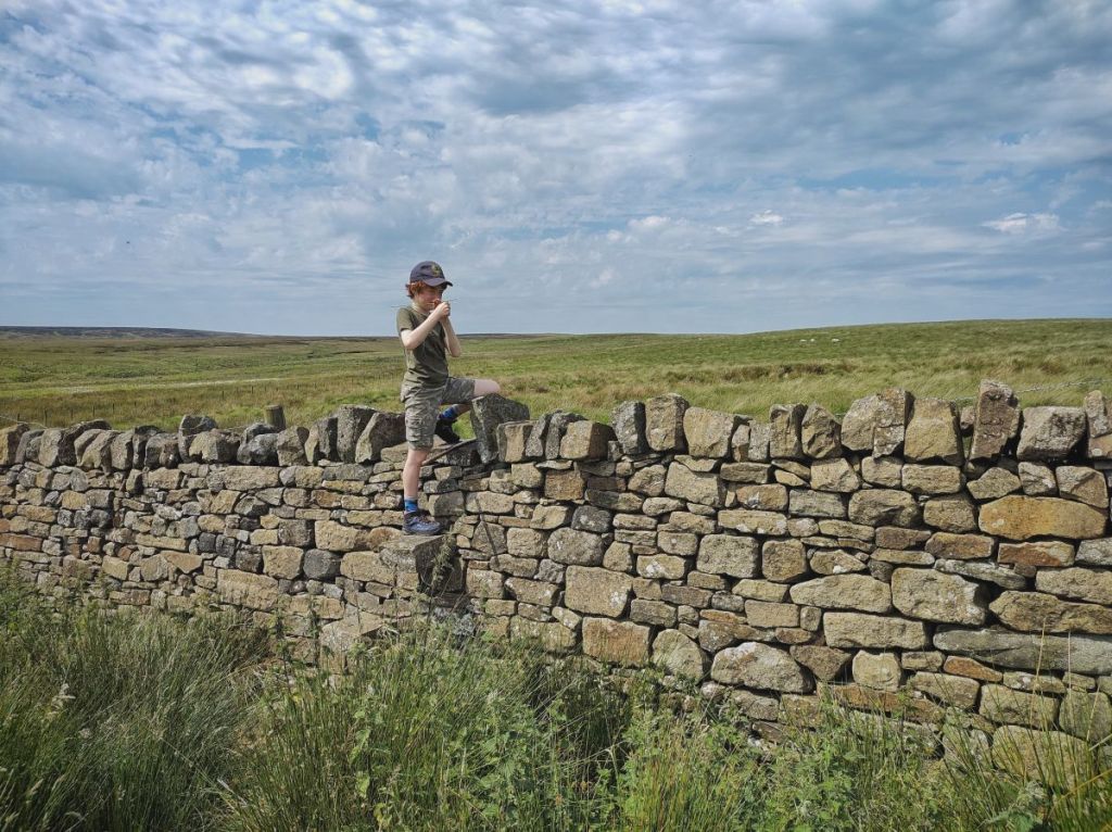
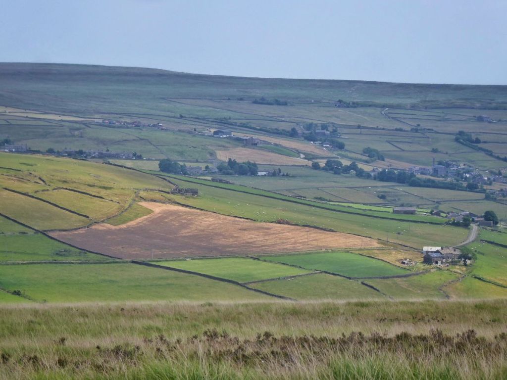
Edge Lane threads together the string of farms on the north side of the Colden Valley, and its verges are blooming and buzzing and chirping with life. House sparrows flit between cherry and dog rose and the old garages at the lane’s beginning. By the terrifying scarecrows that many a child has had to swiftly pass with their eyes firmly turned away, foxgloves lean ever further out as their purple or white flowers, into which common carder bees clamber, ascend higher and they become increasingly top-heavy. On and beyond May’s Shop there are the little bell-like flowers of comfrey, cow parsley going to seed, the gossamer geometry of goat’s beard, ringlet butterflies crawling on creeping thistle flowers, grasshoppers chafing among the first ripe bilberries near a long-abandoned tractor. Conkers are forming on the horse chestnuts at 16th-century Old Edge, their fresh green spines yet soft. Beside 18th-century New Edge, recently rescued from sliding into ruination, is its red-tinged chalybeate, an ancient iron-bearing spring spilling into a stone trough. Lane Side has not been so lucky, its dereliction more pronounced today than it was in 2000, when the late Peter Brook, the pre-eminent Pennine landscape painter, set it in snow against an uncharacteristically vivid winter sunset.
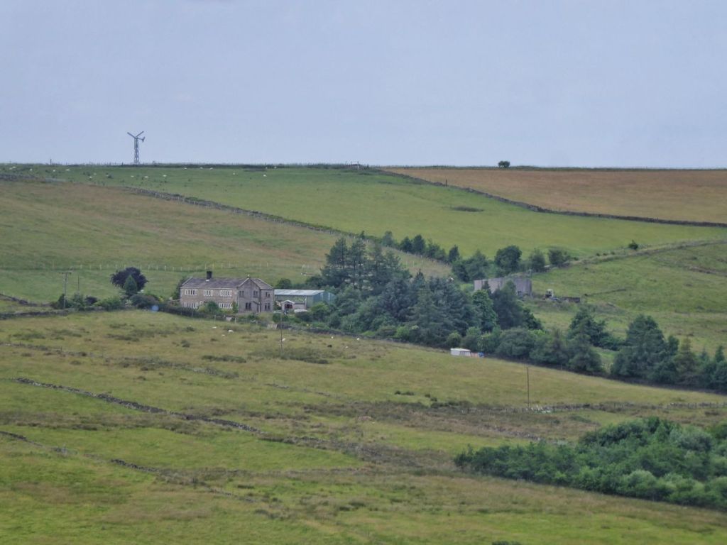
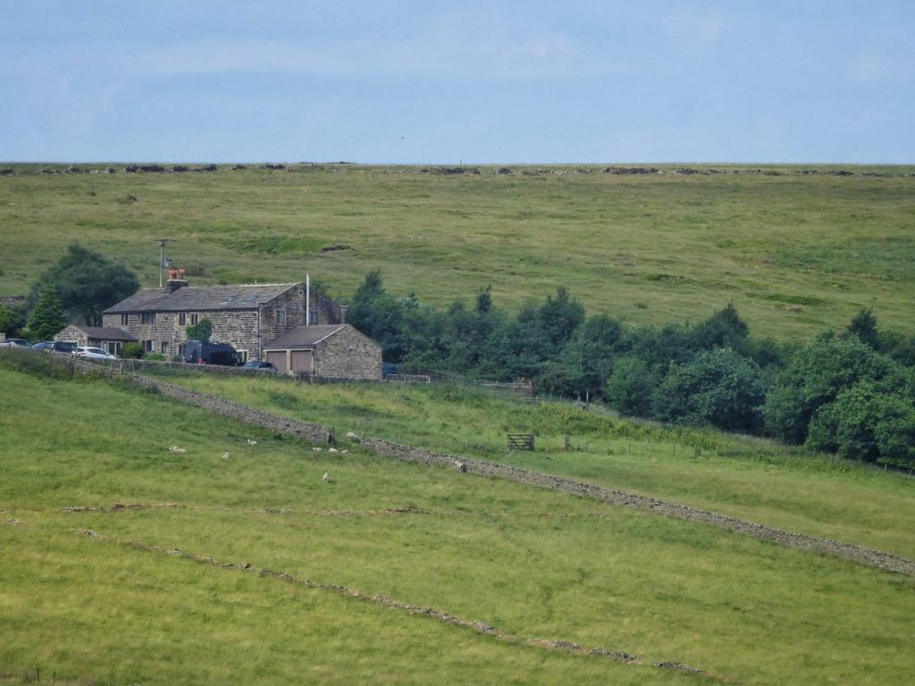
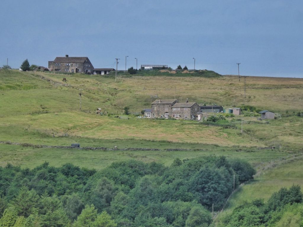
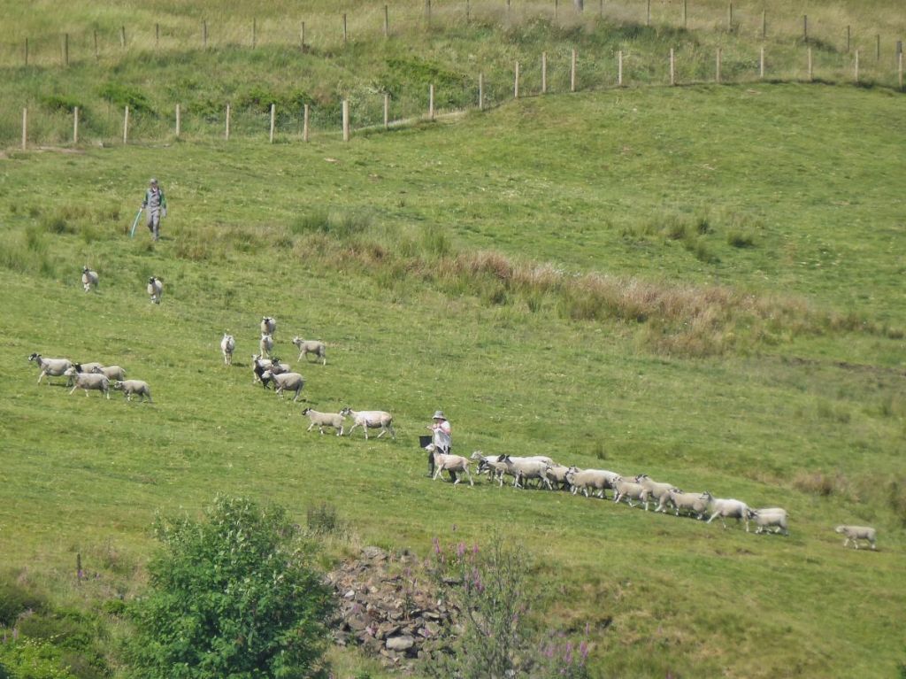
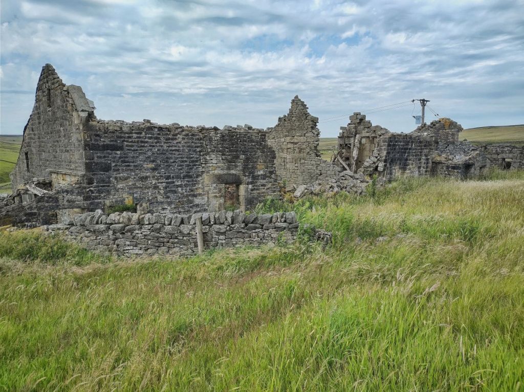
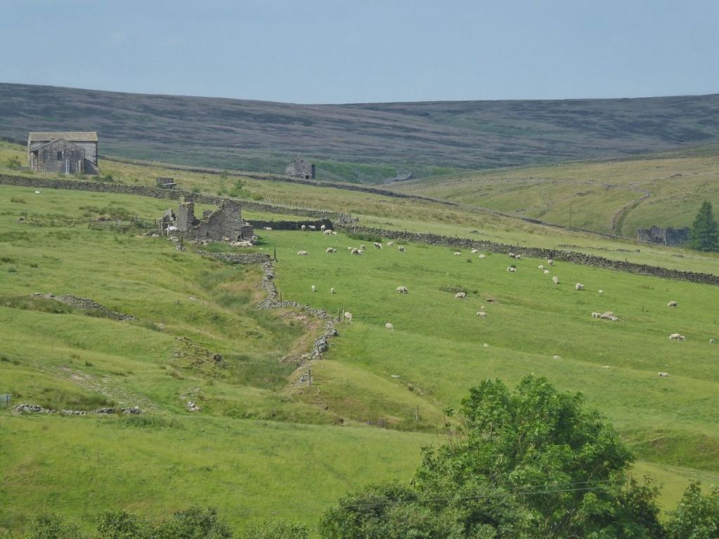
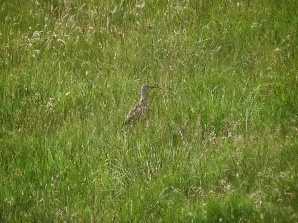
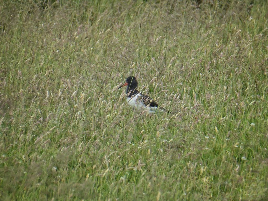
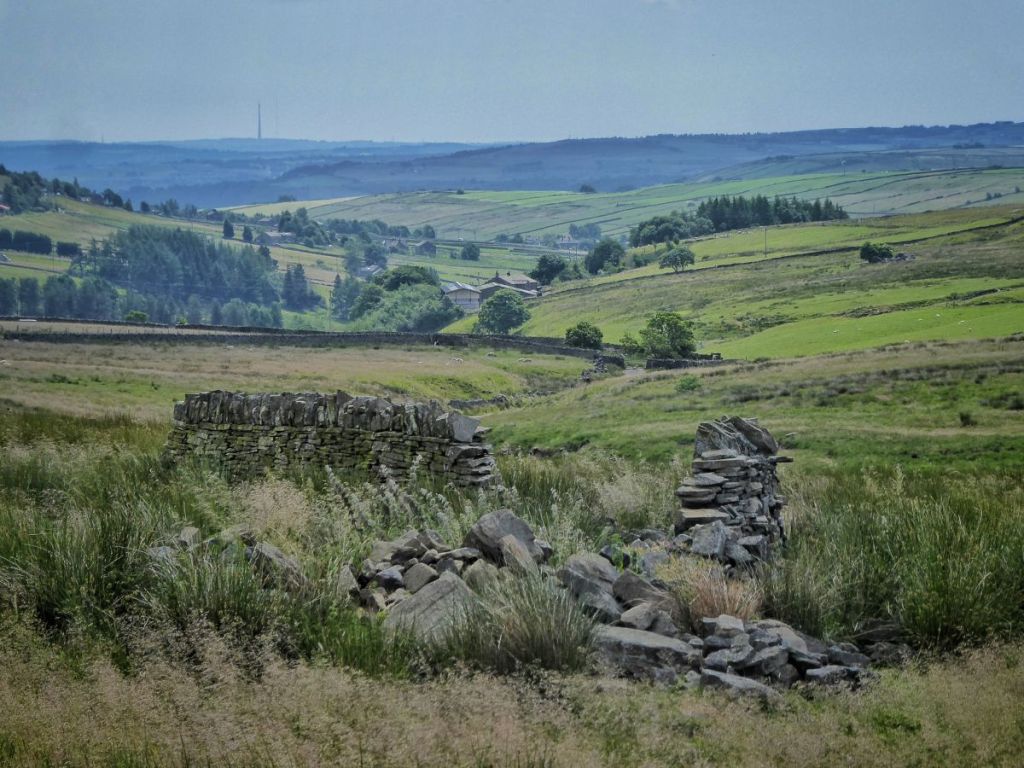
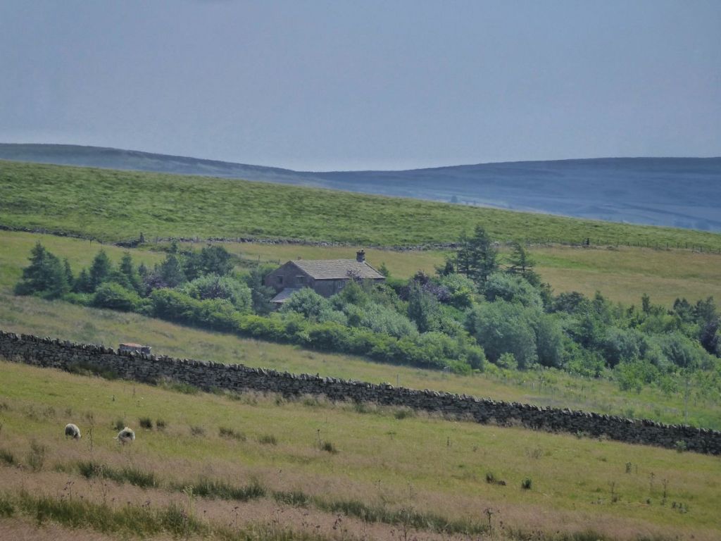
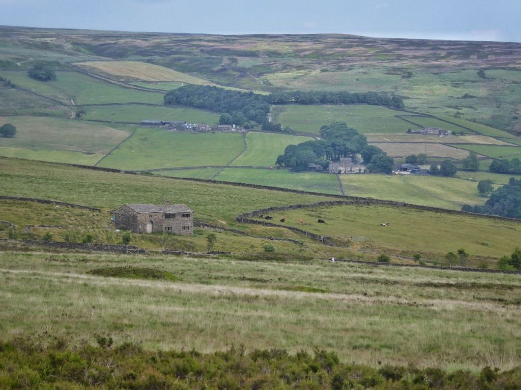
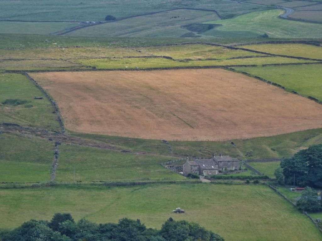
Beyond Lane Side lie 11 more farms in various states of abandonment, from the entirely vanished Ling Bob to the surprisingly intact Pad Laithe. From beside the low remains of Higher Ear Lees come hollers of encouragement as sheep are gathered into a neighbouring field. A curlew lands in a meadow near the shell of Rough Hey, full of flowering elder but empty of people since 1901. Across wide, wild pastures alive with oystercatchers and lapwings among the marsh thistle and rush, was the home – the curiously-named Cabin – of the Butterworth family. On the very edge of miles of moorland, William and Mary raised four sons here and lived on after they fledged, until William died and Mary, in her late-80s, joined their son John at Rough Hey and left Cabin to the winds and winters.
A silver Y moth flits along the collapsed walls among the 18 acres once stewarded by the Butterworths. These were absorbed into Rough Hey’s holding once Cabin was abandoned, and are now farmed by Egypt. The footprint of the farmhouse, cleared away around 1900, has faded in the 150 years since Mary last closed the door, and its memory, like the puffs of pollen released by the rush flowers as the ewes and their lambs wade through them, has drifted away on the summer breeze.
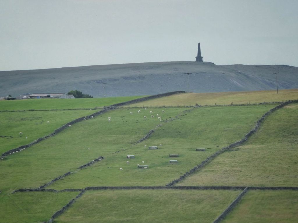
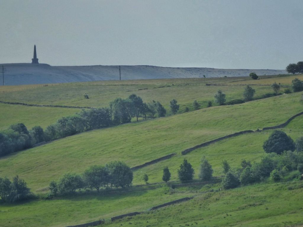
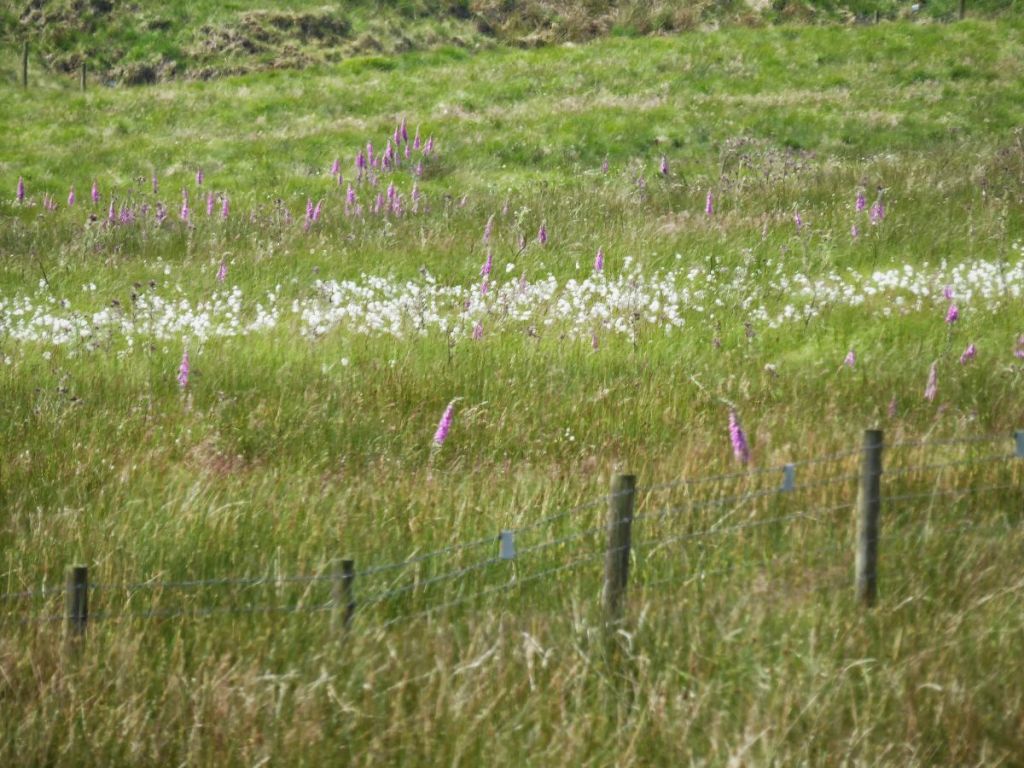
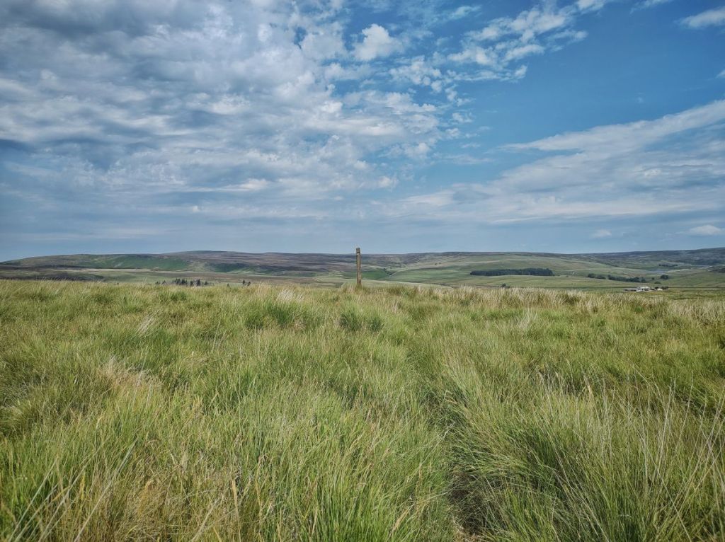
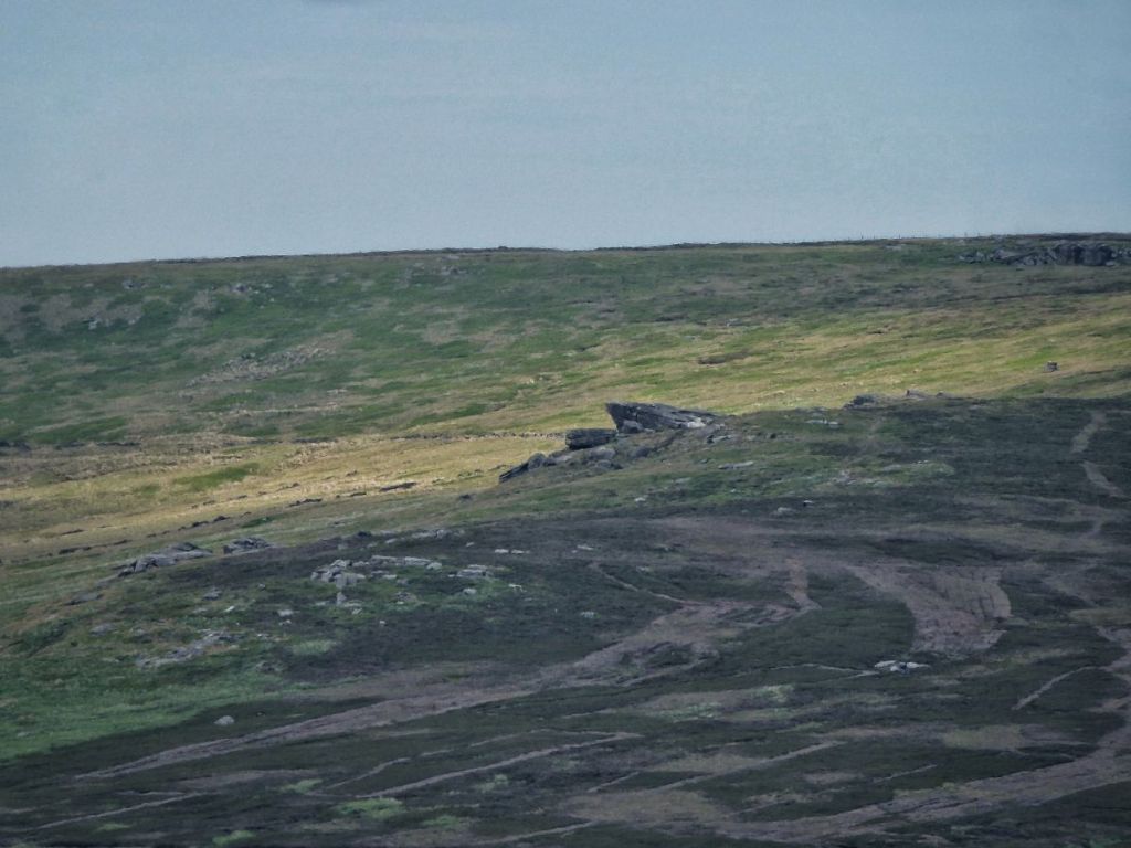
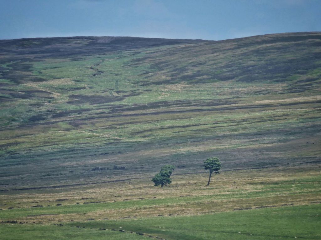
On the other side of its remarkable intake wall, with its three layers of throughstones and which separated the dark moors from the Butterworths’ hearth, white waving cotton grass periscopes up from the green sea of Molinia, and the gentle moorland horizons shimmer in the heat haze. A brown hare bolts to the base of the medieval Reaps Cross and down the hill towards the remains of the farms that bear its name. The shattered parts of this 14-foot ancient stone waymarker for a road long lost were removed from the moor in 2000, repaired by local stonemason Jim Gault in accordance with standards set out by English Heritage, and returned in 2002 to stand in magnificent isolation, no longer showing the way to anywhere in particular, but a destination in itself. Clusters of the pink bells of cross-leaved heath jingle on neighbouring Standing Stone Hill beside its eponymous monolith. Red grouse chicks skulk among the heather in the still-damp maze of the Black Mires.
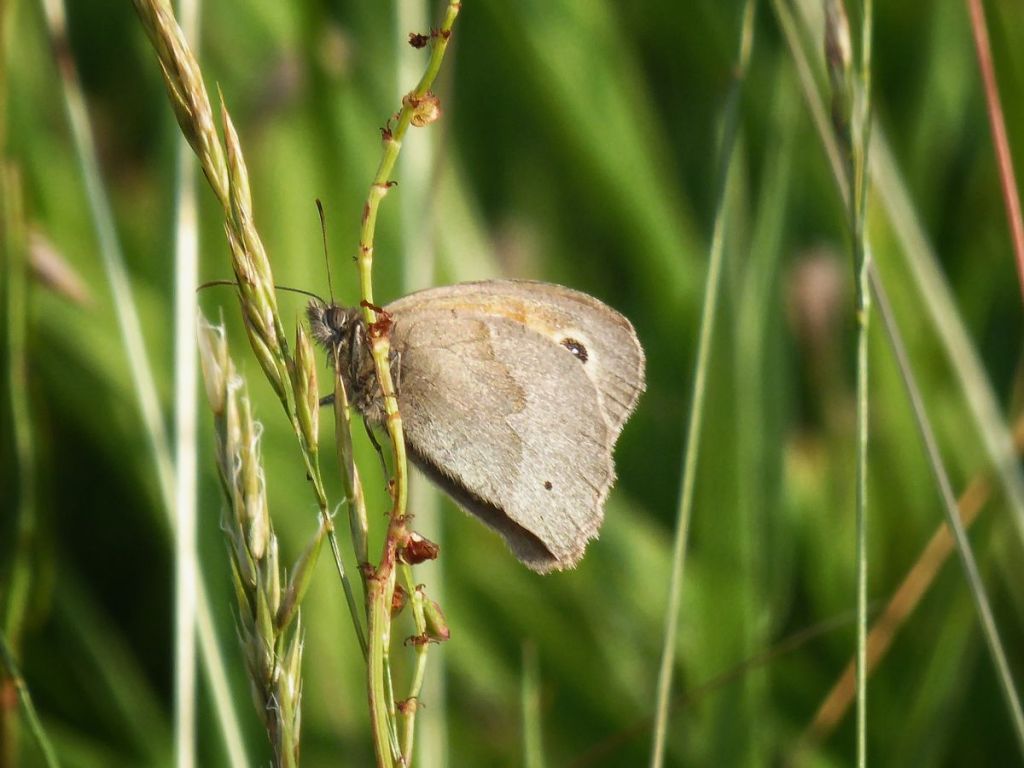
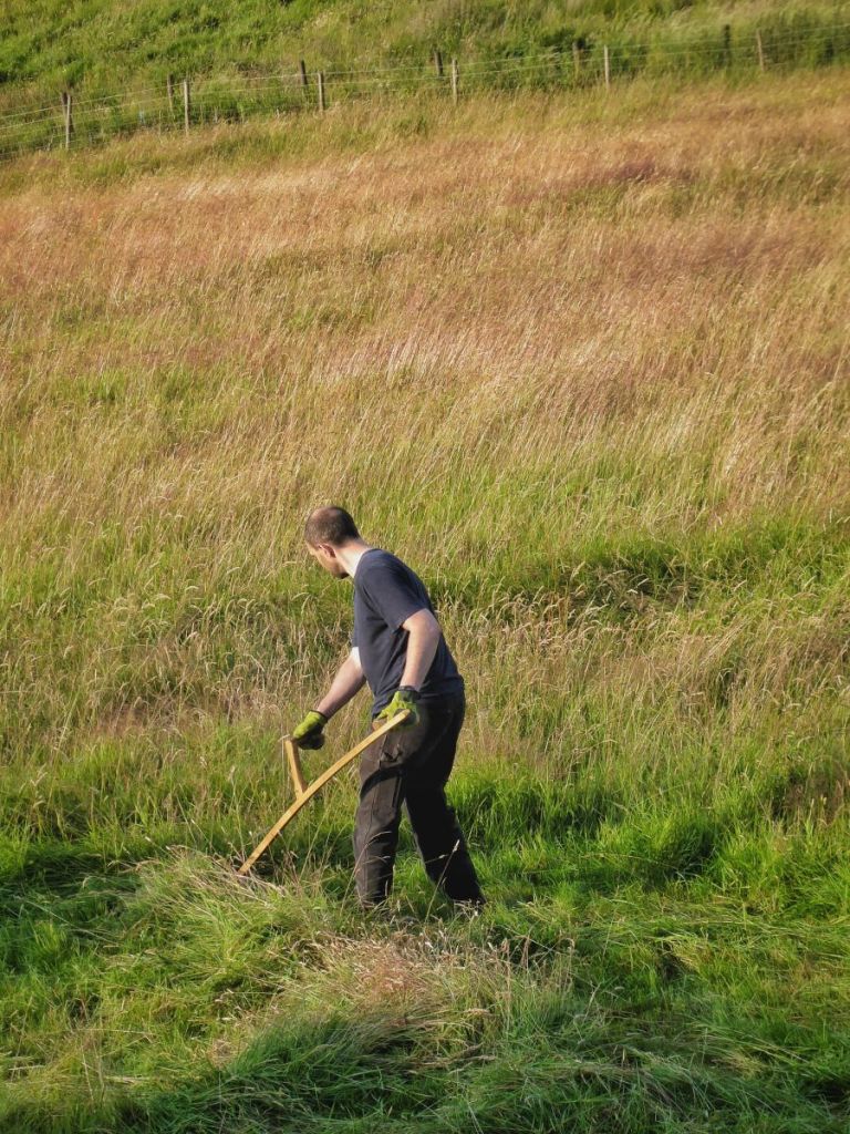
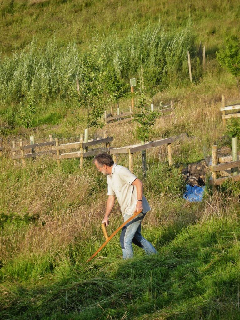
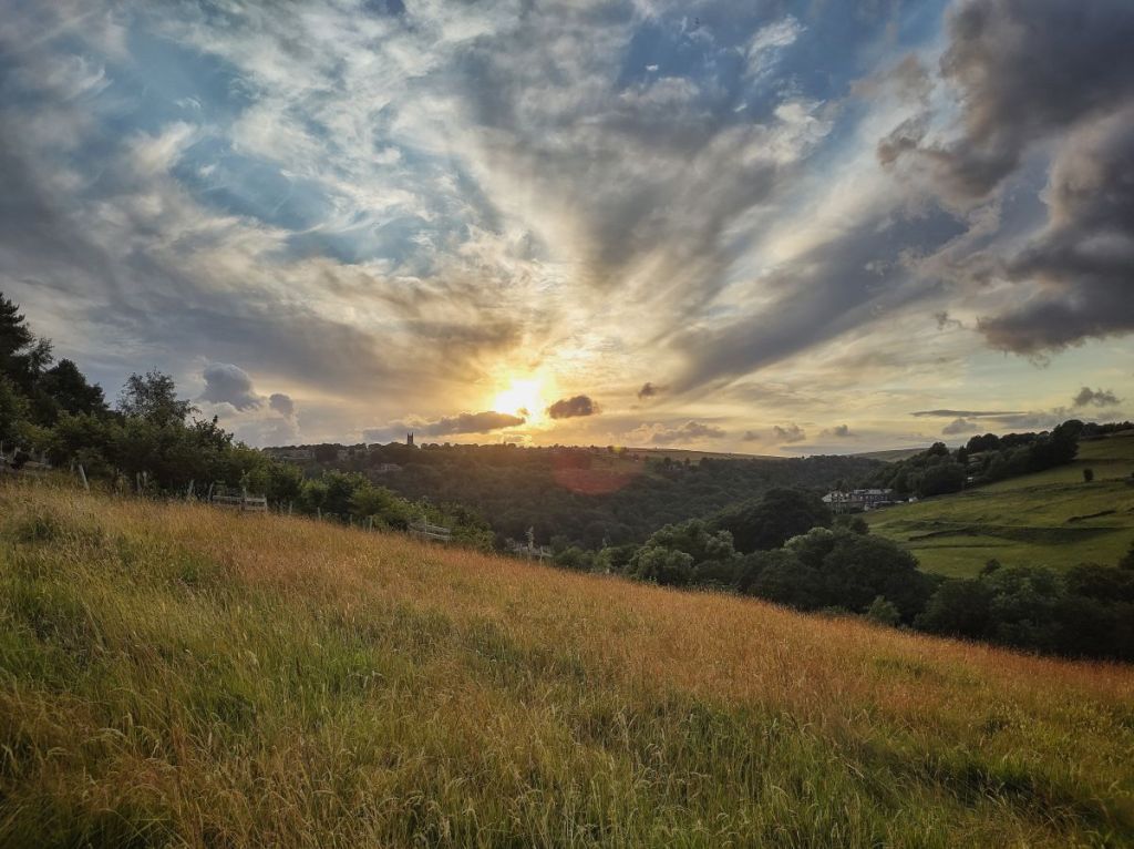
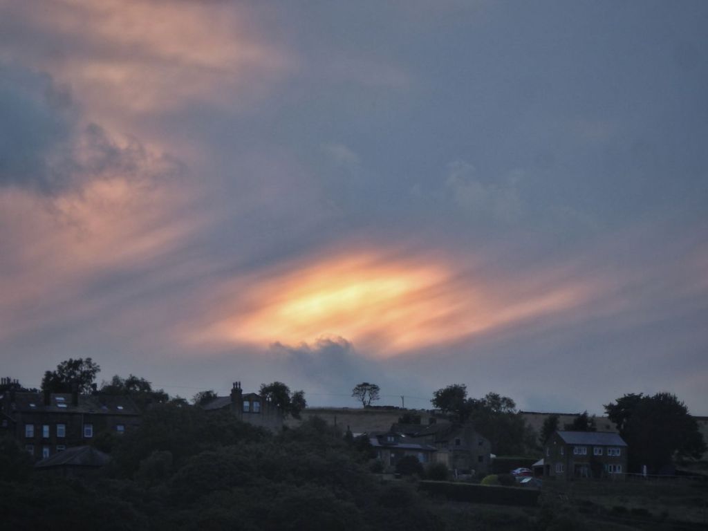
The following evening, scythers set to work at High Hirst Woodmeadow, clearing a few small areas for the coming community activities on National Meadows Day. Meadow brown butterflies rise from the grasses as the sward, golden in the low light but infused with a fine red mist of common bent flowers, is opened up in a preview of the mowing that will come with a much larger team in a few weeks’ time. As the sun hovers over the Heptonstall churches, the calm of the dusk is only deepened by the joyful laughter of children playing in the streets of Dodd Naze above, the ecstatic screams of swifts and the raucous rabble of last year’s jackdaws, life-long pairs already formed but waiting until their second season to mate, hustling for position in the roost at Summerfield.


You covered a lot of ground. Superb photos
LikeLike
Thank you, David.
LikeLike