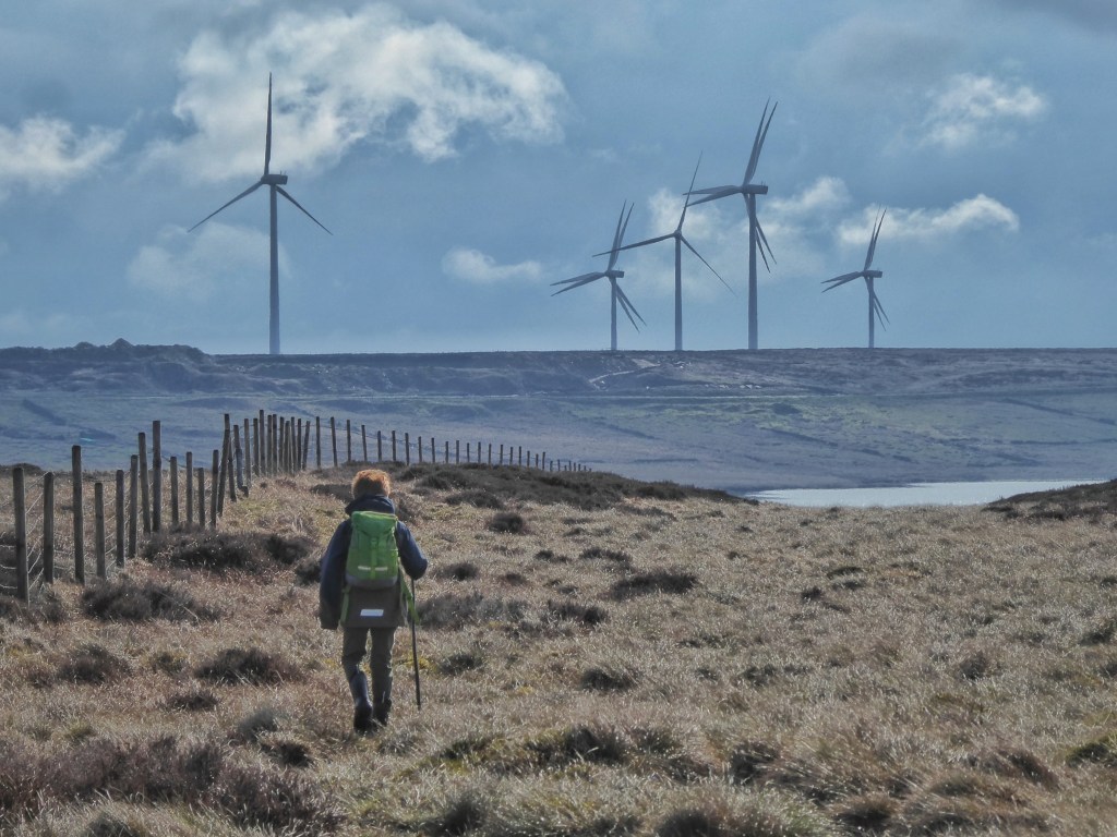
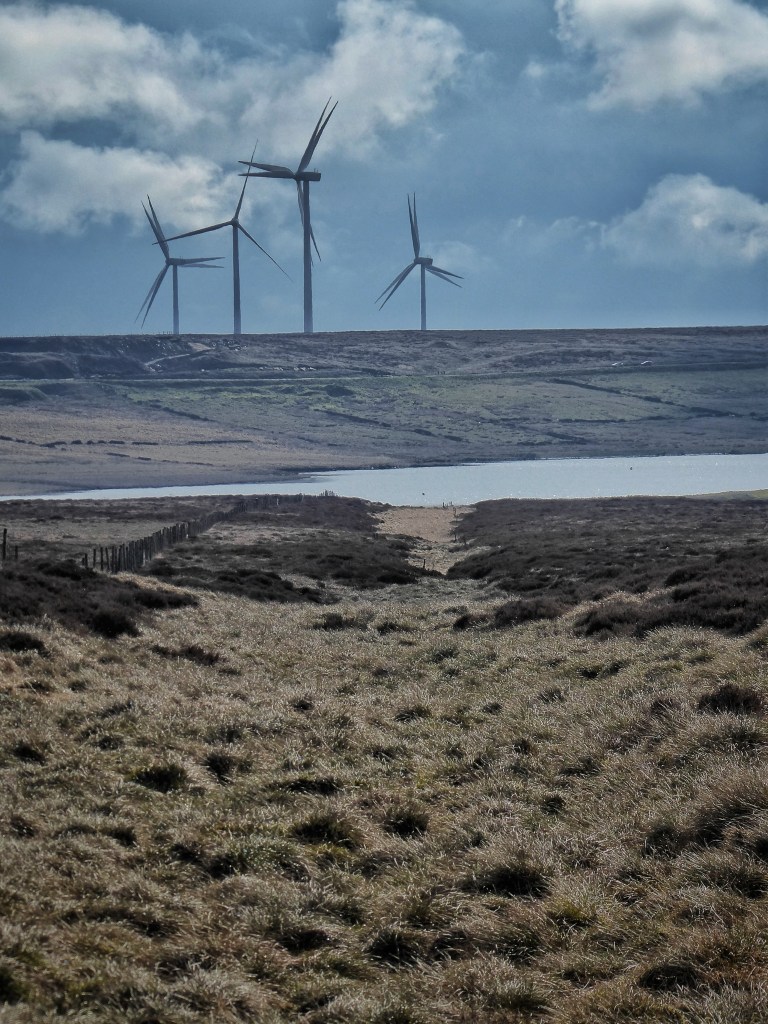
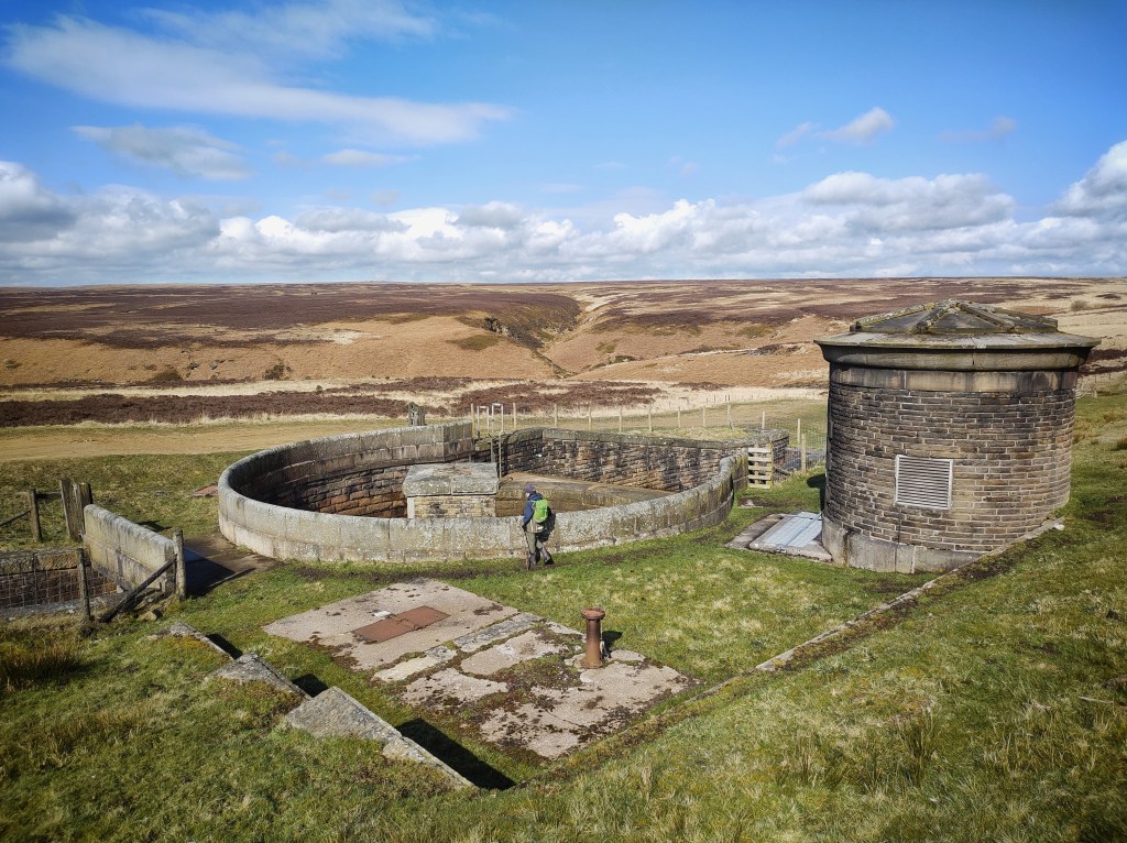
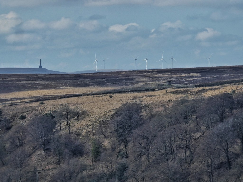
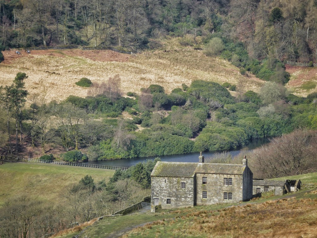
Stacked Pennine horizons haze into the south. Wind farms crowd the eastern skylines of Lancashire and Greater Manchester, 42 turbines spinning in the stiff spring breeze. West and closer to hand, nine more are planted on Ovenden Moor, crumpled with the quarries of the Nab Hill Delphs. On the slope under this shattered plateau was a strung-out settlement called Fly, its six farms vanished, its fields, which were hung around the hill like a green necklace, now choked with rushes so abundant that it is from here that they are annually harvested to decorate the cart of the Sowerby Bridge Rushbearing Festival. Below these fields the slope levels out again onto what was once the bog of Fill Belly Flat (a name that the OS has moved south on modern maps). In the 1860s, John F. Bateman created a reservoir for Halifax here and the farms of Fly, prohibited from keeping cattle on its catchment, disappeared soon after, although the quarrying on which they must also have once depended continued, remarkably, until 2000.
Bateman’s reservoir, fed by waters from the moorland north of High Brown Knoll by a one-and-a-half-mile-long catchwater drain, was originally labelled as Fly Flat, but came to have the official name of Warley Moor, though it is still locally rendered as Fly Flatts. Today, although home to a sailing club and a favourite haunt of birdwatchers, it is empty of people. Only geese and gulls bob on its choppy surface, and the sheep cropping its nine-hundred-yard dam wall are undisturbed. It is full to the brim, its overflow churning down Clunter Clough to feed the fledgling Luddenden Brook. It is replete enough to be generous even to other dams; a buried pot pipe, in places exposed and cracked so that the waters within catch glimpses of the sky, supplies a conduit that ambles to two-and-a-quarter-mile-distant Leadbeater Dam, constructed in 1835 for mills at Wainstalls. Water was rarely allowed to follow its own course for its own sake here.
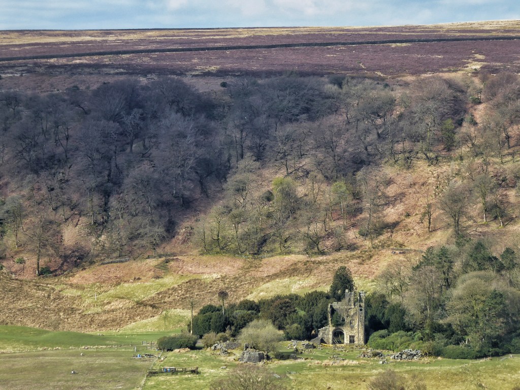
Wind soughs through the Molinia seedheads and around the rocks of a cairn adorned with the lipstick-red cups of the British soldiers lichen. Below is the access black hole that is the Castle Carr estate, its woods and reservoirs inviting but off-limits. A 1961 Yorkshire Life article gushes over the centrepiece of this nineteenth-century creation, a mock-medieval baronial hall blending Norman and Tudor architecture. But the heyday of its sixty-two-foot-long banqueting hall, its Great Stairway and Grand Hall, its massive fireplaces and chiming clock tower, was over almost before it began: Captain Joseph Priestly Edwards, its owner, was killed in a railway disaster before his new home was finished, and his son resided there for just four years from its completion in 1872. By 1895 it was on its fourth owner, the Murgatroyds, and was barely lived in again, with a final party in 1932. It was in a state of collapse and shortly to be demolished by the time Yorkshire Life profiled its short-lived glories. The only trace left is the stump of its gatehouse in the centre of its empty acres, thronged but once a year for the Rotary-organised viewing of its spectacular 130-foot fountain, second in height only to Chatsworth.
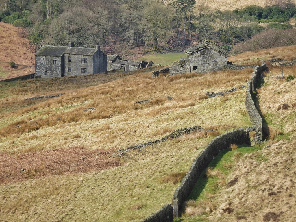
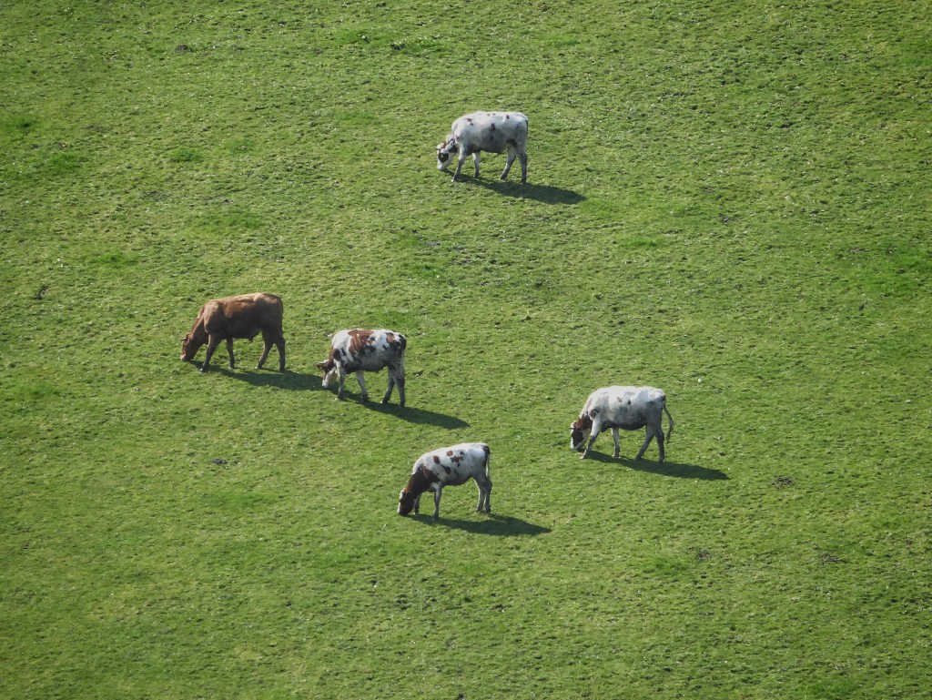
Grand shooting parties there may have been at Castle Carr, but a little downstream, Bob’s Tearoom is one of the hubs of the valley’s conviviality these days. Having farmed for the best part of forty years, Bob had a notion that serving cake to walkers and cyclists might be easier. If asked whether this has been borne out, he’ll smile ruefully, for it turns out that the quality of his cakes and the delectable setting of his beautifully-gardened farmyard ensures he is more or less constantly inundated with customers. Today is no different, the tables full among stone troughs burgeoning with frogspawn and under trees from which comes the golden liquid song of the first willow warbler to arrive from south of the Sahara. Below the chatter and the clink of cups and cutlery, in a pasture sloping steeply down towards the brook, his remaining small herd of beef cattle – for Bob keeps his hand in with a few acres yet – graze as contentedly in the sun as the new herds for which he caters.
In the days that follow, the wind picks up and the air temperature stubbornly refuses to keep pace with the sun’s growing strength. Nick wades in the river with his rod, looking for brown trout and despairing at the bacterial biofilms that coat the rocks on its bed and the wet wipes that are caught in its hollows. A few hundred yards upstream, the Eastwood Waste Water Treatment Works is the worst offender of the 60 sites at which Yorkshire Water releases sewage into the River Calder along its 53-mile length. The Environment Agency licences the dumping of sewage into rivers when there is danger of overflow during heavy rain, yet there were 167 separate releases, totalling nearly 3000 hours, fully one-third of a year, from Eastwood in 2022, which seems far more than these exceptional conditions would allow. That the brown trout that Nick is searching for, the dippers that dart past and the grey wagtails that dance around him, or the otters whose zig-zag of bubbles he sometimes sees, can survive the appalling pursuit of profit before the common good that ensures this practice is allowed to continue, is something we should we be thankful for, if ashamed of the conditions we make them endure.
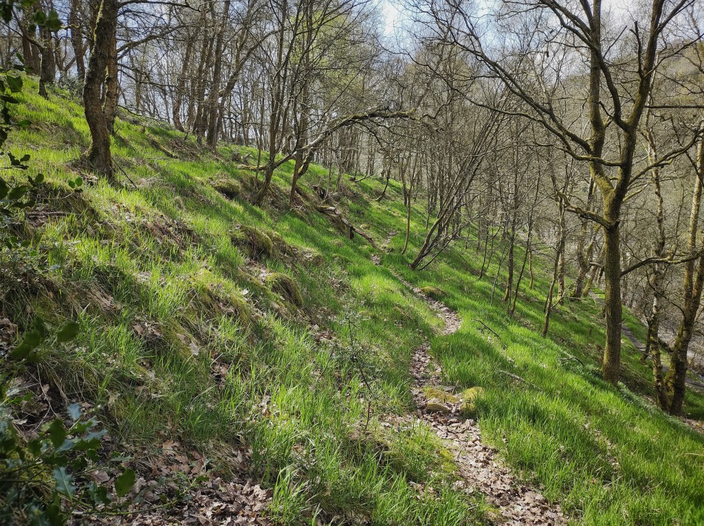
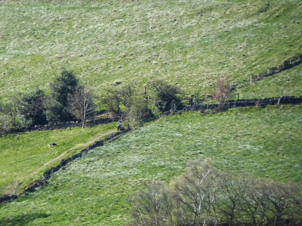
In Callis Wood above the river, a narrow path leaves the ruin of Goose Gate and traverses high above the canal. Despite being precipitous it is well-used, but above it there is a safer path, faint and meandering and covered in last year’s leaves, and above this, there is a long bank of large stones, mossed over and draped with the long grass that still thrives in the young woodland that established after the previous beech plantation was clear-felled during the Second World War. This bank follows the boundary of the medieval deer park of Erringden, although whether it dates from that time is unknown, for there was an administrative artefact that survived for 400 years after the park’s dispalement in 1451; the Sowerby Ramble. This strip of land, a tentacle of the township of Sowerby that wrapped itself around the border of the 3000-acre park, was to ensure access to the oak paling fence for maintenance, but it remained part of Sowerby when the new township of Erringden was created out of the park’s demise. Perhaps the bank was created to mark this boundary, but it is clearly very old, unnoticed under the birch.
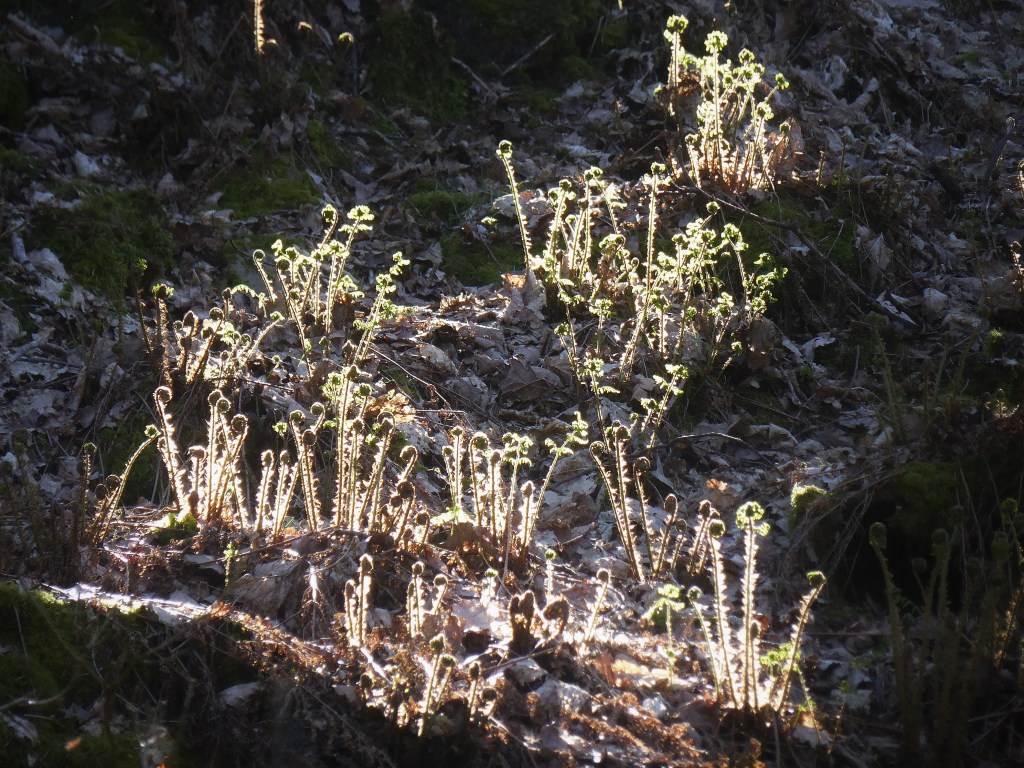
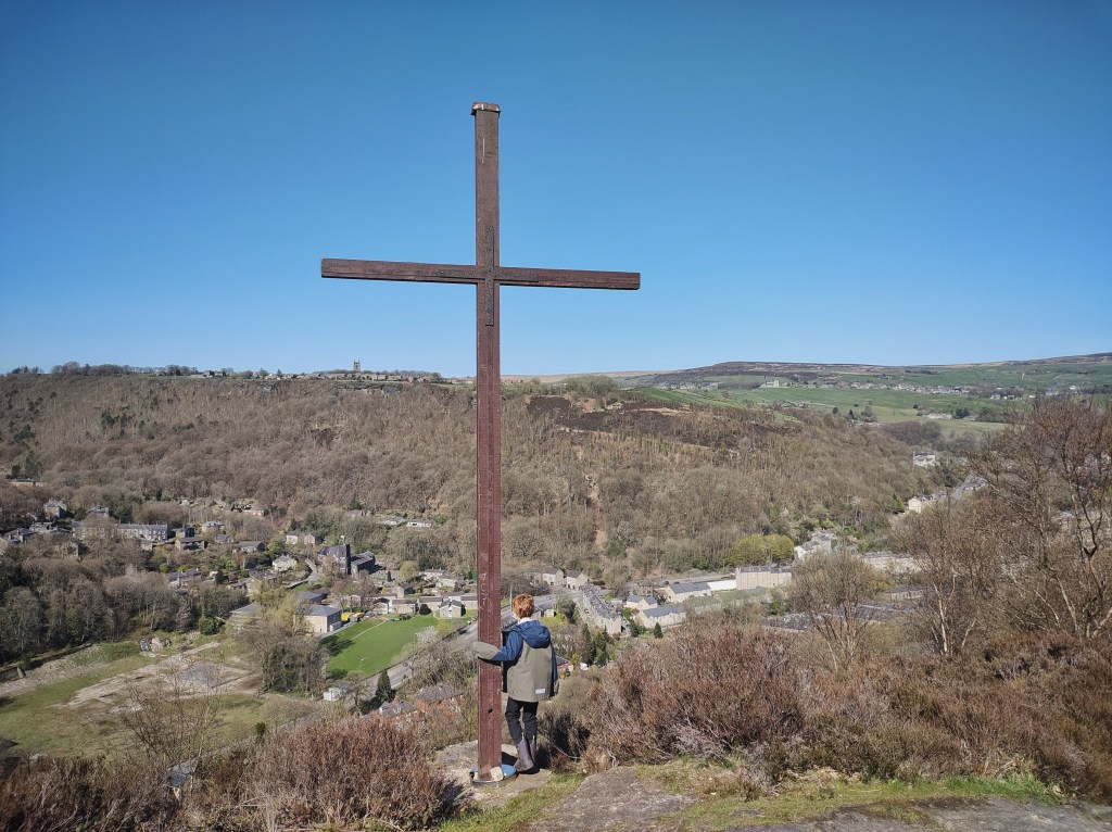
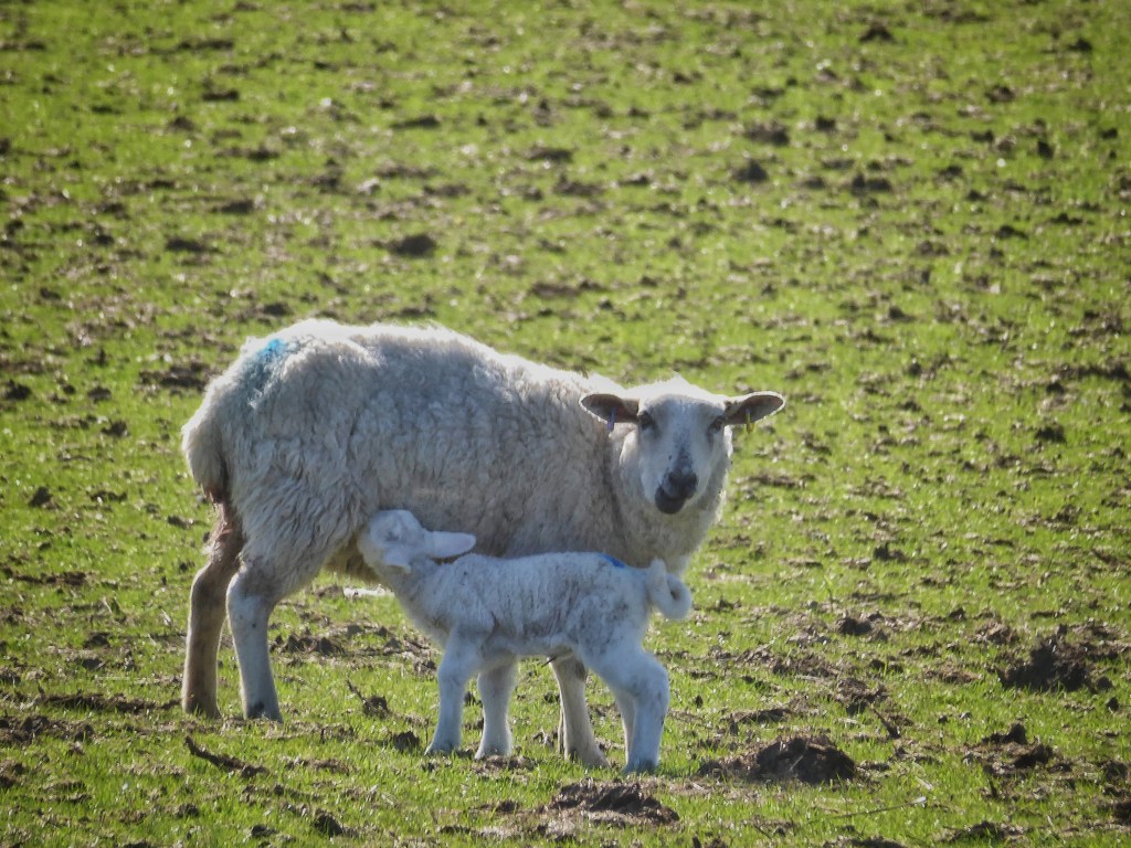
Buckler ferns are catching the light as they unfurl in Horsehold Wood, and swallows coast around the cross that will crown its rocks until Ascension Day. The wind riffles the long grass in the fields below Lower Rawtonstall, while those around Valley View Farm above Pecket Well sport light and dark stripes like a suburban lawn, having been flat rolled to push down stones unearthed by frost heave and soil brought up by moles that may contaminate the silage, and to stimulate the new season’s growth. The cattle at Horsehold Farm are enjoying the sun in the yard after a winter in the barn, while across at Edge End, they are already released onto the moor. Sweet William and cowslips border the green lane to Pinnacle Farm; a Pennine Wayfarer, repeating the route 50 years after his first go, contemplates the final push uphill of a long day and his hope to find hospitality at May’s; and the quad bike returns to Edge End Farm after a check on the newest lamb in the valley, tottering on unsteady legs beside its mother, who licks the afterbirth from its wet fleece and gently nudges it upright.